
GIS Applications in Agriculture – serie
Visar alla böcker i serien GIS Applications in Agriculture. Handla med fri frakt och snabb leverans.
6 produkter
6 produkter
Häftad, Engelska, 2019
997 kr
Skickas inom 10-15 vardagar
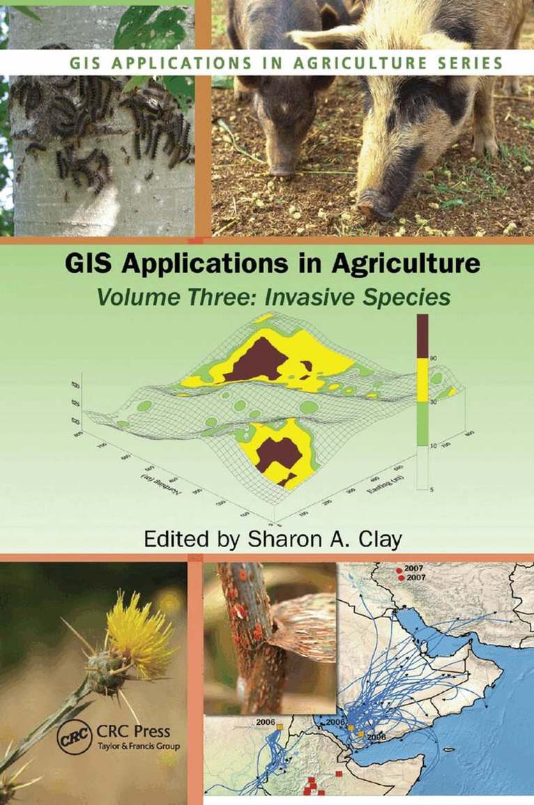
While many "alien" plant and animal species are purposefully introduced into new areas as ornamentals, livestock, crops, and even pets, these species can escape into other areas and threaten agricultural and native ecosystems causing economic and environmental harm, or harm to human health. Increasingly, scientists are using Geographic Information Systems (GIS) to track and manage the invaders, mitigate the potential rate of spread and level of impact, and protect the native economy and ecosystem.Beginning with an introduction to the use of GIS technology to capture, store, analyze, manage, and present data, GIS Applications in Agriculture, Volume Three: Invasive Species examines five relevant categories of geographic information including dispersal and transport, prediction and forecasting, mapping of current infestations, maps for management and control tactics, and impact assessment and method of control. It address GIS for studying the population ecology of a new species, niche requirements for species success, and the monitoring and control of several different species including Australian examples of intentionally introduced invasive species, insects and other animals that may also vector a disease, and invasive weed management from prediction to management. Chapters cover maps and imageries available on various Web sites and provide step-by-step tutorials or case studies that allow manipulation of datasets featured on the accompanyingdownloadable resources to make maps, perform statistical analyses, and predict future problems. It offers hands-on experience with a variety of software programs that create interactive queries (user-created searches), analyze spatial information, edit data and maps, and present the results of these operations in several different formats. Some of the programs are freeware, others are not, but each can be used to integrate, edit, share, and display geographic information. Color figures are
Inbunden, Engelska, 2007
2 934 kr
Skickas inom 10-15 vardagar
The increased efficiency and profitability that the proper application of technology can provide has made precision agriculture the hottest developing area within traditional agriculture. The first single-source volume to cover GIS applications in agronomy, GIS Applications in Agriculture examines ways that this powerful technology can help farmers produce a greater abundance of crops with more efficiency and at lower costs.Each chapter describes the nature of a problem, examines the purpose and scope of a GIS application, presents the methods used to develop the application, and then goes on to provide results and offer a conclusion as well as supporting information. When appropriate, the chapters present the underlying statistical approach for the GIS software that is used. Applicable data sets and color maps produced by use of GIS are included for download at the CRC webiste. Concentrating more on the approach and less on the specific software, the authors describe the methods used to develop an application and discuss limitations to the algorithms and the programming code used. They then summarize the application in terms of what it does, how it works, its limitations, and its potential uses. The book provides a toolkit for the acquisition, management, and analysis of spatial data throughout the agriculture value chain.
Häftad, Engelska, 2021
760 kr
Skickas inom 10-15 vardagar
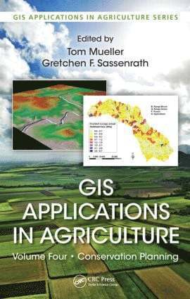
Conservation planning involves targeted management practices and land use decision-making based on careful analysis of landscape limitations in order to protect soil and water resources. Developing solutions to conservation planning is of worldwide interest due to anticipated population growth, growing demand of feedstocks for biofuels, decreasing freshwater resources, and increasing land degradation in the developed world. Recent advances in geospatial technologies now provide land managers with tools and resources to conserve soil and water resources more efficiently than has ever been possible before.GIS Applications in Agriculture, Volume 4: Conservation Planning presents approaches developed by leading researchers working at the intersection of conservation and spatial technologies. Among others, the technologies include global positioning systems (GPS), geographic information systems (GIS), Internet mapping technologies, remote sensing, and various modeling applications. These advances allow improved prediction of soil erosion and environmental effects, better prioritization of land for conservation initiatives and funding, and enhanced prediction of the impact of management practices on natural resources. They also facilitate the development of conservation management plans and improve the accessibility of conservation knowledge and tools.The strategies presented are designed to provide the greatest benefit to preserving natural resources while reducing economic expenses. Each chapter includes a detailed background on the specific topic, with case studies describing the design and implementation of the solution. Readers are guided through step-by-step exercises to gain experience in executing the conservation practice. Substantial online data and modeling are available that can be immediately implemented or modified to suit users’ needs. The exercises are accessible enough to be used in the classroom, yet detailed enough for self-instruction by highly motivated professionals active in developing conservation plans.
Inbunden, Engelska, 2011
2 934 kr
Skickas inom 10-15 vardagar
While many "alien" plant and animal species are purposefully introduced into new areas as ornamentals, livestock, crops, and even pets, these species can escape into other areas and threaten agricultural and native ecosystems causing economic and environmental harm, or harm to human health. Increasingly, scientists are using Geographic Information Systems (GIS) to track and manage the invaders, mitigate the potential rate of spread and level of impact, and protect the native economy and ecosystem.Beginning with an introduction to the use of GIS technology to capture, store, analyze, manage, and present data, GIS Applications in Agriculture, Volume Three: Invasive Species examines five relevant categories of geographic information including dispersal and transport, prediction and forecasting, mapping of current infestations, maps for management and control tactics, and impact assessment and method of control. It address GIS for studying the population ecology of a new species, niche requirements for species success, and the monitoring and control of several different species including Australian examples of intentionally introduced invasive species, insects and other animals that may also vector a disease, and invasive weed management from prediction to management. Chapters cover maps and imageries available on various Web sites and provide step-by-step tutorials or case studies that allow manipulation of datasets featured on the accompanyingdownloadable resources to make maps, perform statistical analyses, and predict future problems. It offers hands-on experience with a variety of software programs that create interactive queries (user-created searches), analyze spatial information, edit data and maps, and present the results of these operations in several different formats. Some of the programs are freeware, others are not, but each can be used to integrate, edit, share, and display geographic information. Color figures are
Inbunden, Engelska, 2011
2 934 kr
Skickas inom 10-15 vardagar
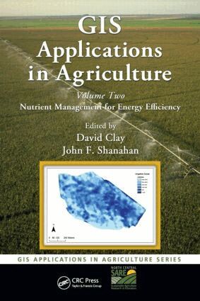
We are entering a new era in production agronomics. Agricultural scientists the world over call for the development of techniques that simultaneously increase soil carbon storage and reduce agriculture’s energy use. In response, site-specific or precision agriculture has become the focus and direction for the three motivating forces that are changing agriculture today: the expanding capacity of personal computers, the molecular biology revolution, and the recent developments in information technology such as the increasing use of geographical information systems (GIS).Using mathematics, technology, and creativity, GIS Applications in Agriculture, Volume Two: Nutrient Management for Energy Efficiency examines the development of nutrient management practices that help producers improve their profitability and energy efficiency. Throughout the book, chapters demonstrate how complex mathematical and spatial modeling approaches can provide the basis for much of our present and certainly our future management practices. Highlighting recent successes and the nuts and bolts associated with implementing the proposed techniques, the book covers energy efficiency calculations, techniques for overcoming yield-limiting factors, soil information collection and analysis, and remote sensing for improving management decisions. It describes the development of an economically optimum site-specific corn plant population equation based on an experiment containing many field sites, the estimation of soil productivity and energy efficiency using online data sources, and the assessment and implementation of site-specific carbon and water management systems, analyzing energy efficiency of compost and manures. Emphasizing the mathematics that will enable producers to make full use of the technological advances made during the 21st century, GIS Applications in Agriculture, Volume Two holds the key to the successful, sustainable, and efficient production of food to feed the ever increasing world population.
Inbunden, Engelska, 2015
1 393 kr
Tillfälligt slut
Conservation planning involves targeted management practices and land use decision-making based on careful analysis of landscape limitations in order to protect soil and water resources. Developing solutions to conservation planning is of worldwide interest due to anticipated population growth, growing demand of feedstocks for biofuels, decreasing freshwater resources, and increasing land degradation in the developed world. Recent advances in geospatial technologies now provide land managers with tools and resources to conserve soil and water resources more efficiently than has ever been possible before.GIS Applications in Agriculture, Volume 4: Conservation Planning presents approaches developed by leading researchers working at the intersection of conservation and spatial technologies. Among others, the technologies include global positioning systems (GPS), geographic information systems (GIS), Internet mapping technologies, remote sensing, and various modeling applications. These advances allow improved prediction of soil erosion and environmental effects, better prioritization of land for conservation initiatives and funding, and enhanced prediction of the impact of management practices on natural resources. They also facilitate the development of conservation management plans and improve the accessibility of conservation knowledge and tools.The strategies presented are designed to provide the greatest benefit to preserving natural resources while reducing economic expenses. Each chapter includes a detailed background on the specific topic, with case studies describing the design and implementation of the solution. Readers are guided through step-by-step exercises to gain experience in executing the conservation practice. Substantial online data and modeling are available that can be immediately implemented or modified to suit users’ needs. The exercises are accessible enough to be used in the classroom, yet detailed enough for self-instruction by highly motivated professionals active in developing conservation plans.