• Fri frakt över 249 kr
  • •
  • Snabba leveranser
  • •
  • Billiga böcker
Kundservice

Du är på sajten för privatpersoner.

Företag, bibliotek eller offentlig verksamhet?

Du handlar på classic.bokus.com, där alla dina funktioner finns intakta.
Till classic.bokus.com
Bokus logotyp. Gå till startsidan.
  • Erbjudanden
  • Nyheter
  • Student
  • Topplistor
  • Barn & ungdom
  • Bokus Play
  • E-böcker
  • Pocketböcker
  • Spel & pussel

10% rabatt på allt med kod: NYSTART10 →

Sidfot

Mina sidor

    Hjälp

    • Kundservice
    • Vanliga frågor och svar
    • Frakt och leverans
    • Retur vid ångerrätt
    • Reklamera vara
    • Betalning
    • Köpvillkor
    • Allmänna villkor
    • Information om webbplatsens tillgänglighet

    Om Bokus

    • Om oss
    • Pressrum
    • För studenter
    • För företag
    • För bibliotek och offentlig verksamhet
    • För leverantörer
    • Hållbarhet

    Populärt

    • Aktuella erbjudanden
    • Presentkort
    • Studentlitteratur
    • Nya böcker
    • Topplistor
    • Signerade böcker
    • Engelska böcker

    Inspiration

    • Boktips
    • BookTok
    • Populära bokserier
    • Barnbokskaraktärer
    • Populära författare
    Logotyp för Bokus
    Följ oss på Facebook (extern länk)Följ oss på Instagram (extern länk)Följ oss på YouTube (extern länk)Följ oss på TikTok (extern länk)
    bokus @ CookiesAnpassa cookiesIntegritetspolicyKöpvillkor
    Till Citymail hemsida (extern länk)Till Budbee hemsida (extern länk)Till Postnord hemsida (extern länk)Till Schenker hemsida (extern länk)Till Early Bird hemsida (extern länk)Till Walleys hemsida (extern länk)
    1. Naturvetenskap och teknik
    2. Geovetenskap
    3. Geografi

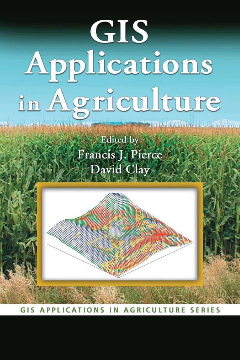
    GIS Applications in Agriculture

    AvFrancis J. Pierce,David Clay

    Inbunden, Engelska, 2007

    Del i serien GIS Applications in Agriculture

    2 954 kr

    Beställningsvara. Skickas inom 10-15 vardagar. Fri frakt över 249 kr.

    Beskrivning

    The increased efficiency and profitability that the proper application of technology can provide has made precision agriculture the hottest developing area within traditional agriculture. The first single-source volume to cover GIS applications in agronomy, GIS Applications in Agriculture examines ways that this powerful technology can help farmers produce a greater abundance of crops with more efficiency and at lower costs.Each chapter describes the nature of a problem, examines the purpose and scope of a GIS application, presents the methods used to develop the application, and then goes on to provide results and offer a conclusion as well as supporting information. When appropriate, the chapters present the underlying statistical approach for the GIS software that is used. Applicable data sets and color maps produced by use of GIS are included for download at the CRC webiste. Concentrating more on the approach and less on the specific software, the authors describe the methods used to develop an application and discuss limitations to the algorithms and the programming code used. They then summarize the application in terms of what it does, how it works, its limitations, and its potential uses. The book provides a toolkit for the acquisition, management, and analysis of spatial data throughout the agriculture value chain.

    Produktinformation

    • Utgivningsdatum:2007-02-13
    • Mått:156 x 234 x undefined mm
    • Vikt:440 g
    • Format:Inbunden
    • Språk:Engelska
    • Serie:GIS Applications in Agriculture
    • Antal sidor:216
    • Förlag:Taylor & Francis Inc
    • ISBN:9780849375262

    Utforska kategorier

    • Geografi inom Naturvetenskap och teknik

    Recensioner i media

    "… as there is a distinct lack of introductory GIS texts or websites specifically relating geospatial technologies to agriculture, this series helps fill that void." – Roger Knouff, Arizona State University in Journal of Spatial Science, 2008

    Innehållsförteckning

    • Application of GIS to Integrated Pesticide Management on US Fish and Wildlife Land. Enhancing Sugarbeet Quality Using Remote Sensing and GIS. Using Historical Management Areas to Reduce Soil Sampling Error. Developing Productivity Zones from Multiple Years of Yield Monitoring Data. Linking GIS and Decision Model to Evaluate Site-Specific Weed Management. Map Quality Assessment for Site-Specific Management. Using ArcGIS for Yield Data Analysis. Enhanced Farm Research Analyst. Soil Salinity Mapping Using ArcGIS. DM_Comp Data Management (Comparison).