• Fri frakt över 249 kr
  • •
  • Snabba leveranser
  • •
  • Billiga böcker
Kundservice

Du är på sajten för privatpersoner.

Företag, bibliotek eller offentlig verksamhet?

Du handlar på classic.bokus.com, där alla dina funktioner finns intakta.
Till classic.bokus.com
Bokus logotyp. Gå till startsidan.
  • Erbjudanden
  • Nyheter
  • Student
  • Topplistor
  • Barn & ungdom
  • Bokus Play
  • E-böcker
  • Pocketböcker
  • Spel & pussel

10% rabatt på allt med kod: NYSTART10 →

Sidfot

Mina sidor

    Hjälp

    • Kundservice
    • Vanliga frågor och svar
    • Frakt och leverans
    • Retur vid ångerrätt
    • Reklamera vara
    • Betalning
    • Köpvillkor
    • Allmänna villkor
    • Information om webbplatsens tillgänglighet

    Om Bokus

    • Om oss
    • Pressrum
    • För studenter
    • För företag
    • För bibliotek och offentlig verksamhet
    • För leverantörer
    • Hållbarhet

    Populärt

    • Aktuella erbjudanden
    • Presentkort
    • Studentlitteratur
    • Nya böcker
    • Topplistor
    • Signerade böcker
    • Engelska böcker

    Inspiration

    • Boktips
    • BookTok
    • Populära bokserier
    • Barnbokskaraktärer
    • Populära författare
    Logotyp för Bokus
    Följ oss på Facebook (extern länk)Följ oss på Instagram (extern länk)Följ oss på YouTube (extern länk)Följ oss på TikTok (extern länk)
    bokus @ CookiesAnpassa cookiesIntegritetspolicyKöpvillkor
    Till Citymail hemsida (extern länk)Till Budbee hemsida (extern länk)Till Postnord hemsida (extern länk)Till Schenker hemsida (extern länk)Till Early Bird hemsida (extern länk)Till Walleys hemsida (extern länk)
    1. Naturvetenskap och teknik
    2. Geovetenskap
    3. Geografi

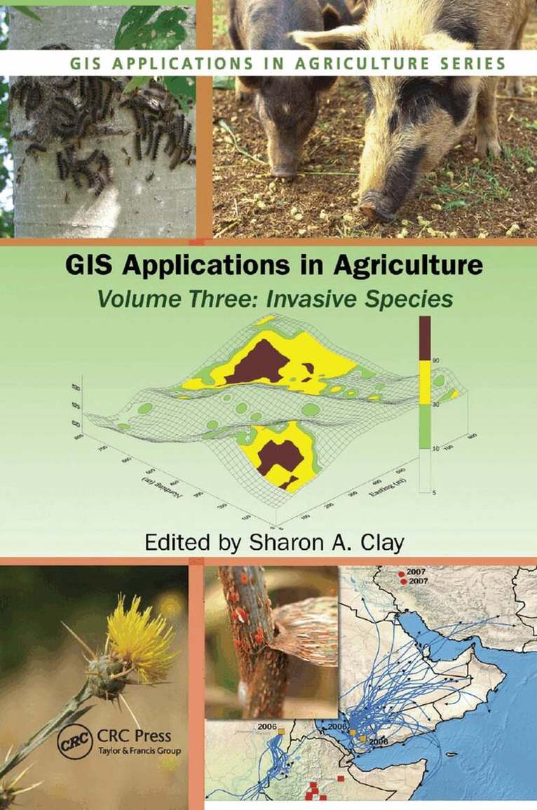
    GIS Applications in Agriculture, Volume Three

    Invasive Species

    AvSharon A. Clay

    Häftad, Engelska, 2019

    Del i serien GIS Applications in Agriculture

    1 004 kr

    Beställningsvara. Skickas inom 10-15 vardagar. Fri frakt över 249 kr.

    Beskrivning

    While many "alien" plant and animal species are purposefully introduced into new areas as ornamentals, livestock, crops, and even pets, these species can escape into other areas and threaten agricultural and native ecosystems causing economic and environmental harm, or harm to human health. Increasingly, scientists are using Geographic Information Systems (GIS) to track and manage the invaders, mitigate the potential rate of spread and level of impact, and protect the native economy and ecosystem.Beginning with an introduction to the use of GIS technology to capture, store, analyze, manage, and present data, GIS Applications in Agriculture, Volume Three: Invasive Species examines five relevant categories of geographic information including dispersal and transport, prediction and forecasting, mapping of current infestations, maps for management and control tactics, and impact assessment and method of control. It address GIS for studying the population ecology of a new species, niche requirements for species success, and the monitoring and control of several different species including Australian examples of intentionally introduced invasive species, insects and other animals that may also vector a disease, and invasive weed management from prediction to management. Chapters cover maps and imageries available on various Web sites and provide step-by-step tutorials or case studies that allow manipulation of datasets featured on the accompanyingdownloadable resources to make maps, perform statistical analyses, and predict future problems. It offers hands-on experience with a variety of software programs that create interactive queries (user-created searches), analyze spatial information, edit data and maps, and present the results of these operations in several different formats. Some of the programs are freeware, others are not, but each can be used to integrate, edit, share, and display geographic information. Color figures are

    Produktinformation

    • Utgivningsdatum:2019-09-19
    • Mått:156 x 234 x 24 mm
    • Vikt:657 g
    • Format:Häftad
    • Språk:Engelska
    • Serie:GIS Applications in Agriculture
    • Antal sidor:448
    • Förlag:Taylor & Francis Ltd
    • ISBN:9780367383053

    Utforska kategorier

    • Geografi inom Naturvetenskap och teknik
    • Agronomi inom Naturvetenskap och teknik

    Mer om författaren

    The Editor:Sharon A. Clay, PhD., is a professor of weed science at South Dakota State University where she has research and teaching responsibilities. She received a B.S. degree in Horticulture from the University of Wisconsin-Madison in 1977, an M.S. degree in Plant Science from the University of Idaho in 1983 examining barley variety sensitivity to various herbicides, and a Ph.D. in Agronomy from the University of Minnesota in 1987 where she examined weed management in wild rice production systems of northern Minnesota. She has conducted weed management studies in range and cropping systems that include corn, soybean, wheat, barley, wild rice, flax, and sunflower, as well as studies in weed physiology and site specific weed management strategies. Dr. Clay has published over 100 scientific articles and has served on the editorial boards for Agronomy Journal, Weed Science, and Site-Specific Management Guidelines. Dr. Clay has served on numerous national committees and review panels and has active memberships in, and has served as president of the SD Chapters of the honorary societies Sigma Xi and Gamma Sigma Delta. She served as the chairperson of the Agricultural Systems division in the American Society of Agronomy, participated in numerous ASA committees, was elected to ASA Fellow in 2009, and has held several positions in the Weed Science Society of America.

    Innehållsförteckning

    • Introduction: Remote Sensing and GIS Techniques for the Detection, Surveillance, and Management of Invasive Species. Obtaining Spatial Data. Population Ecology Considerations for Monitoring and Managing Biological Invasions. Integrating GPS, GIS, and Remote Sensing Technologies with Disease Management Principles to Improve Plant Health. Mapping Actual and Predicted Distribution of Pest Animals and Weeds in Australia. Use of GIS Applications to Combat the Threat of Emerging Virulent Wheat Stem Rust Races. An Online Aerobiology Process Model. Site Specific Management of Green Peach Aphid, Myzus persicae (Sulzer). Analysis of the 2002 Equine West Nile Virus Outbreak in South Dakota Using GIS and Spatial Statistics. Designing a Local-scale Microsimulation of Lesser Grain Borer Population Dynamics and Movements. Geographic Information Systems in Corn Rootworm Management,. Improving Surveillance for Invasive Plants: A GIS Toolbox for Surveillance Decision Support. Tracking Invasive Weed Species in Rangeland Using Probability Functions to Identify Site Specific Boundaries: A Case Study Using Yellow Starthistle (Centaurea solstitialis L.). Using GIS to Map and Manage Weeds in Field Crops. Adapting Geostatistics to Analyze Spatial and Temporal Trends in Weed Populations. Using GIS to Investigate Weed Shifts After Two Cycles of a Corn/Soybean Rotation. Creating and Using Weed Maps for Site-Specific Management.