
Del i serien freytag & berndt Wander-Rad-Freizeitkarten
163 kr
Beställningsvara. Skickas inom 3-6 vardagar. Fri frakt över 249 kr.
Beskrivning
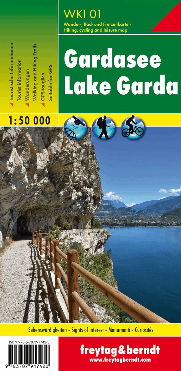
The Saualpe hiking map is the best map for hiking, cycling, mountaineering and ski touring thanks to its exact cartography and ideal scale. It is regularly revised and shows all hiking trails, cycling and mountain biking trails, huts, natural monuments, cultural sights and leisure facilities. The booklet contains a selection of the most beautiful hikes and bike tours in the region as well as a brief description of the individual communities and their leisure activities. (Language: German) The WK 237 offers: Hiking and long-distance hiking trails Mountain bike and cycling tours Schiroute, Langlaufroute leisure information Register of places with postcodes GPS compatible via ferrata bridle paths Nordic walking routes Region: Lavanttal, Unterkärnten, Schilcherland, Weststeiermark, Weststeirisches Hügelland, Carinthia, Styria. Special themed hiking trails: European long-distance hiking trail no. 6, southern Alpine trail, north-south trail, Mariazeller trail, Eisenwurzen trail, Via Alpina, St. Large Speikkogel tour, around the Greimkogel. Special cycle and mountain bike tours: Drau Cycle Path, Lavant Cycle Path, Schilcher Cycle Tour, Lorenzberg Route, Shoulder Kogel Tour. Environment maps: WK 132, WK 212, WK 237, WK 0238, WK 411
Produktinformation
Utforska kategorier
Hoppa över listan
Mer från samma serie
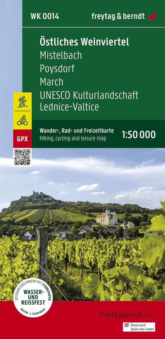
Eastern Weinviertel Hiking, Cycling and leisure map
Freytag-Berndt, Freytag-Berndt und Artaria KG
163 kr
Hoppa över listan
Du kanske också är intresserad av
Mittelkärnten, Wander-, Rad- und Freizeitkarte 1:50.000, freytag & berndt, WK 231
Freytag & Berndt
163 kr
WK 202 Radstädter Tauern - Katschmountain - Lungau, Walking
Freytag-Berndt, Freytag-Berndt und Artaria KG
163 kr
- Nyhet