South Downs Way
With Ordnance Survey Mapping
146 kr
Skickas . Fri frakt över 249 kr.
Beskrivning
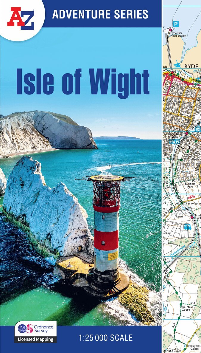
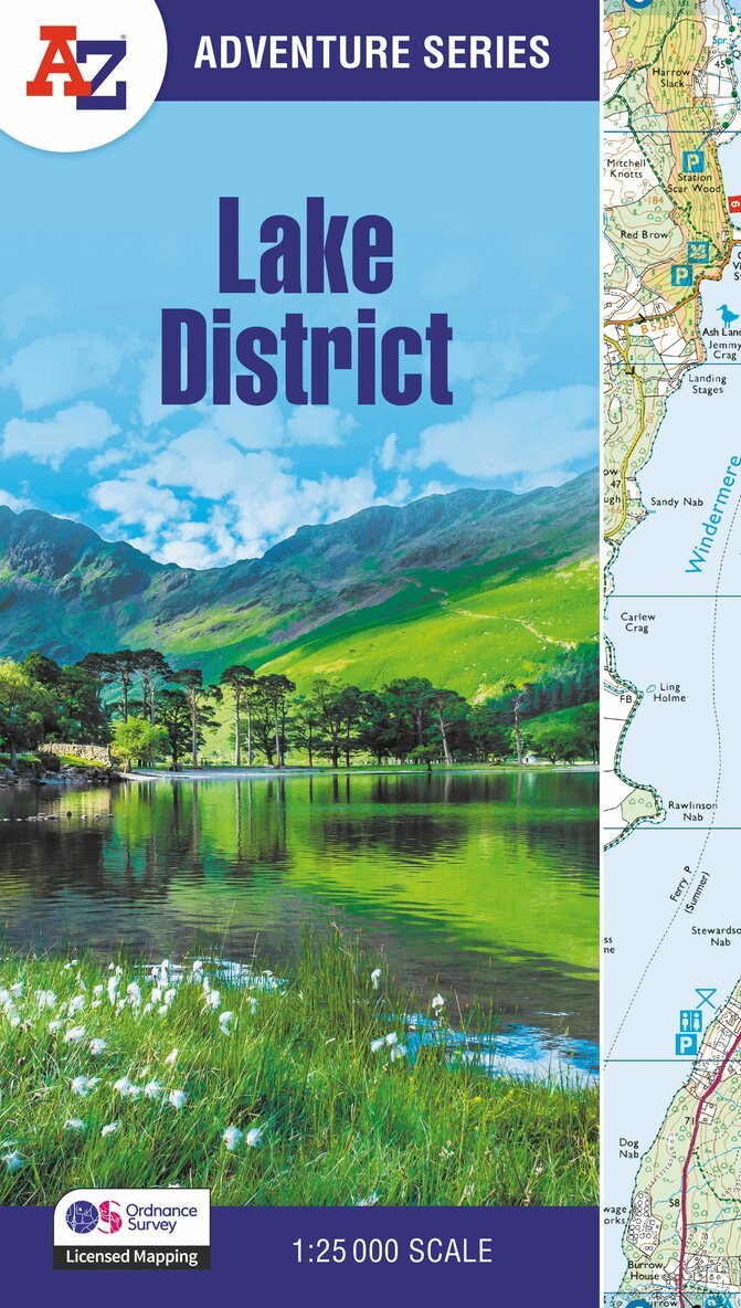
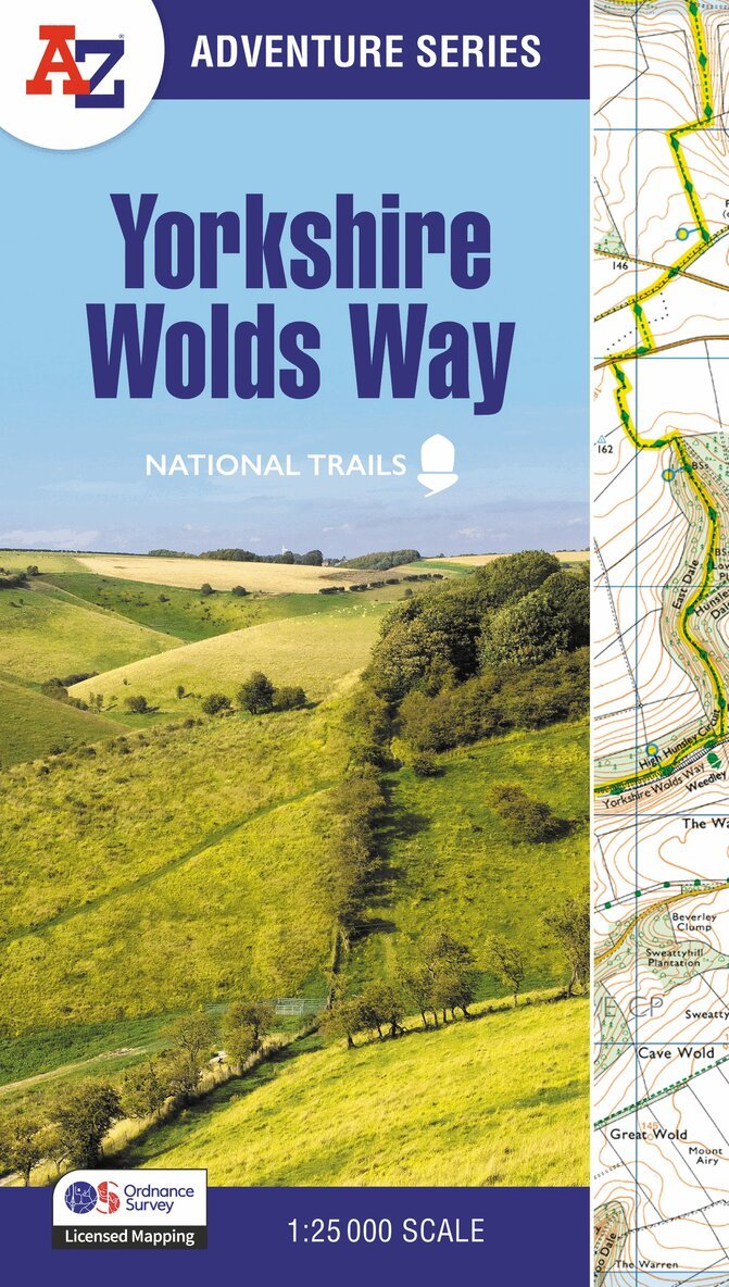
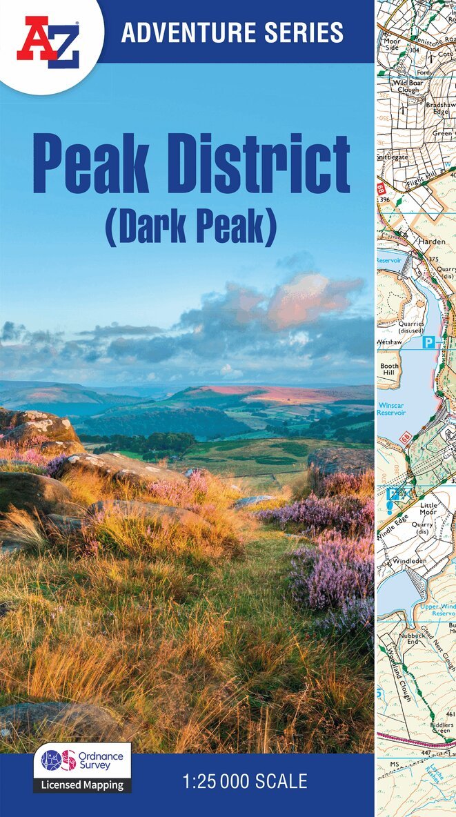
The A-Z Adventure Series uses Ordnance Survey mapping and is the perfect companion for walkers, off-road cyclists, and anyone wishing to explore the great outdoors.Starting in Winchester and finishing in Eastbourne, the scenic South Downs Way is a 100 mile (160 km) National Trail route lying within the South Downs National Park.This National Trail Map features detailed Ordnance Survey mapping at a scale of 1:25 000, providing complete coverage of the South Downs Way. It also includes a route planner showing distances between places and the amenities available to make it easy to plan your adventure. Additional features include: Campsites (seasonal opening)Information CentresHotels/B&BsYouth HostelsPublic HousesShopsRestaurantsCafes (seasonal opening)Petrol StationsOther books available in the A-Z Adventure series include: Peak District (Dark Peak), Cotswold Way, Peddars Way and Norfolk Coast Path, Pembrokeshire Coast Path, South West Coast Path and The North Coast 500.