Pembrokeshire Coast Path
With Ordnance Survey Mapping
151 kr
Skickas . Fri frakt över 249 kr.
Beskrivning
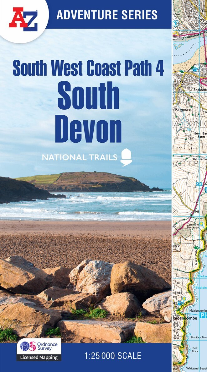
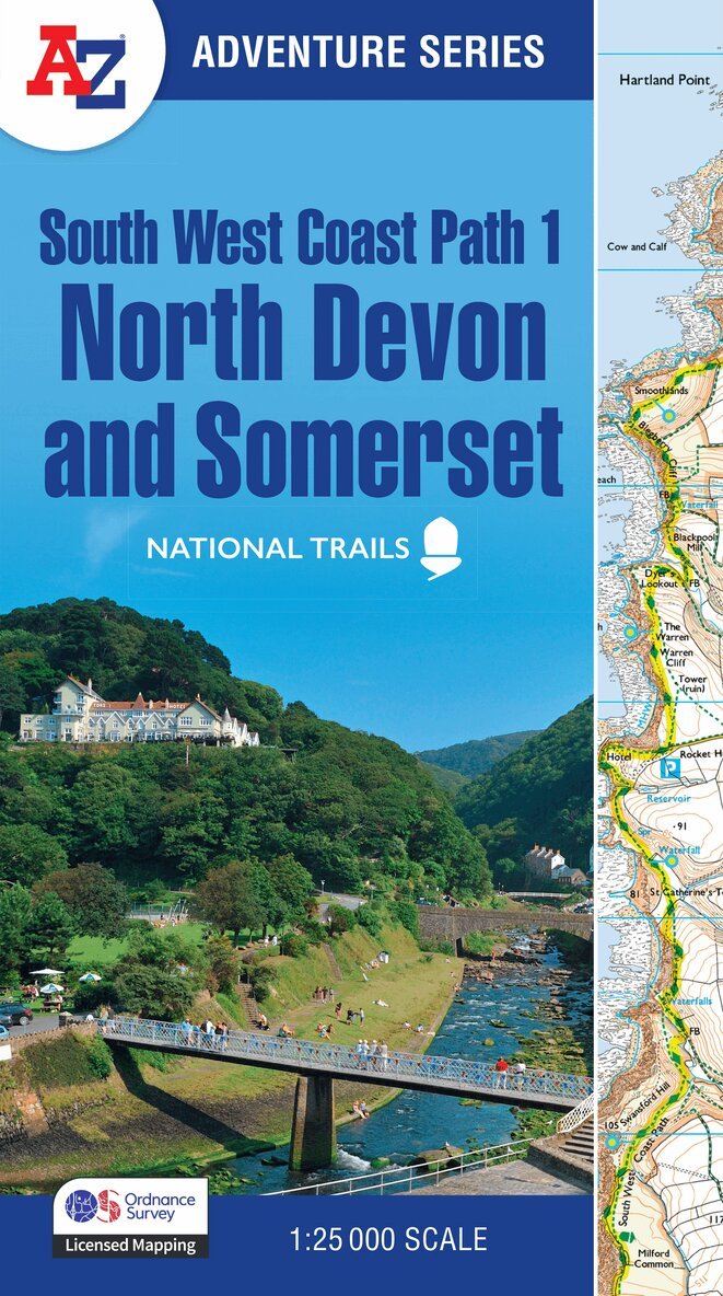
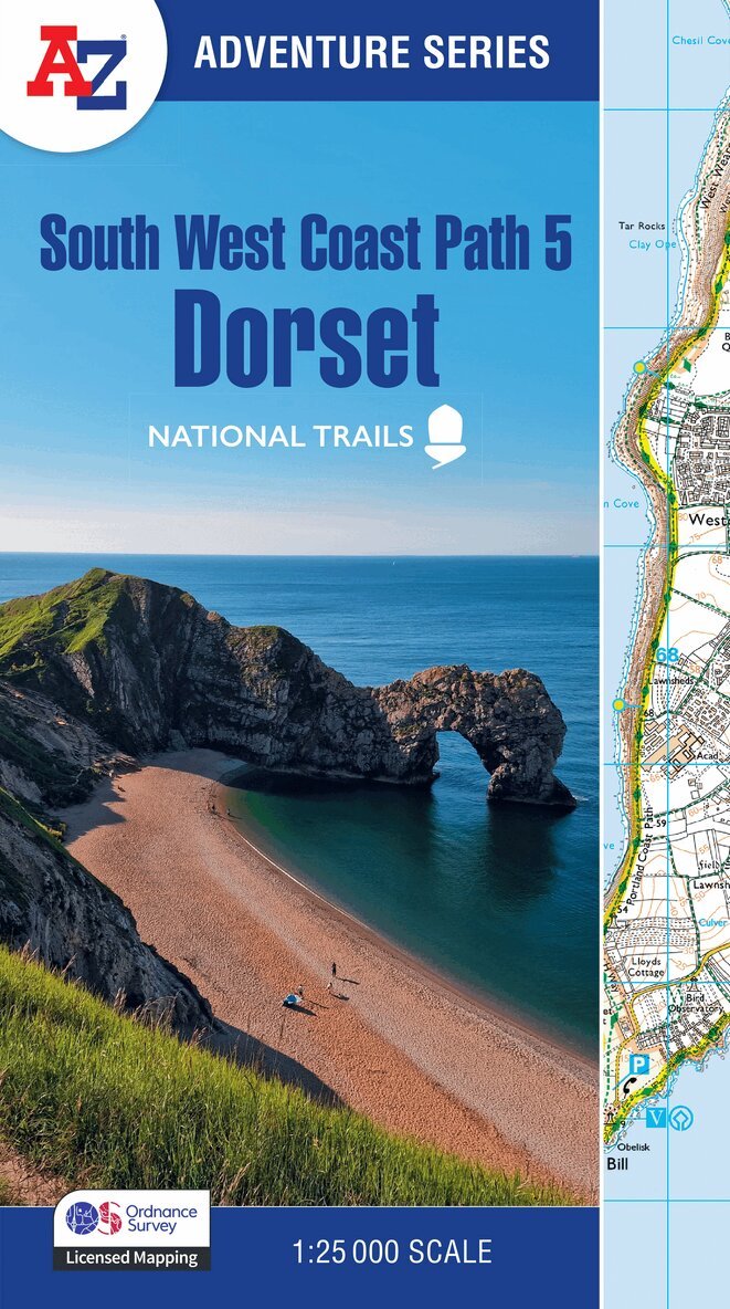
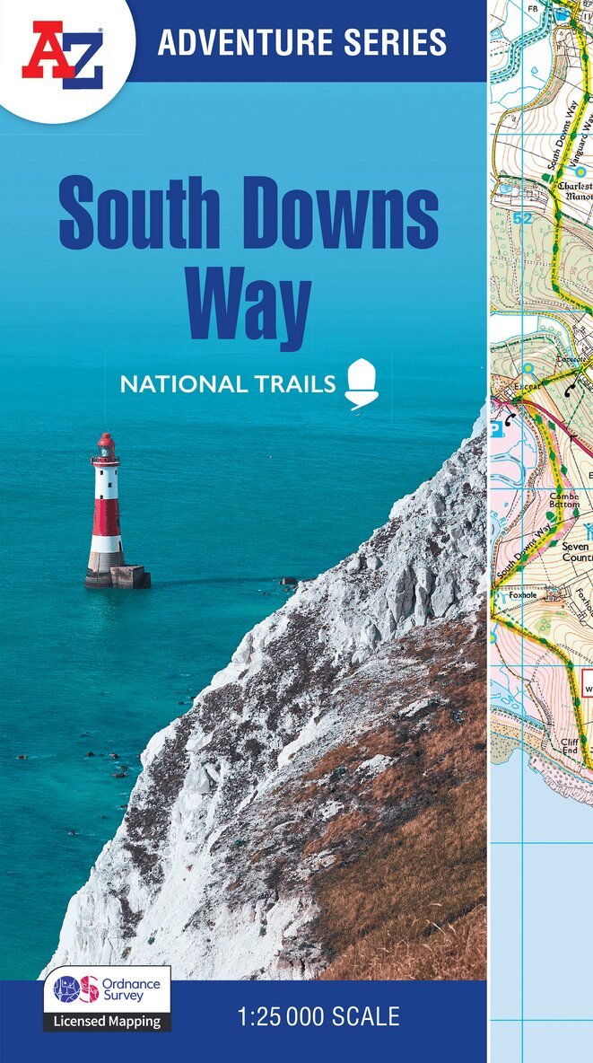
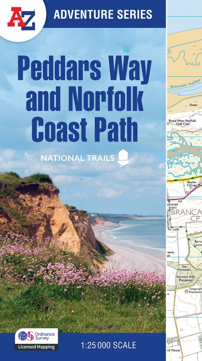
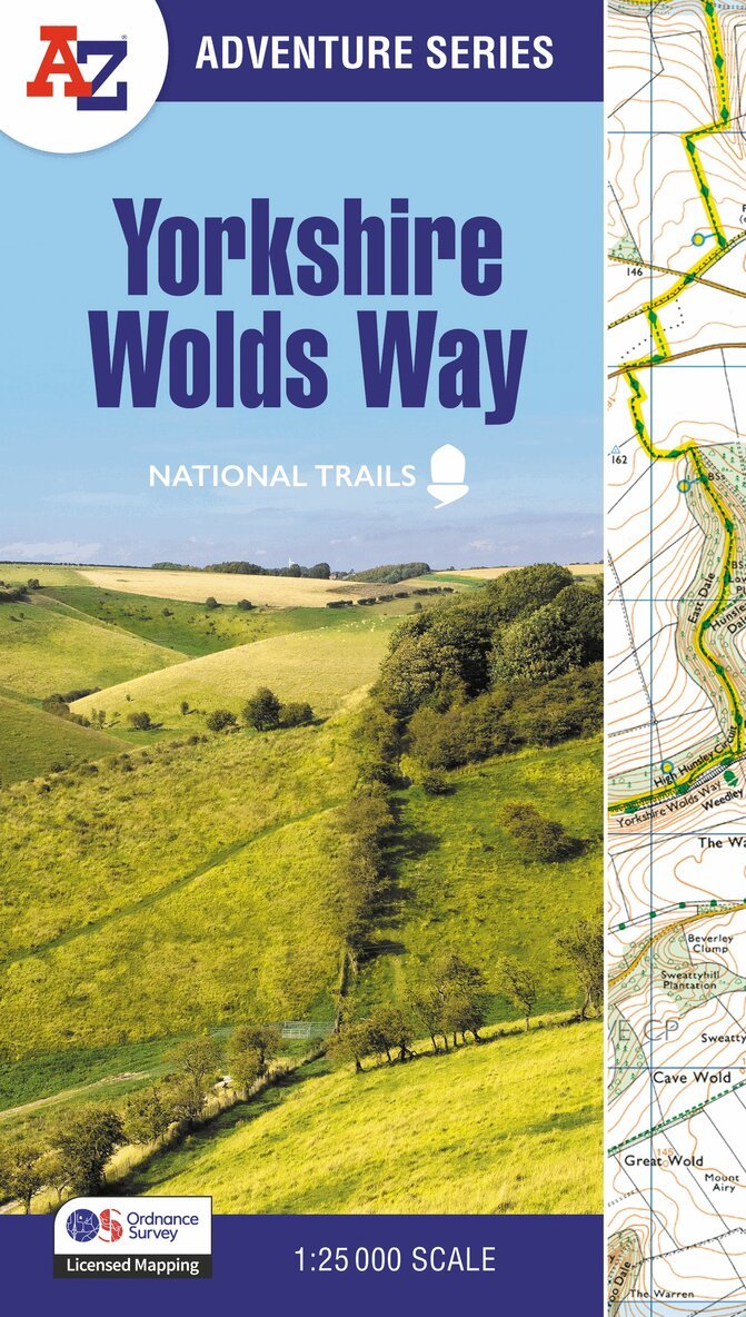
The A-Z Adventure Series uses Ordnance Survey mapping and is the perfect companion for walkers, off-road cyclists, and anyone wishing to explore the great outdoors.The Pembrokeshire Coast Path is a 186 mile (299 km) National Trail in south-west Wales. From Amroth in the south to St Dogmaels in the north and running mainly through the Pembrokeshire National Park, the route passes through some of the most scenic parts of Wales.This National Trail Map features detailed mapping at a scale of 1:25 000, providing complete coverage of the Pembrokeshire Coast Path. There is also a route planner included to show distances between places and the amenities available making it easy to plan your adventure. Additional features include: Information CentresHotels/B&BsYouth HostelsCampsites (seasonal opening)Public HousesShopsRestaurantsCafes (seasonal opening)Petrol StationsOther books available in the A-Z Adventure series include: Peak District (Dark Peak), Peddars Way and Norfolk Coast Path, South Downs Way, Cotswold Way, South West Coast Path and The North Coast 500.