Häftad, Engelska, 2026
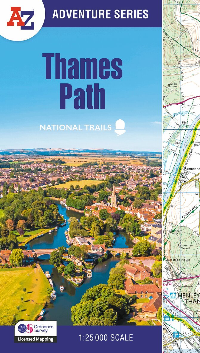
Thames Path
Av A-Z Maps
155 kr
Skickas onsdag 21/10. Fri frakt över 249 kr.
Beskrivning
The A-Z Adventure series features the accuracy and quality of Ordnance Survey's 1:25000 mapping in a convenient book, therefore eliminating the need to fold and re-fold a large sheet map to the desired area.OS 1:25 000 is Ordnance Survey's most detailed mapping, showing public rights of way, open access land, national parks, tourist information, car parks, public houses and camping and caravan sites.The Thames Path is a National Trail which covers 298km (185 miles) and follows the length of Englands longest river, the Thames, from its source in the Cotswolds to the Thames Barrier in Greenwich, London.This A-Z Adventure Atlas of the Thames Path features 61 pages of continuous Ordnance Survey mapping providing complete coverage of the Thames Path. Clearly highlighted in yellow, the route is easy to identify and shows both north and south bank alternatives. In addition mileage markers have been introduced to the map making it easy to gauge distances when planning your own sections of the walk to enjoy.A route planner is also included providing distances between places and the amenities available, featuring: Information CentresHotels/B&BsYouth HostelsCampsites (seasonal opening)Pubs, shops, restaurants, and cafes (seasonal opening)Also featured is advice on safety and security when walking and details of Tourist Information Centres.This A-Z Adventure Atlas has the accuracy and quality of OS 1:25000 mapping indexed within a book, making it the perfect companion for walkers, off-road cyclists, horse riders and anyone wishing to explore the great outdoors.Other National Trails available within the A-Z Adventure series: Coast to Coast, Cotswold Way, Pembrokeshire Coast Path, South Downs Way, and SW Coast Path.
Produktinformation
- Utgivningsdatum: 2026-02-12
- Mått: 134 x 240 x 8 mm
- Vikt: 130 g
- Format: Häftad
- Språk: Engelska
- Serie: -Z Adventure Series
- Antal sidor: 80
- Upplaga: 4
- Förlag: HarperCollins Publishers
- ISBN: 9780008780524
- Miljömärkning: Produced using independently certified paper to ensure responsible forestry management. (Certification is by FSC, PEFC or SFI.)
Utforska kategorier
Betyg & recensioner
0 recensioner
Inga recensioner tillgängliga.