
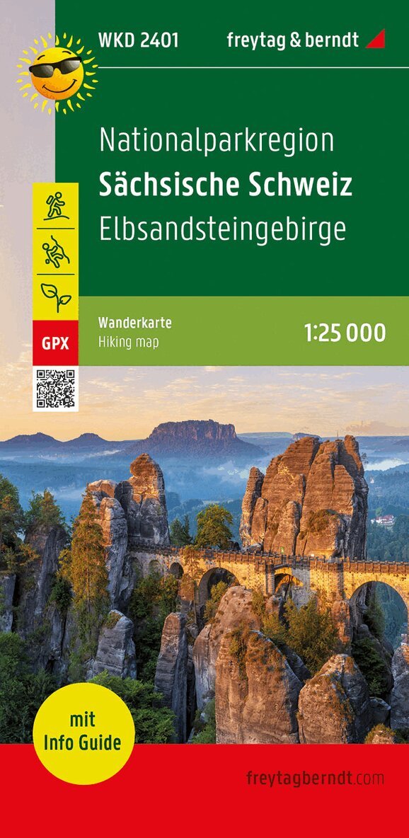
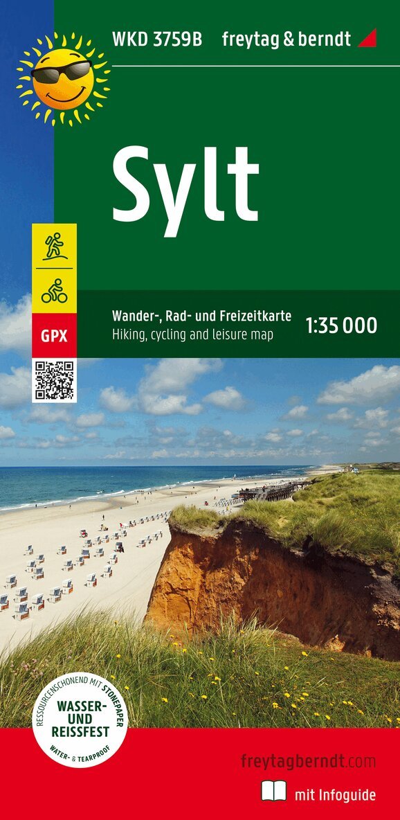
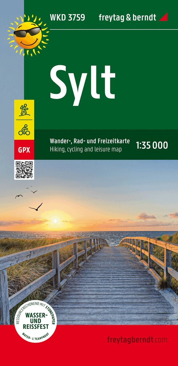
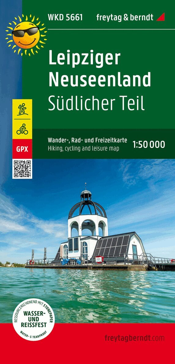
Del i serien freytag & berndt Wander-Rad-Freizeitkarten
164 kr
Beställningsvara. Skickas inom 3-6 vardagar. Fri frakt över 249 kr.
Beskrivning
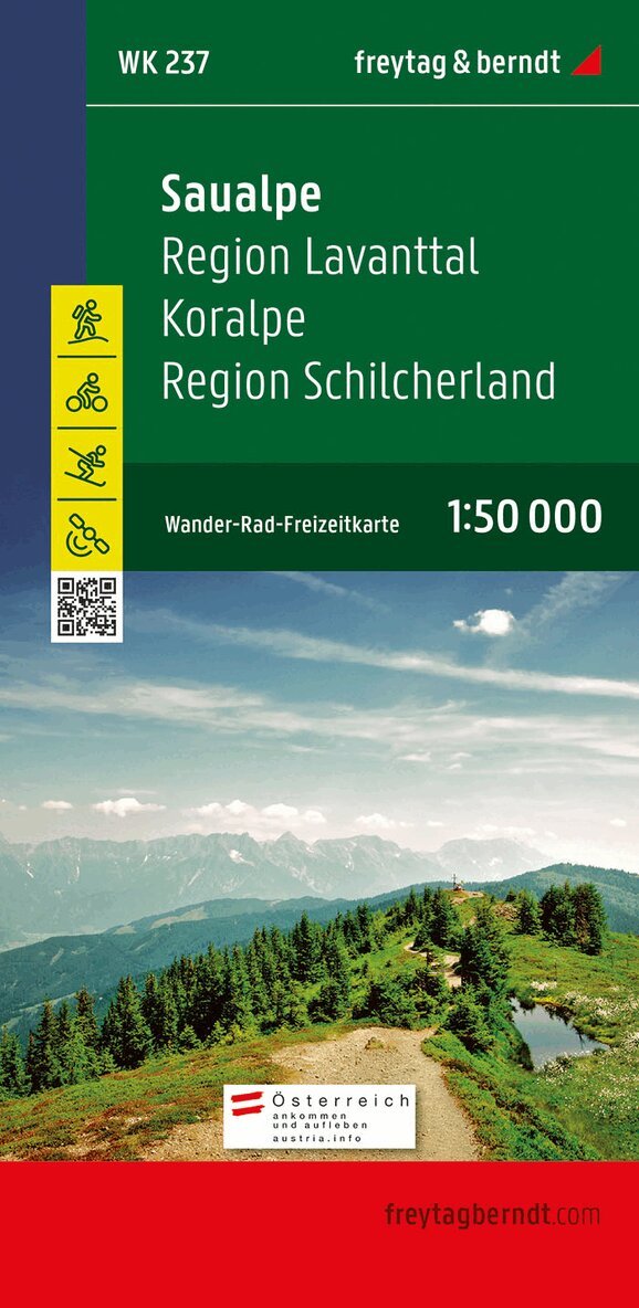
Thanks to the detailed digital cartography and the precise scales, freytag & berndt hiking maps are ideal companions for hiking, mountaineering and ski tours. They are regularly revised and contain updated information on hiking trails, cycling and mountain biking routes, huts, natural monuments, cultural sights and leisure facilities. The enclosed information booklet contains a selection of the best long-distance hiking and hiking trails, cycle paths and a brief description of the region and its leisure activities. (Language: German, Italian) Leisure information, hiking and long-distance hiking trails, mountain bike and cycling tours, register of places with postcodes, GPS-compatible, ski route, cross-country route; Region: Vinschgau, Ötztal Alps, Adige Valley, Tyrol, South Tyrol, Austria, Italy; Val Vensosta, Alpi Venoste, Trentino Alto Adige, Austria, Italy; Special themed hiking trails: Central Alpine Trail, Via Alpina, Ötztal Trek, archaeological hiking trails, Ortler; Special cycle and mountain bike tours: Adige cycle path, Via Claudia Augusta cycle path; Environment maps: WK S1, WK S511, WK 251, WK 254;
Produktinformation
Utforska kategorier

Hoppa över listan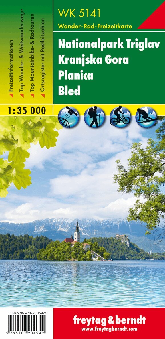
Mer från samma serie
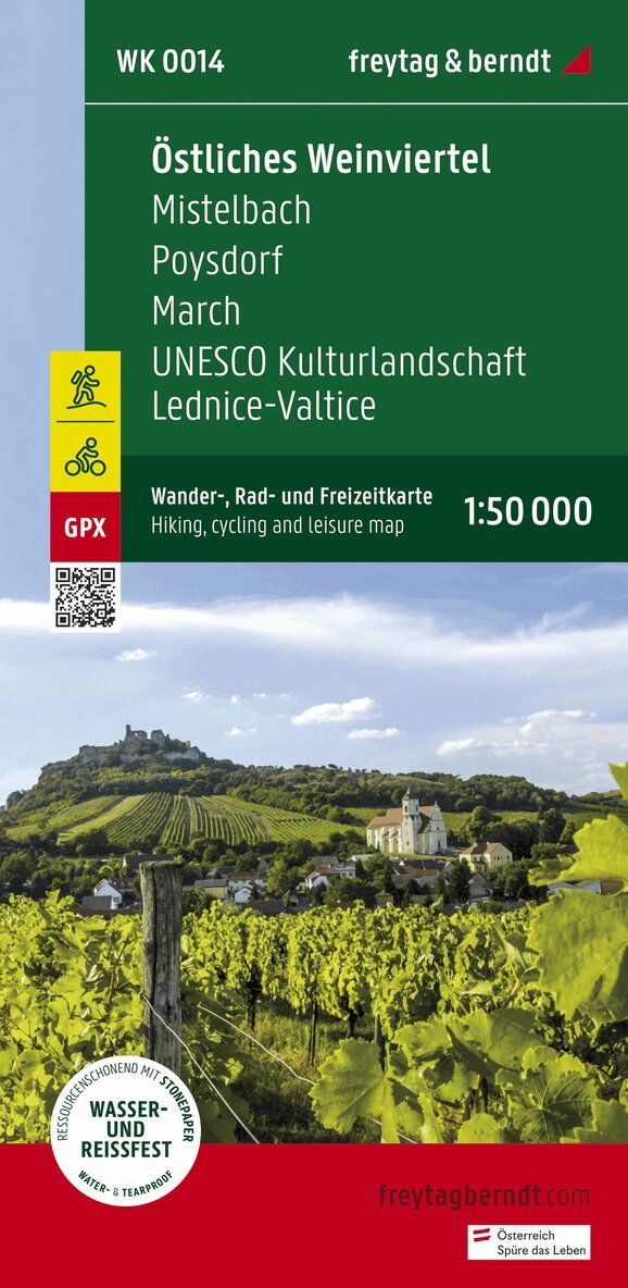
Eastern Weinviertel Hiking, Cycling and leisure map
Freytag-Berndt, Freytag-Berndt und Artaria KG
164 kr
Hoppa över listan

Du kanske också är intresserad av
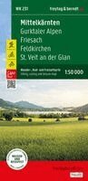
Mittelkärnten, Wander-, Rad- und Freizeitkarte 1:50.000, freytag & berndt, WK 231
Freytag & Berndt
164 kr
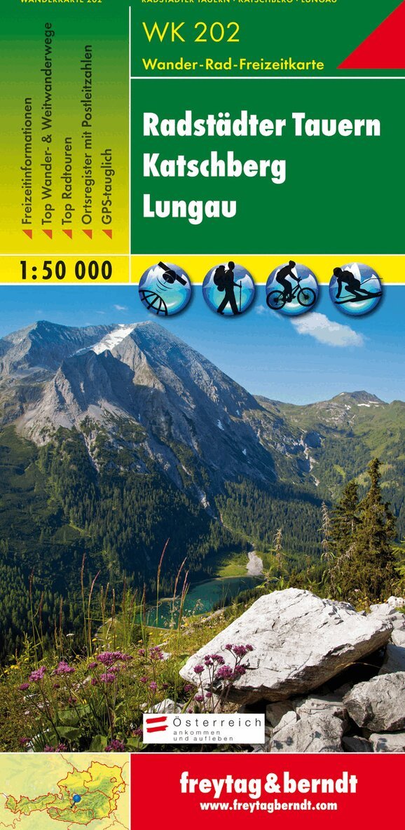
WK 202 Radstädter Tauern - Katschmountain - Lungau, Walking
Freytag-Berndt, Freytag-Berndt und Artaria KG
164 kr
- Nyhet