- Format
- Laminated cover
- Utgivningsdatum
- 2002-10-31
- Förlag
- Schofield & Sims Ltd
- Utgivningsland
- Storbritannien
- Dimensioner
- 770 x 530 x 60 mm
- Vikt
- ISBN
- 9780721709383
- 200 g
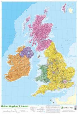
Map of UK and Ireland
Laminated cover,
2002-10-31
266
- Skickas från oss inom 2-5 vardagar.
- Fri frakt över 249 kr för privatkunder i Sverige.
Kundrecensioner
Du kanske gillar
-

Tordyveln flyger i skymningen
Maria Gripe
Kartonnage