• Fri frakt över 249 kr
  • •
  • Snabba leveranser
  • •
  • Billiga böcker
Kundservice

Du är på sajten för privatpersoner.

Företag, bibliotek eller offentlig verksamhet?

Du handlar på classic.bokus.com, där alla dina funktioner finns intakta.
Till classic.bokus.com
Bokus logotyp. Gå till startsidan.
  • Erbjudanden
  • Nyheter
  • Student
  • Topplistor
  • Barn & ungdom
  • Bokus Play
  • E-böcker
  • Pocketböcker
  • Spel & pussel

10% rabatt på allt med kod NYSTART10 →

Sidfot

Mina sidor

    Hjälp

    • Kundservice
    • Vanliga frågor och svar
    • Frakt och leverans
    • Retur vid ångerrätt
    • Reklamera vara
    • Betalning
    • Köpvillkor
    • Allmänna villkor
    • Information om webbplatsens tillgänglighet

    Om Bokus

    • Om oss
    • Pressrum
    • För studenter
    • För företag
    • För bibliotek och offentlig verksamhet
    • För leverantörer
    • Hållbarhet

    Populärt

    • Aktuella erbjudanden
    • Presentkort
    • Studentlitteratur
    • Nya böcker
    • Topplistor
    • Signerade böcker
    • Engelska böcker

    Inspiration

    • Boktips
    • BookTok
    • Populära bokserier
    • Barnbokskaraktärer
    • Populära författare
    Logotyp för Bokus
    Följ oss på Facebook (extern länk)Följ oss på Instagram (extern länk)Följ oss på YouTube (extern länk)Följ oss på TikTok (extern länk)
    bokus @ CookiesAnpassa cookiesIntegritetspolicyKöpvillkor
    Till Citymail hemsida (extern länk)Till Budbee hemsida (extern länk)Till Postnord hemsida (extern länk)Till Schenker hemsida (extern länk)Till Early Bird hemsida (extern länk)Till Walleys hemsida (extern länk)
    1. Naturvetenskap och teknik
    2. Geovetenskap
    3. Geovetenskap

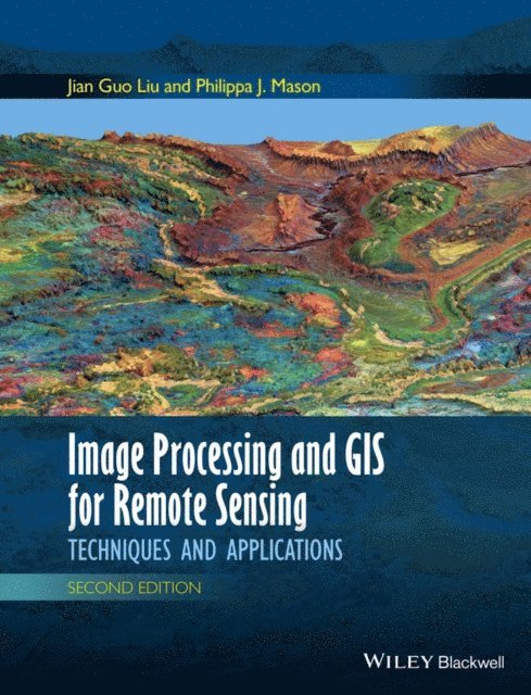
    Image Processing and GIS for Remote Sensing

    Techniques and Applications

    AvPhilippa J. Mason,Jian Guo Liu

    E-bok
    PDF, Engelska, 2016

    1 230 kr

    Läs direkt i Bokus Reader – eller ladda ned till din enhet (PDF kräver ofta zoom och scroll på små skärmar).

    Fler format och utgåvor

    E-bok

    1 234 kr

    Beskrivning

    Following the successful publication of the 1st edition in 2009, the 2nd edition maintains its aim to provide an application-driven package of essential techniques in image processing and GIS, together with case studies for demonstration and guidance in remote sensing applications. The book therefore has a “3 in 1” structure which pinpoints the intersection between these three individual disciplines and successfully draws them together in a balanced and comprehensive manner.

    The book conveys in-depth knowledge of image processing and GIS techniques in an accessible and comprehensive manner, with clear explanations and conceptual illustrations used throughout to enhance student learning. The understanding of key concepts is always emphasised with minimal assumption of prior mathematical experience.

    The book is heavily based on the authors’ own research. Many of the author-designed image processing techniques are popular around the world. For instance, the SFIM technique has long been adopted by ASTRIUM for mass-production of their standard “Pan-sharpen” imagery data. The new edition also includes a completely new chapter on subpixel technology and new case studies, based on their recent research.

    Produktinformation

    • Utgivningsdatum:2016-01-04
    • Språk:Engelska
    • Filformat:PDF
    • Kopieringsskydd:LCP
    • ISBN:9781118724187
    • Förlag:Wiley

    Utforska kategorier

    • Geovetenskap inom Naturvetenskap och teknik
    • Geografi inom Naturvetenskap och teknik