• Fri frakt över 249 kr
  • •
  • Snabba leveranser
  • •
  • Billiga böcker
Kundservice

Du är på sajten för privatpersoner.

Företag, bibliotek eller offentlig verksamhet?

Du handlar på classic.bokus.com, där alla dina funktioner finns intakta.
Till classic.bokus.com
Bokus logotyp. Gå till startsidan.
  • Erbjudanden
  • Student
  • Topplistor
  • Barn & ungdom
  • Bokus Play
  • E-böcker
  • Ljudböcker
  • Pocketböcker
  • Spel och pussel

5% studentrabatt – använd koden KURSBOK27 →

Sidfot

Mina sidor

    Hjälp

    • Kundservice
    • Vanliga frågor och svar
    • Frakt och leverans
    • Retur vid ångerrätt
    • Reklamera vara
    • Betalning
    • Köpvillkor
    • Allmänna villkor
    • Information om webbplatsens tillgänglighet

    Om Bokus

    • Om oss
    • Pressrum
    • För studenter
    • För företag
    • För bibliotek och offentlig verksamhet
    • För leverantörer
    • Hållbarhet

    Populärt

    • Aktuella erbjudanden
    • Presentkort
    • Studentlitteratur
    • Nya böcker
    • Topplistor
    • Signerade böcker
    • Engelska böcker

    Inspiration

    • Boktips
    • BookTok
    • Barnbokskaraktärer
    • Populära författare
    Logotyp för Bokus
    Följ oss på Facebook (extern länk)Följ oss på Instagram (extern länk)Följ oss på YouTube (extern länk)Följ oss på TikTok (extern länk)
    bokus @ CookiesAnpassa cookiesIntegritetspolicyKöpvillkor
    Till Citymail hemsida (extern länk)Till Budbee hemsida (extern länk)Till Postnord hemsida (extern länk)Till Schenker hemsida (extern länk)Till Early Bird hemsida (extern länk)Till Walleys hemsida (extern länk)
    1. Data och IT
    2. Systemvetenskap och AI

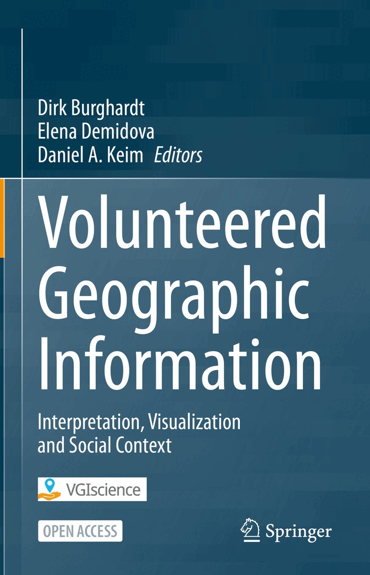
    Volunteered Geographic Information

    Interpretation, Visualization and Social Context

    AvDirk Burghardt,Elena Demidova

    Inbunden, Engelska, 2023

    543 kr

    Beställningsvara. Skickas inom 10-15 vardagar. Fri frakt över 249 kr.

    Beskrivning

    This open access book includes methods for retrieval, semantic representation, and analysis of Volunteered Geographic Information (VGI), geovisualization and user interactions related to VGI, and discusses selected topics in active participation, social context, and privacy awareness. It presents the results of the DFG-funded priority program "VGI: Interpretation, Visualization, and Social Computing" (2016-2023).The book includes three parts representing the principal research pillars within the program. Part I "Representation and Analysis of VGI" discusses recent approaches to enhance the representation and analysis of VGI. It includes semantic representation of VGI data in knowledge graphs; machine-learning approaches to VGI mining, completion, and enrichment as well as to the improvement of data quality and fitness for purpose. Part II "Geovisualization and User Interactions related to VGI" book explores geovisualizations and user interactions supporting the analysis and presentation of VGI data. When designing these visualizations and user interactions, the specific properties of VGI data, the knowledge and abilities of different target users, and technical viability of solutions need to be considered. Part III "Active Participation, Social Context and Privacy Awareness" of the book addresses the human impact associated with VGI. It includes chapters on the use of wearable sensors worn by volunteers to record their exposure to environmental stressors on their daily journeys, on the collective behavior of people using location-based social media and movement data from football matches, and on the motivation of volunteers who provide important support in information gathering, filtering and analysis of social media in disaster situations.The book is of interest to researchers and advanced professionals in geoinformation, cartography, visual analytics, data science and machine learning.

    Produktinformation

    • Utgivningsdatum:2023-12-09
    • Mått:155 x 235 x 23 mm
    • Vikt:629 g
    • Format:Inbunden
    • Språk:Engelska
    • Antal sidor:297
    • Förlag:Springer International Publishing AG
    • ISBN:9783031353734

    Utforska kategorier

    • Systemvetenskap och AI inom Data och IT
    • Databaser inom Data och IT
    • Tillämpad datateknik inom Data och IT

    Mer om författaren

    Dirk Burghardt is Professor of Cartographic Communication at the Institute of Cartography, TU Dresden, Germany, and Vice-President of the German Society of Cartography. He is the coordinator and speaker of the VGIscience priority program funded by the German Research Foundation (2016-2023). His main research interests include geovisual analytics and cartographic communication, automated generalisation and map production, geographic information retrieval and multiscale representations with focus on location-based social media data.Elena Demidova is Professor of Computer Science and Head of the Data Science and Intelligent Systems Group (DSIS) at the University of Bonn, Germany. Previously, she worked as Research Group Leader at the L3S Research Center, Leibniz University of Hannover, Germany, and as Senior Researcher at the University of Southampton, UK. Her main research interests include data analytics, machine learning, the Web, and Semantic Web technologies.Daniel A. Keim is Full Professor and Head of the Information Visualization and Data Analysis Research Group in the Computer and Information Science Department of the University of Konstanz, Germany. He has been actively involved in data analysis and information visualization research for more than 25 years and developed a number of novel visual analysis techniques for large data sets. He is a recipient of IEEE VGTC 2011 Visualization Technical Achievement Award, and his work has been recognized through a variety of further awards including best paper and honorable mention awards at the ACM SIGMOD, ACM SIGKDD, and IEEE VAST conferences as well as several awards at the IEEE Visual Analytics Contest.

    Innehållsförteckning

    • Part I: Representation and Analysis of VGI.- 1. WorldKG: World-Scale Completion of Geographic Information.- 2. Analyzing and Improving the Quality and Fitness for Purpose of OpenStreetMap as Labels in Remote Sensing Applications.- 3. Efficient Mining of Volunteered Trajectory Data Sets.- 4. Uncertainty-Aware Enrichment of Animal Movement Trajectories by VGI.- 5. Two Worlds in One Network: Fusing Deep Learning and Random Forests for Classification and Object Detection.- Part II:  Geovisualization and User Interactions Related to VGI.- 6. Toward Visually Analyzing Dynamic Social Messages and News Articles Containing Geo-Referenced Information.- 7. Visually Reporting Geographic Data Insights as Integrated Visual and Textual Representations.- 8. Effects of Landmark Position and Design in VGI Based Maps on Visual Attention and Cognitive Processing.- 9. Addressing Landmark Uncertainty in VGI-based Maps: Approaches to Improve Orientation and Navigation Performance.- 10. Improvement ofTask-Oriented Visual Interpretation of VGI Point Data.- Part III: Active Participation, Social Context and Privacy Awareness.- 11. Environmental Tracking for Healthy Mobility.- 12. Extraction and Visually Driven Analysis of VGI for Understanding People’s Behavior in Relation to Multi-Faceted Context.- 13. Digital Volunteers in Disaster Management.- 14. Protecting Privacy in Volunteered Geographic Information Processing.