

Tomography of the Earth’s Crust: From Geophysical Sounding to Real-Time Monitoring
GEOTECHNOLOGIEN Science Report No. 21
1 450 kr
Tillfälligt slut
Beskrivning
The research work on the topic of ‘‘Tomography of the Earth’s Crust: From Geophysical Sounding to Real-Time Monitoring’’ has focused on the development of cross-scale multiparameter methods and their technological application together with the development of innovative field techniques. Seismic wave field inversion theory, diffusion and potential methods were developed and optimized with respect to cost and benefit aspects.This volume summarizes the scientific results of nine interdisciplinary joint projects funded by the German Federal Ministry of Education and Research in the framework of the Research and Development Program GEOTECHNOLOGIEN.Highlights and innovations presented cover many length scales and involve targets ranging from applications in the laboratory, to ground water surveys of heterogeneous aquifer, geotechnical applications like tunnel excavation, coal mine and CO2 monitoring and the imaging and monitoring of tectonic and societally relevant objects as active faults and volcanoes.To study these objects, the authors use the full spectrum of geophysical methods (ultrasonics, seismic and seismology, electromagnetics, gravity, and airborne) in combination with new methods like seismic interferometry, diffuse wave field theory and full-wave-form inversion in 3D and partially also in 4D.Geophysical Sounding to Real-Time Monitoring’’ has focused on the development of cross-scale multiparameter methods and their technological application together with the development of innovative field techniques. Seismic wave field inversion theory, diffusion and potential methods were developed and optimized with respect to cost and benefit aspects.This volume summarizes the scientific results of nine interdisciplinary joint projects funded by the German FederalMinistry of Education and Research in the framework of the Research and Development Program GEOTECHNOLOGIEN.Highlights and innovations presented cover many length scales and involve targets ranging from applications in the laboratory, to ground water surveys of heterogeneous aquifer, geotechnical applications like tunnel excavation, coal mine and CO2 monitoring and the imaging and monitoring of tectonic and societally relevant objects as active faults and volcanoes.To study these objects, the authors use the full spectrum of geophysical methods (ultrasonics, seismic and seismology, electromagnetics, gravity, and airborne) in combination with new methods like seismic interferometry, diffuse wave field theory and full-wave-form inversion in 3D and partially also in 4D.2 monitoring and the imaging and monitoring of tectonic and societally relevant objects as active faults and volcanoes.To study these objects, the authors use the full spectrum of geophysical methods (ultrasonics, seismic and seismology, electromagnetics, gravity, and airborne) in combination with new methods like seismic interferometry, diffuse wave field theory and full-wave-form inversion in 3D and partially also in 4D.
Produktinformation
Utforska kategorier
Innehållsförteckning
Hoppa över listan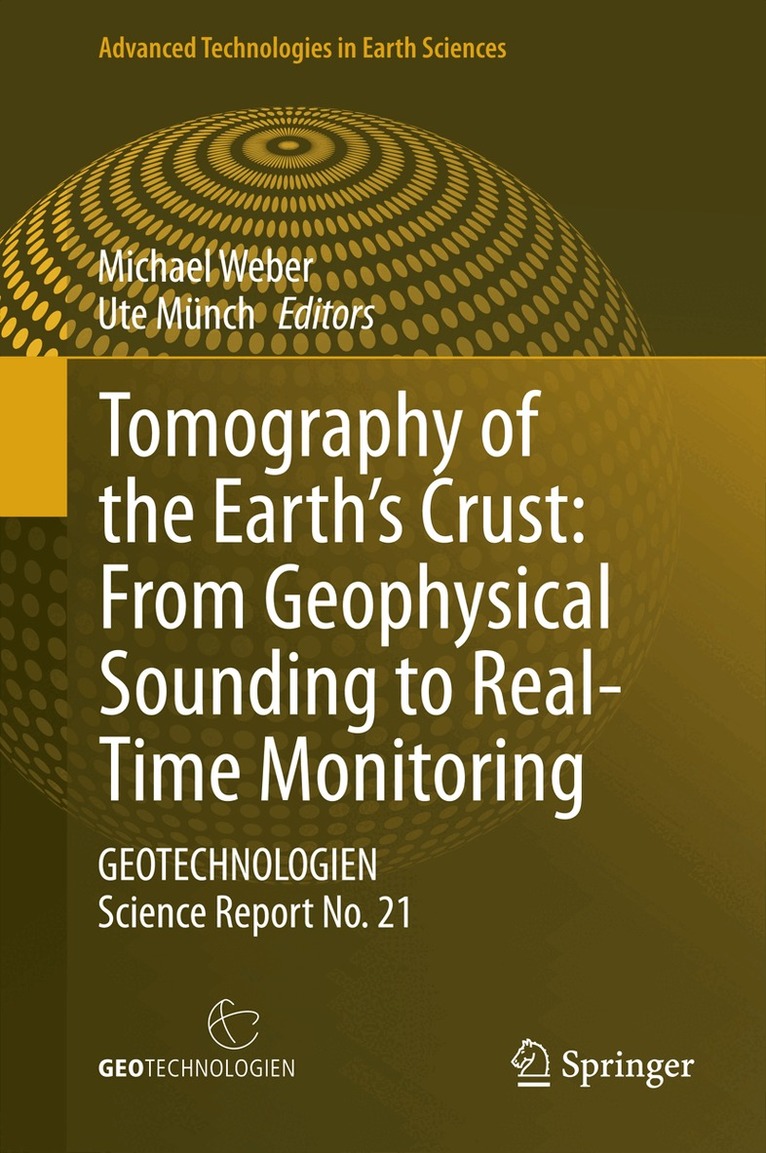
Du kanske också är intresserad av
Tomography of the Earth’s Crust: From Geophysical Sounding to Real-Time Monitoring
Michael Weber, Ute Münch
Inbunden, 2014
1 102 kr
Tomography of the Earth's Crust: From Geophysical Sounding to Real-Time Monitoring
Ute Munch, Michael Weber
E-bok
20141 427 kr
Geological Storage of CO2 – Long Term Security Aspects
Axel Liebscher, Ute Münch
Inbunden, 2015
1 102 kr
- Signerad!
Del 3