Nicholson Waterways Guides – serie
Visar alla böcker i serien Nicholson Waterways Guides. Handla med fri frakt och snabb leverans.
7 produkter
7 produkter
Grand Union, Oxford and the South East (1)
For Everyone with an Interest in Britain’s Canals and Rivers
Häftad, Engelska, 2024, 12-15 år
206 kr
Tillfälligt slut
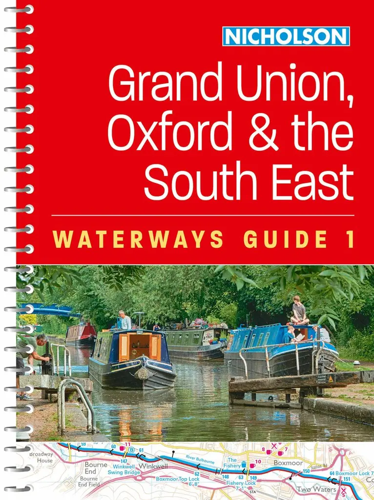
The bestselling guides to Britain’s canals and rivers for more than 50 years.For all users of Britain’s inland waterways. This established, popular and practical guide covers the canals and waterways between London and Birmingham.Waterways covered in this guide – Chelmer & Blackwater Navigation, Grand Union Canal, Lee & Stort Navigations, River Medway, Oxford Canal, River Thames.Guide includes;• Detailed Collins mapping at a scale of 2 inches = 1 mile, 3 cm = 1 km.• Descriptive text and accompanying images• Comprehensive navigational notes• Information about points of interest along the waterways, e.g. local landmarks, pubs, water points, etc.Published for more than 50 years, the best-selling Collins Nicholson guides to the waterways have always been a vital part of journeys along Britain’s canals and rivers. They are designed for anyone and everyone with an interest in Britain’s inland waterways – from experienced boaters to those planning their first boat trip, as well as walkers, cyclists, and paddlers. This practical A5 guide features 'lie flat' spiral binding and 'book mark' back cover flap for ease of reference.Comprehensive navigational notes include:• Maximum dimensions and low bridges• Mileages, advice and potential hazards• Navigation authorities and contact details
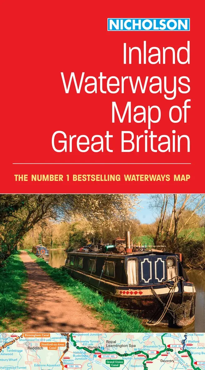
Nicholson Inland Waterways Map of Great Britain
For Everyone with an Interest in Britain’s Canals and Rivers
Engelska, 2024, 12-15 år
117 kr
Tillfälligt slut
The best-selling guides to Britain’s canals and rivers for more than 50 years.The map companion to the Collins Nicholson Waterways Guides, covering the entire network of canal and river navigations in England, Scotland and Wales, including newly restored/opened canals and rivers.The map identifies:• narrow and broad canals• navigable rivers• tidal river navigations• waterways under constructionAlso:• contact telephone numbers and dimensions for each waterway• internet linksClear insets of the Birmingham Canal Navigations, Scottish inland waterways, the Norfolk Broads and the London area.
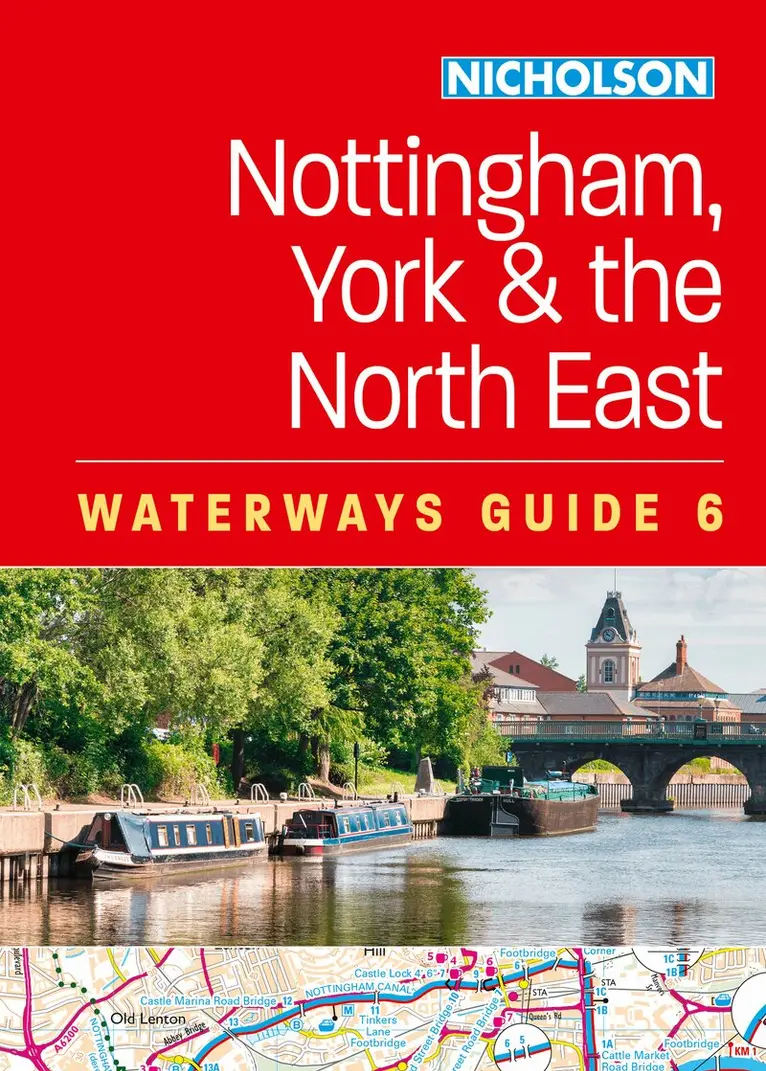
Nottingham, York and the North East (6)
For Everyone with an Interest in Britain’s Canals and Rivers
Häftad, Engelska, 2025
206 kr
Tillfälligt slut
The bestselling guides to Britain’s canals and rivers for 50 years.For all users of the inland waterways including boaters, walkers, cyclists and visitors, this established, popular and practical guide covers the canals and waterways between York and the River Trent south of Nottingham.Covered in this guide are: Aire & Calder Navigation; Chesterfield Canal; River Derwent and the Pocklington Canal; Fossdyke & Witham Navigations; Grantham Canal; River Ouse, River Ure and Ripon Canal; Selby Canal; South Yorkshire Navigations; and River Trent.The detailed up-to-date maps clearly show the location of essential features such as locks, towpaths and boating facilities, as well as pubs, shops and restaurants in the area. There are comprehensive navigational notes and descriptive text on the history of each canal, and on local services and places of interest, for which postcodes are included – ideal for use with sat-navs. Scale: 2 inches = 1 mile, 3 cm = 1 km.This practical A5 guide features 'lie flat' spiral binding and 'book mark' back cover flap for ease of reference.
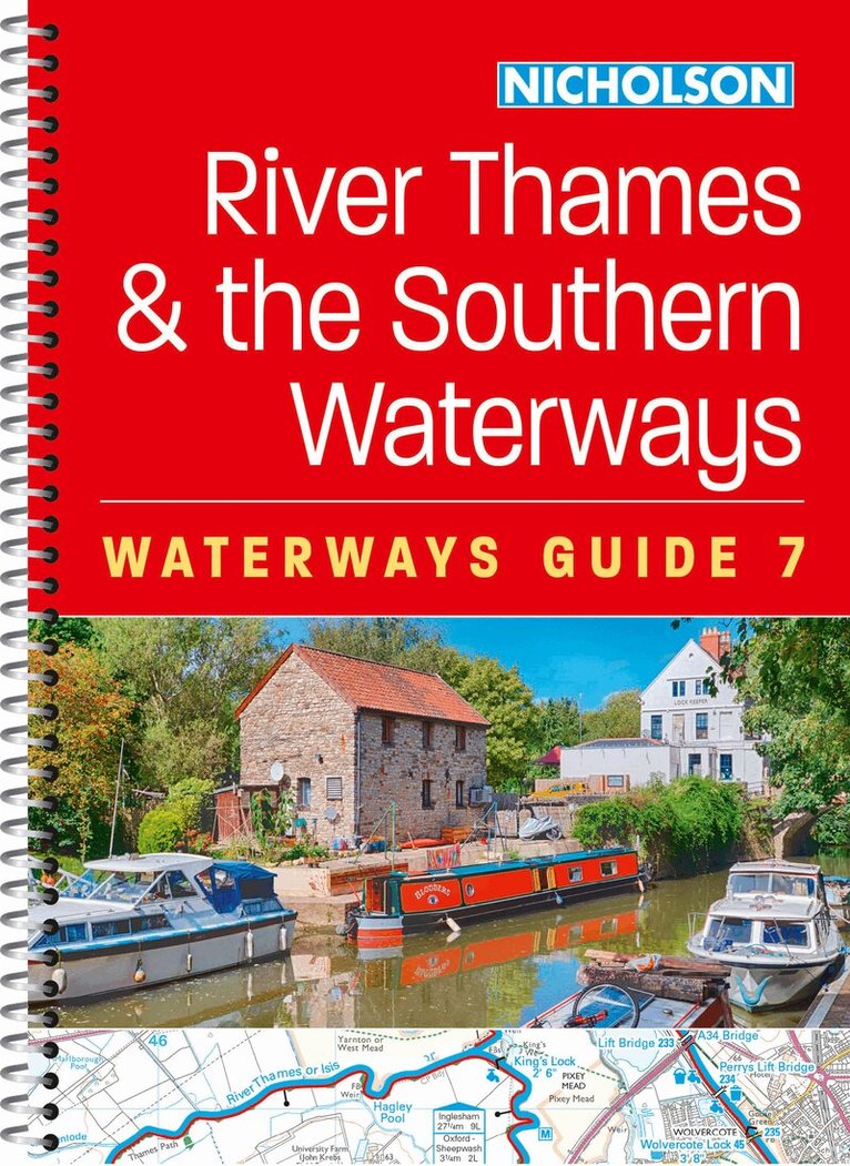
River Thames and the Southern Waterways (7)
For Everyone with an Interest in Britain’s Canals and Rivers
Häftad, Engelska, 2025
206 kr
Tillfälligt slut
The bestselling guides to Britain’s canals and rivers for 50 years.For all users of the inland waterways including boaters, walkers, cyclists and visitors, this established, popular and practical guide covers the canals and waterways between Exeter and the River Thames.Waterways covered in this guide – Basingstoke Canal, Bridgwater & Taunton Canal, Grand Western Canal, Exeter Ship Canal, Kennet & Avon Canal, River Thames, Wey & Godalming Navigations.The up-to-date, detailed maps clearly show the location of essential features such as locks, towpaths and boating facilities, as well as pubs, shops and restaurants in the area. There are comprehensive navigational notes and descriptive text on the history of each canal, and on local services and places of interest, for which postcodes are included – ideal for use with sat-navs. Scale: 2 inches = 1 mile, 3 cm = 1 km.This practical A5 guide features 'lie flat' spiral binding and 'book mark' back cover flap for ease of reference.
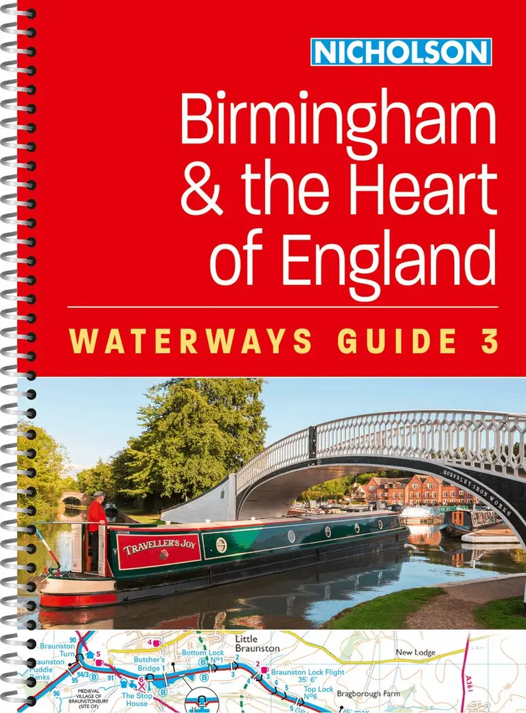
Birmingham and the Heart of England (3)
For Everyone with an Interest in Britain’s Canals and Rivers
Häftad, Engelska, 2026
206 kr
Tillfälligt slut
Explore Britain's canals and rivers with the Nicholson bestselling guides. For all users of the inland waterways. This established, popular and practical guide covers the canals and waterways around Birmingham and central England.Covered in this guide are: Ashby Canal; Birmingham Canal Navigations (Main Line); Birmingham & Fazeley Canal; Coventry Canal; Erewash Canal; Grand Union Canal (Main Line, Leicester Section and the River Soar); Oxford Canal, North; Staffordshire & Worcestershire Canal, North; Stratford-on-Avon Canal, North; Worcester & Birmingham Canal, North; and the Trent & Mersey Canal.The up-to-date detailed maps clearly show the location of essential features such as locks, towpaths and boating facilities, as well as pubs, shops and restaurants in the area. There are comprehensive navigational notes and descriptive text on the history of each canal, and on local services and places of interest, for which postcodes are included – ideal for use with sat-navs. Scale: 2 inches = 1 mile, 3 cm = 1 km.This practical A5 guide features 'lie flat' spiral binding and 'book mark' back cover flap for ease of reference.In print for more than 50 years, the Nicholson guides to the waterways have always been a vital part of journeys along Britain’s canals and rivers. These bestselling guides are designed for anyone and everyone with an interest in Britain’s inland waterways – from experienced boaters to those planning their first boat trip, as well as walkers, cyclists and visitors.
Severn, Avon and Birmingham (2)
For Everyone with an Interest in Britain’s Canals and Rivers
Häftad, Engelska, 2026
206 kr
Tillfälligt slut
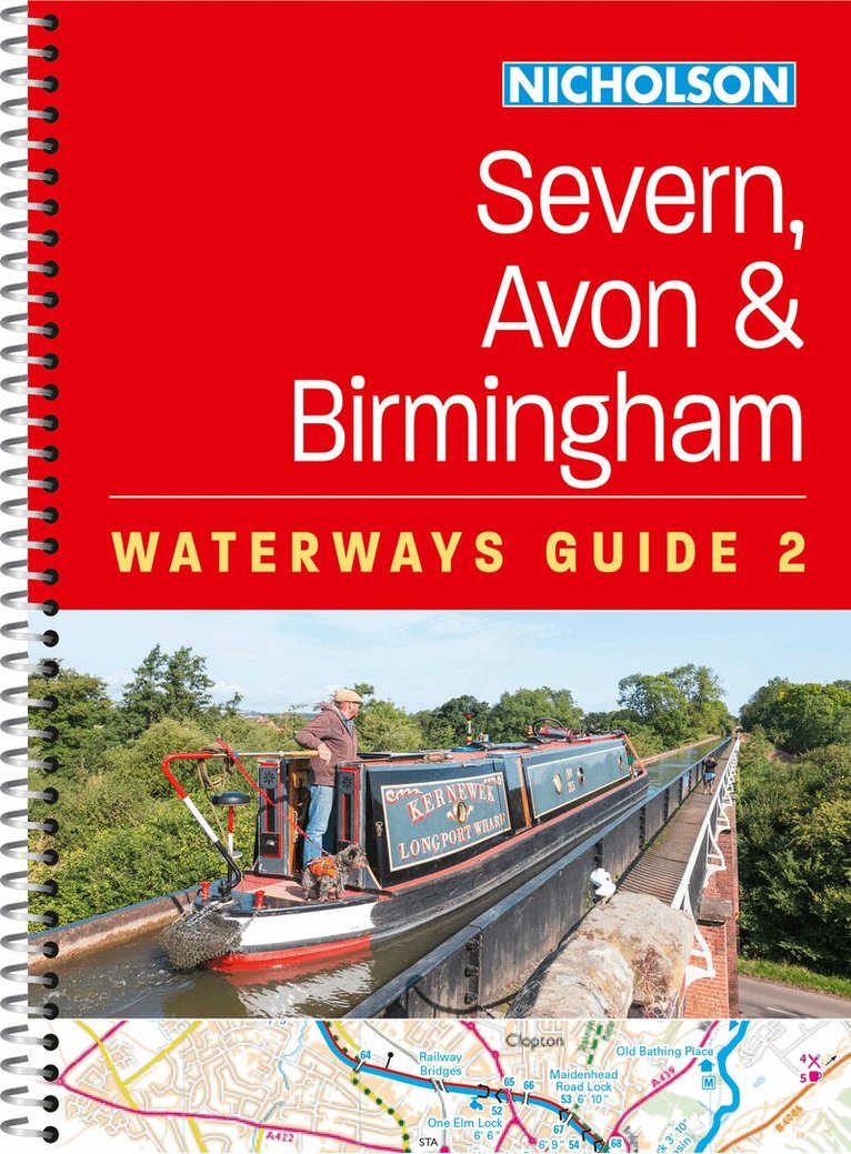
Explore Britain's canals and rivers with the Nicholson bestselling guides. For all users of the inland waterways. This established, popular and practical guide covers the canals and waterways around Birmingham and the River Severn.Covered in this guide are the River Avon; Birmingham Canal Navigations (Main Line); Droitwich Canals; Gloucester & Sharpness Canal and the River Severn; Staffordshire & Worcestershire Canal; Stourbridge and Dudley Canals; Stratford-on-Avon Canal; Stroudwater Navigation and Thames & Severn Canal; and the Worcester & Birmingham Canal.The up-to-date detailed maps clearly show the location of essential features such as locks, towpaths and boating facilities, as well as pubs, shops and restaurants in the area. There are comprehensive navigational notes and descriptive text on the history of each canal, and on local services and places of interest, for which postcodes are included – ideal for use with sat-navs. Scale: 2 inches = 1 mile, 3 cm = 1 km.This practical A5 guide features 'lie flat' spiral binding and 'book mark' back cover flap for ease of reference.In print for more than 50 years, the Nicholson guides to the waterways have always been a vital part of journeys along Britain’s canals and rivers. These bestselling guides are designed for anyone and everyone with an interest in Britain’s inland waterways – from experienced boaters to those planning their first boat trip, as well as walkers, cyclists and visitors.
Norfolk Broads (8)
For Everyone with an Interest in Britain’s Canals and Rivers
Häftad, Engelska, 2025
128 kr
Tillfälligt slut
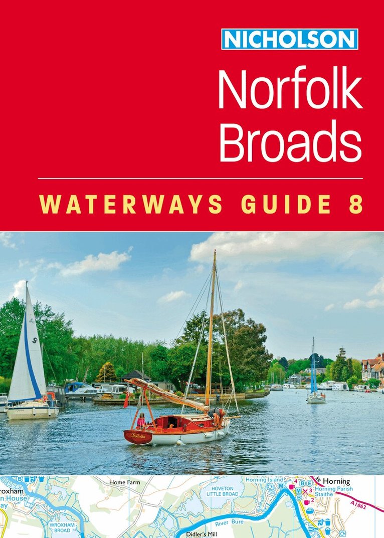
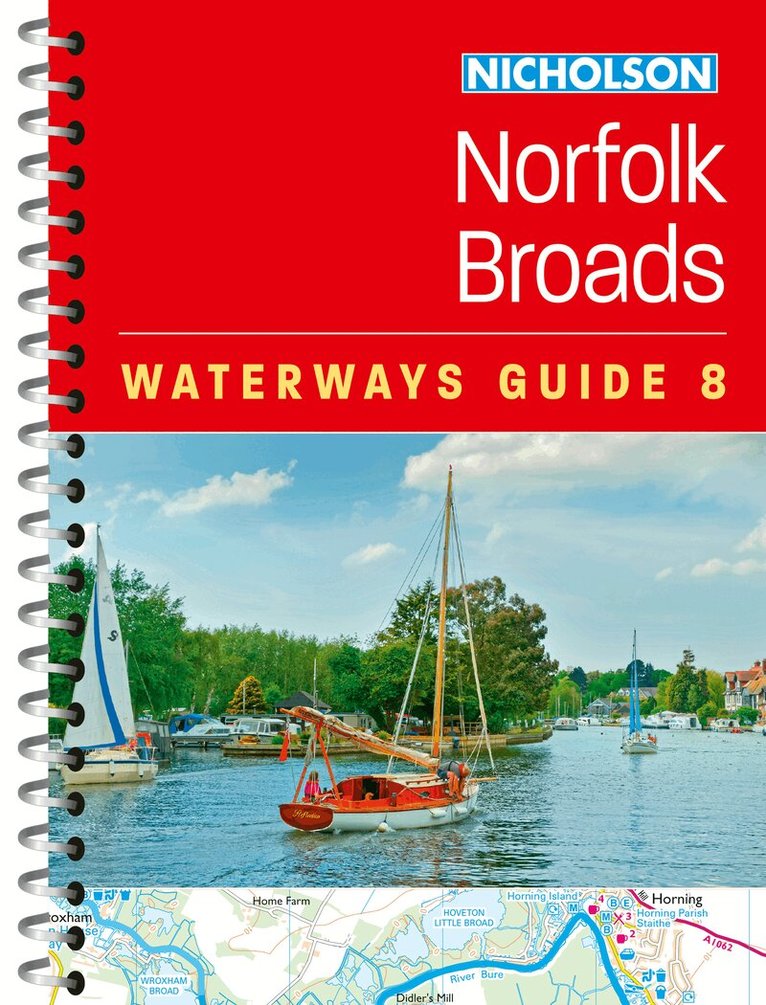
Explore Britain's canals and rivers with the Nicholson bestselling guides. For all users of the inland waterways. This popular and practical guide covers the waterways of the Broads National Park, including the Norfolk and Suffolk Broads and the Rivers Ant, Bure, Thurne, Wensum, Yare, Chet and Waveney.The up-to-date detailed maps clearly show the location of essential features such as boating facilities, as well as pubs, shops and restaurants in the area. There are comprehensive navigational notes and descriptive text on the history of The Broads, and on local services and places of interest, for which postcodes are included – ideal for use with sat-navs. Scale: 2 inches = 1 mile, 3 cm = 1 km.This practical A5 guide features 'lie flat' spiral binding and 'book mark' back cover flap for ease of reference.The Broads are one of Britain's best-known holiday boating areas. They make up Britain's largest and most important protected wetland and are a national park providing a home to some of the rarest plants and animals in the country. A unique and enchanting wetland, with over 125 miles of lock-free navigable tidal waters, all waiting to be explored.