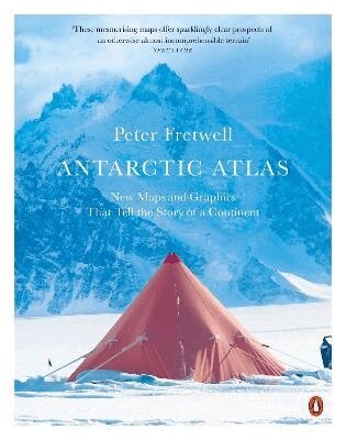
Häftad, Engelska, 2026
Antarctic Atlas
New Maps and Graphics That Tell the Story of A Continent
186 kr
Skickas torsdag 19/11. Fri frakt över 249 kr.
Beskrivning
Produktinformation
- Utgivningsdatum: 2026-09-03
- Mått: 189 x 246 x 15 mm
- Vikt: 582 g
- Format: Häftad
- Språk: Engelska
- Antal sidor: 208
- Förlag: Penguin Books Ltd
- ISBN: 9780141985473
Utforska kategorier
Mer om författaren
Peter Fretwell is an award-winning cartographer and leading scientist at the British Antarctic Survey. He pioneered the use of satellite imagery to find and monitor polar wildlife, a project that has led to him discovering almost half of the world's emperor penguin colonies. He is a fellow of the Royal Geographical Society and has completed four field seasons in Antarctica. He lives near Cambridge with his wife and family.
Recensioner i media
These mesmerising maps offer sparklingly clear prospects of an otherwise almost incomprehensible terrain—The SpectatorTells the story of Antarctica in maps and shows the continent in ways never seen before—Cambridge IndependentA cartographer and scientist with the British Antarctic Survey, Fretwell has created 70 new maps each revealing different aspects of the icy continent. We learn the locations of the "pole of ignorance", the world's driest place, and the largest penguin colonies, but also about the human history and politics of the region and - alarmingly - what Antarctica might look like once all the ice is gone.—Financial TimesShows Antarctica in wonderful detail ... Peter Fretwell tells the tale of Antarctica through a collection of carefully constructed maps setting out the continent's geology, people and nature—Gege Li, New ScientistA collection of maps and data from a leading cartographer seen in a new and fresh way ... really informative—Sandra Pereira, Portugal News
Betyg & recensioner
0 recensioner
Inga recensioner tillgängliga.