• Fri frakt över 249 kr
  • •
  • Snabba leveranser
  • •
  • Billiga böcker
Kundservice

Du är på sajten för privatpersoner.

Företag, bibliotek eller offentlig verksamhet?

Du handlar på classic.bokus.com, där alla dina funktioner finns intakta.
Till classic.bokus.com
Bokus logotyp. Gå till startsidan.
  • Erbjudanden
  • Nyheter
  • Student
  • Topplistor
  • Barn & ungdom
  • Bokus Play
  • E-böcker
  • Pocketböcker
  • Spel & pussel

10% studentrabatt med kod TERM26

Sidfot

Mina sidor

    Hjälp

    • Kundservice
    • Vanliga frågor och svar
    • Frakt och leverans
    • Retur vid ångerrätt
    • Reklamera vara
    • Betalning
    • Köpvillkor
    • Allmänna villkor
    • Information om webbplatsens tillgänglighet

    Om Bokus

    • Om oss
    • Pressrum
    • För studenter
    • För företag
    • För bibliotek och offentlig verksamhet
    • För leverantörer
    • Hållbarhet

    Populärt

    • Aktuella erbjudanden
    • Presentkort
    • Studentlitteratur
    • Nya böcker
    • Topplistor
    • Signerade böcker
    • Engelska böcker

    Inspiration

    • Boktips
    • BookTok
    • Populära bokserier
    • Barnbokskaraktärer
    • Populära författare
    Logotyp för Bokus
    Följ oss på Facebook (extern länk)Följ oss på Instagram (extern länk)Följ oss på YouTube (extern länk)Följ oss på TikTok (extern länk)
    bokus @ CookiesAnpassa cookiesIntegritetspolicyKöpvillkor
    Till Citymail hemsida (extern länk)Till Budbee hemsida (extern länk)Till Postnord hemsida (extern länk)Till Schenker hemsida (extern länk)Till Early Bird hemsida (extern länk)Till Walleys hemsida (extern länk)
    1. Historia och arkeologi
    2. Historia
    3. Europas historia

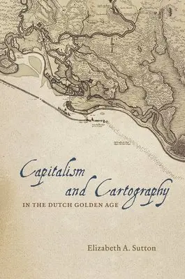
    Capitalism and Cartography in the Dutch Golden Age

    AvElizabeth A. Sutton

    Inbunden, Engelska, 2015

    461 kr

    Beställningsvara. Skickas inom 5-8 vardagar. Fri frakt över 249 kr.

    Fler format och utgåvor

    E-bok

    1 020 kr

    Beskrivning

    In Capitalism and Cartography in the Dutch Golden Age, Elizabeth A. Sutton explores the fascinating but previously neglected history of corporate cartography during the Dutch Golden Age, from ca. 1600 to 1650. She examines how maps were used as propaganda tools for the Dutch West India Company in order to encourage the commodification of land and an overall capitalist agenda. Building her exploration around the central figure of Claes Jansz Vischer, an Amsterdam-based publisher closely tied to the Dutch West India Company, Sutton shows how printed maps of Dutch Atlantic territories helped rationalize the Dutch Republic's global expansion. Maps of land reclamation projects in the Netherlands, as well as the Dutch territories of New Netherland (now New York) and New Holland (Dutch Brazil), reveal how print media were used both to increase investment and to project a common narrative of national unity. Maps of this era showed those boundaries, commodities, and topographical details that publishers-state-sponsored corporate bodies-and the Dutch West India Company merchants and governing Dutch elite deemed significant to their agenda.In the process, Sutton argues, they perpetuated and promoted modern state capitalism.

    Produktinformation

    • Utgivningsdatum:2015-06-05
    • Mått:16 x 24 x 2 mm
    • Vikt:397 g
    • Format:Inbunden
    • Språk:Engelska
    • Antal sidor:208
    • Förlag:The University of Chicago Press
    • ISBN:9780226254784

    Utforska kategorier

    • Europas historia inom Historia och arkeologi
    • Historisk geografi inom Historia och arkeologi

    Mer om författaren

    Elizabeth A. Sutton is assistant professor of art history at the University of Northern Iowa.