E-bok, Engelska, 2015
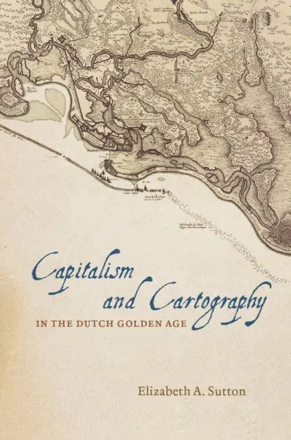
Capitalism and Cartography in the Dutch Golden Age
1031 kr
Läs direkt i Bokus Reader – eller ladda ned till din enhet
Beskrivning
In Capitalism and Cartography in the Dutch Golden Age, Elizabeth A. Sutton explores the fascinating but previously neglected history of corporate cartography during the Dutch Golden Age, from ca. 1600 to 1650. She examines how maps were used as propaganda tools for the Dutch West India Company in order to encourage the commodification of land and an overall capitalist agenda.
Building her exploration around the central figure of Claes Jansz Vischer, an Amsterdam-based publisher closely tied to the Dutch West India Company, Sutton shows how printed maps of Dutch Atlantic territories helped rationalize the Dutch Republic’s global expansion. Maps of land reclamation projects in the Netherlands, as well as the Dutch territories of New Netherland (now New York) and New Holland (Dutch Brazil), reveal how print media were used both to increase investment and to project a common narrative of national unity. Maps of this era showed those boundaries, commodities, and topographical details that publishers and the Dutch West India Company merchants and governing Dutch elite deemed significant to their agenda. In the process, Sutton argues, they perpetuated and promoted modern state capitalism.
Building her exploration around the central figure of Claes Jansz Vischer, an Amsterdam-based publisher closely tied to the Dutch West India Company, Sutton shows how printed maps of Dutch Atlantic territories helped rationalize the Dutch Republic’s global expansion. Maps of land reclamation projects in the Netherlands, as well as the Dutch territories of New Netherland (now New York) and New Holland (Dutch Brazil), reveal how print media were used both to increase investment and to project a common narrative of national unity. Maps of this era showed those boundaries, commodities, and topographical details that publishers and the Dutch West India Company merchants and governing Dutch elite deemed significant to their agenda. In the process, Sutton argues, they perpetuated and promoted modern state capitalism.
Produktinformation
- Utgivningsdatum: 2015-06-05
- Språk: Engelska
- Filformat: EPUB
- Kopieringsskydd: LCP
- ISBN: 9780226254814
- Förlag: University of Chicago Press
Utforska kategorier
Betyg & recensioner
0 recensioner
Inga recensioner tillgängliga.