• Fri frakt över 249 kr
  • •
  • Snabba leveranser
  • •
  • Billiga böcker
Kundservice

Du är på sajten för privatpersoner.

Företag, bibliotek eller offentlig verksamhet?

Du handlar på classic.bokus.com, där alla dina funktioner finns intakta.
Till classic.bokus.com
Bokus logotyp. Gå till startsidan.
  • Erbjudanden
  • Nyheter
  • Student
  • Topplistor
  • Barn & ungdom
  • Bokus Play
  • E-böcker
  • Pocketböcker
  • Spel & pussel

10% rabatt på allt med kod NYSTART10 →

Sidfot

Mina sidor

    Hjälp

    • Kundservice
    • Vanliga frågor och svar
    • Frakt och leverans
    • Retur vid ångerrätt
    • Reklamera vara
    • Betalning
    • Köpvillkor
    • Allmänna villkor
    • Information om webbplatsens tillgänglighet

    Om Bokus

    • Om oss
    • Pressrum
    • För studenter
    • För företag
    • För bibliotek och offentlig verksamhet
    • För leverantörer
    • Hållbarhet

    Populärt

    • Aktuella erbjudanden
    • Presentkort
    • Studentlitteratur
    • Nya böcker
    • Topplistor
    • Signerade böcker
    • Engelska böcker

    Inspiration

    • Boktips
    • BookTok
    • Populära bokserier
    • Barnbokskaraktärer
    • Populära författare
    Logotyp för Bokus
    Följ oss på Facebook (extern länk)Följ oss på Instagram (extern länk)Följ oss på YouTube (extern länk)Följ oss på TikTok (extern länk)
    bokus @ CookiesAnpassa cookiesIntegritetspolicyKöpvillkor
    Till Citymail hemsida (extern länk)Till Budbee hemsida (extern länk)Till Postnord hemsida (extern länk)Till Schenker hemsida (extern länk)Till Early Bird hemsida (extern länk)Till Walleys hemsida (extern länk)
    1. Naturvetenskap och teknik
    2. Geovetenskap
    3. Geografi

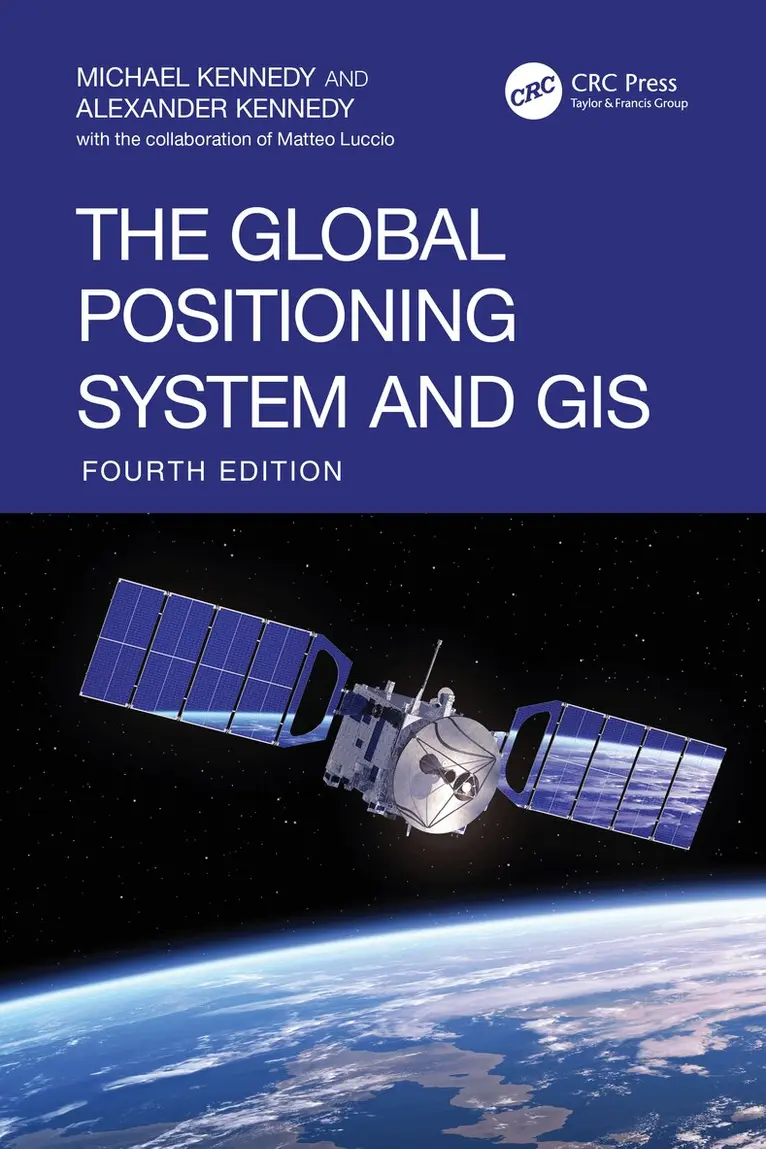
    Global Positioning System and GIS

    AvMichael Kennedy,Alexander Kennedy

    Inbunden, Engelska, 2025

    1 762 kr

    Beställningsvara. Skickas inom 10-15 vardagar. Fri frakt över 249 kr.

    Beskrivning

    Now in its fourth edition, The Global Positioning System and GIS arrives at a critical moment of transition— a time when new methods for collecting position and attribute data are reshaping how information is integrated into Geographic Information Systems (GIS).This edition is uniquely structured to reflect this shift: each chapter is divided into two sections— one covering “Newer Technology,” including the latest advances in hardware, software, and cloud- based data collection, and the other preserving and refining “Older Technology” techniques from the third edition.As GIS platforms represent the Earth with increasing precision and Global Navigation Satellite Systems (GNSS) deliver accuracy down to the centimeter, this book equips readers with proven, practical methods for building highly accurate and actionable geospatial datasets across a wide variety of devices and platforms.Features:Step-by-step tutorials for hands- on learning, balancing theoretical foundations with practical applicationCovers both ArcGIS Pro (ESRI) and QGIS (open- source), ensuring students and professionals can work across essential GIS platformsSupports a broad range of devices: Android, iOS, and Trimble receiversProvides downloadable datasets for instructors to use in exercises, examples, and examsFeatures an entirely new chapter by GPS World former Editor- in- Chief Matteo Luccio, along with exclusive interviews with GPS and GIS pioneers Brad Parkinson, Charlie Trimble, and Jack DangermondClear, practical, and deeply informed by the evolution of the field, The Global Positioning System and GIS, first published in 1996, remains the definitive resource for anyone working where geospatial accuracy matters— from students and researchers to GIS professionals across all disciplines.

    Produktinformation

    • Utgivningsdatum:2025-11-27
    • Mått:156 x 234 x 29 mm
    • Vikt:1 010 g
    • Format:Inbunden
    • Språk:Engelska
    • Antal sidor:430
    • Upplaga:4
    • Förlag:Taylor & Francis Ltd
    • ISBN:9780367506063

    Utforska kategorier

    • Geografi inom Naturvetenskap och teknik

    Mer om författaren

    Michael Kennedy’s principal expertise lies in the application of computers to interesting problems and is deeply involved in the growing area of Geographic Information Systems (GIS). Since the early 1970s he has conducted work on "making a computer believe it's a map." In 1991 he founded the GIS program in the Department of Geography at the University of Kentucky. Professor Kennedy is the author of several textbooks and “Introducing Geographic Information Systems with ArcGIS -- A Workbook Approach to Learning GIS, Third Edition” published by Wiley, is one of them. Over the years Professor Kennedy has had a wide range of experiences relating computers and environmental matters. Primarily to be able to talk to planners about the newly emerging field of GIS he became certified as a planner by the American Institute of Certified Planners (AICP). He was Director of the Computer-Aided Design Laboratory at the University of Kentucky for several years. He has been invited to teach GIS and/or programming at Simon Fraser University and several state or provincial universities: North Carolina, Florida, and British Columbia.Alexander Kennedy is a Software Engineer, Data Visualization Engineer, and Data Journalist who specializes in interactive data storytelling for environmental and public health issues. His public-facing work has been published in People Magazine and Undark Magazine. In 2022 his interactive feature Below Dozens of Aging Dams a Potential Toxic Calamity (co-authored with James Dinneen) was awarded the ASJA Donald Robinson Memorial Award for Investigative Journalism, nominated for ASME's National Magazine Award in the Reporting category, and nominated for the NIHCM Foundation’s Digital Media Journalism Award. Alexander has led data visualization workshops, including a D3.js workshop at Impact Labs. Alexander is an active advocate for open data policies and civic data art. From 2019 to 2021 he co-curated and co-organized Data Through Design (DxD), an annual exhibition celebrating tangible, multimedia expressions of New York City's Open Data. DxD is produced in partnership with the NYC Mayor’s Office of Data Analytics, BetaNYC, NYC Open Data Week, and the US Census. In his spare time, Alexander loves to make music and dance.

    Innehållsförteckning

    • 1. Basic Concepts. 2. More on GPS Data Collection. 3. Examining GPS Data. 4. Differential Correction, DOQs, and ESRI Data. 5. Integrating GPS Data with GIS Data. 6. Attributes and Positions. 7. GNSS: Past, Present, and Future.