• Fri frakt över 249 kr
  • •
  • Snabba leveranser
  • •
  • Billiga böcker
Kundservice

Du är på sajten för privatpersoner.

Företag, bibliotek eller offentlig verksamhet?

Du handlar på classic.bokus.com, där alla dina funktioner finns intakta.
Till classic.bokus.com
Bokus logotyp. Gå till startsidan.
  • Erbjudanden
  • Nyheter
  • Student
  • Topplistor
  • Barn & ungdom
  • Bokus Play
  • E-böcker
  • Pocketböcker
  • Spel & pussel

10% rabatt på allt med kod: NYSTART10 →

Sidfot

Mina sidor

    Hjälp

    • Kundservice
    • Vanliga frågor och svar
    • Frakt och leverans
    • Retur vid ångerrätt
    • Reklamera vara
    • Betalning
    • Köpvillkor
    • Allmänna villkor
    • Information om webbplatsens tillgänglighet

    Om Bokus

    • Om oss
    • Pressrum
    • För studenter
    • För företag
    • För bibliotek och offentlig verksamhet
    • För leverantörer
    • Hållbarhet

    Populärt

    • Aktuella erbjudanden
    • Presentkort
    • Studentlitteratur
    • Nya böcker
    • Topplistor
    • Signerade böcker
    • Engelska böcker

    Inspiration

    • Boktips
    • BookTok
    • Populära bokserier
    • Barnbokskaraktärer
    • Populära författare
    Logotyp för Bokus
    Följ oss på Facebook (extern länk)Följ oss på Instagram (extern länk)Följ oss på YouTube (extern länk)Följ oss på TikTok (extern länk)
    bokus @ CookiesAnpassa cookiesIntegritetspolicyKöpvillkor
    Till Citymail hemsida (extern länk)Till Budbee hemsida (extern länk)Till Postnord hemsida (extern länk)Till Schenker hemsida (extern länk)Till Early Bird hemsida (extern länk)Till Walleys hemsida (extern länk)
    1. Naturvetenskap och teknik
    2. Geovetenskap
    3. Geografi

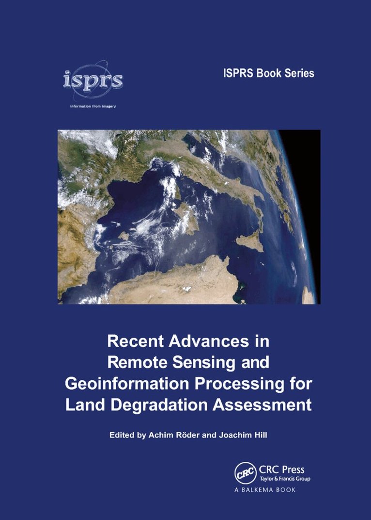
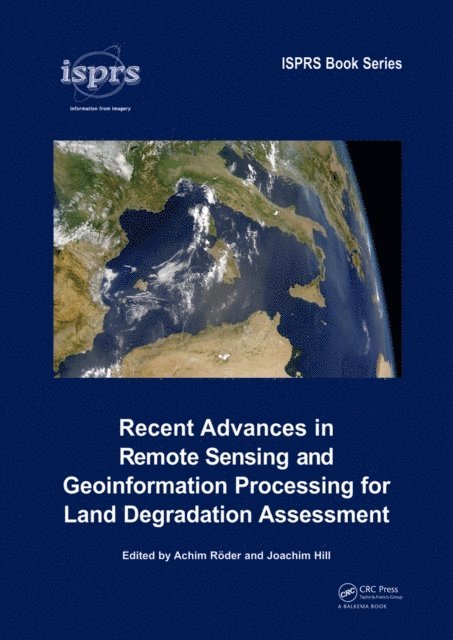
    Recent Advances in Remote Sensing and Geoinformation Processing for Land Degradation Assessment

    AvAchim Roeder,Joachim Hill

    Inbunden, Engelska, 2009

    2 954 kr

    Beställningsvara. Skickas inom 10-15 vardagar. Fri frakt över 249 kr.

    Beskrivning

    Land degradation and desertification are amongst the most severe threats to human welfare and the environment, as they affect the livelihoods of some 2 billion people in the world’s drylands, and they are directly connected to pressing global environmental problems, such as the loss of biological diversity or global climate change. Strategies to combat these processes and mitigate their effects at the land-management and policy level require spatially explicit, up-to-date information, which can be provided based on remote sensing data and using geoinformation processing techniques.Recent Advances in Remote Sensing and Geoinformation Processing for Land Degradation Assessment introduces the current state of the art in this field and provides an overview of both conceptual and technological advances of the recent past. With a specific focus on desertification and land degradation, the volume covers the assessment of related biophysical indicators, as well as complementary qualitative information at different spatial and temporal scales. It is shown how remote sensing data may be utilized in the context of assessing and monitoring affected ecosystems and how this information may be assimilated into integrated interpretation and modelling concepts. In addition, different case studies are provided to demonstrate the implementation of these methods in the frame of different local settings.The volume will be of interest to scientists and students working at the interface of ecosystem services, land degradation/desertification, spatial ecology, remote sensing and spatial modelling, as well as to land managers and policy makers.

    Produktinformation

    • Utgivningsdatum:2009-04-23
    • Mått:178 x 254 x 29 mm
    • Vikt:975 g
    • Format:Inbunden
    • Språk:Engelska
    • Antal sidor:420
    • Förlag:Taylor & Francis Ltd
    • ISBN:9780415397698

    Utforska kategorier

    • Geografi inom Naturvetenskap och teknik

    Mer om författaren

    Achim Röder is a senior scientist and lecturer with the Remote Sensing Department, University of Trier, and has been involved in research on desertification and land degradation for more than 10 years. His present research focuses on the characterization of landscape trends using time series analysis, and the derivation of biophysical indicators under consideration of scaling effects and transitions.Joachim Hill has been head of the Remote Sensing Department, University of Trier, since 1994. His research focuses on the application of hyper- and multispectral remote sensing techniques to derive biophysical vegetation parameters and their assimilation in ecosystem models, and on mapping and monitoring land degradation phenomena in dryland ecosystems.

    Innehållsförteckning

    • Remote sensing and geoinformation processing in land degradation assessment-an introduction Part 1 Setting the scene: principles in remote sensing and spatial scene modelling for land degradation, Coupled human-environment system approaches to desertification: Linking people to pixels. Remote sensing based assessment of biophysical indicators for land degradation and desertification. Integrated environmental modelling to characterise processes of land degradation and desertification for policy support. Estimating area-averaged surface fluxes over contrasted agricultural patchwork in a semi-arid region Part 2 The global perspective: strategies for large area mapping. Potential of long time series of FAPAR products for assessing and monitoring land surface changes: Examples in Europe and the Sahel. Inter-comparison of MEDOKADS and NOAA/NASA pathfinder AVHRR land NDVI time series. Change detection in Syria's rangelands using long-term AVHRR data (1982-2004). 'Hot spot' assessment of land cover change in the CWANA region using AVHRR satellite imagery. Fuzzy integration of satellite data for detecting environmental anomalies across Africa. The spatial uncertainty of desiccation in the West African Sahel and its implications for land degradation. Ongoing desertification processes in the sahelian belt of West Africa: An evidence from the rain-use efficiency Part 3 Taking a closer look: biophysical indicators of vegetation and soils. Vegetation cover and biomass along climatic gradients: The synergy of remote sensing and field studies in two Eastern Mediterranean sites. Modelling species distributions with high resolution remote sensing data to delineate patterns of plant diversity in the Sahel zone of Burkina Faso. Retrieving rangeland vegetation characteristics through constrained inverse reflectance modelling of earth observation satellite imagery. Using reflectance spectroscopy and Landsat data to assess soil inorganic carbon in the Judean Desert (Israel). Simulating Mu