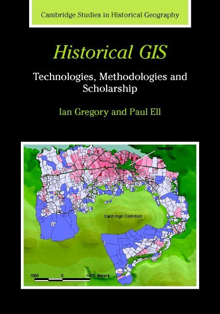
Inbunden, Engelska, 2007
Historical GIS
Technologies, Methodologies, and Scholarship
Av Ian N. Gregory, Paul S. Ell
Del 39 i serien Cambridge Studies in Historical Geography
1761 kr
Beställningsvara. Skickas inom 5-8 vardagar. Fri frakt över 249 kr.
Beskrivning
Historical GIS is an emerging field that uses Geographical Information Systems (GIS) to research the geographies of the past. Ian Gregory and Paul Ell's study, first published in 2007, comprehensively defines this field, exploring all aspects of using GIS in historical research. A GIS is a form of database in which every item of data is linked to a spatial location. This technology offers unparalleled opportunities to add insight and rejuvenate historical research through the ability to identify and use the geographical characteristics of data. Historical GIS introduces the basic concepts and tools underpinning GIS technology, describing and critically assessing the visualisation, analytical and e-science methodologies that it enables and examining key scholarship where GIS has been used to enhance research debates. The result is a clear agenda charting how GIS will develop as one of the most important approaches to scholarship in historical geography.
Produktinformation
- Utgivningsdatum: 2007-12-13
- Mått: 180 x 253 x 12 mm
- Vikt: 630 g
- Format: Inbunden
- Språk: Engelska
- Serie: Cambridge Studies in Historical Geography
- Antal sidor: 240
- Förlag: Cambridge University Press
- ISBN: 9780521855631
Utforska kategorier
Mer om författaren
Ian Gregory is Associate Director of the Centre for Data Digitisation and Analysis in the School of Geography, Archaeology and Palaeoecology at the Queen's University of Belfast. Paul Ell is Founding Director of the Centre for Data Digitisation and Analysis in the School of Geography, Archaeology and Palaeoecology at the Queen's University of Belfast.
Betyg & recensioner
0 recensioner
Inga recensioner tillgängliga.