Häftad, Engelska, 1988
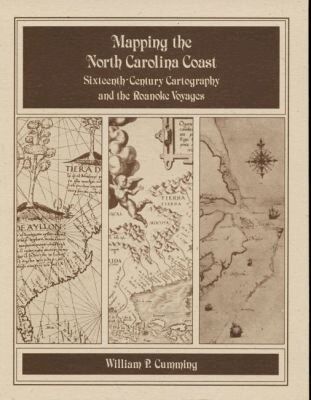
Mapping the NC Coast
Sixteenth-Century Cartography and the Roanoke Voyages
139 kr
Beställningsvara. Skickas inom 10-15 vardagar. Fri frakt över 249 kr.
Beskrivning
Historical survey that examines the cartography known or available to the English colonists of 1584-1587 as well as that which they produced during their explorations. Includes twenty-eight map plates printed on high quality coated paper, the author's notes, and a useful appendix that lists sixteenth-century names for the southeastern North American coast and correlates them with modern names and landmarks.
Produktinformation
- Utgivningsdatum: 1988-01-30
- Mått: 254 x 355 x 19 mm
- Vikt: 333 g
- Format: Häftad
- Språk: Engelska
- Antal sidor: 156
- Förlag: The University of North Carolina Press
- ISBN: 9780865262324
Utforska kategorier
Betyg & recensioner
0 recensioner
Inga recensioner tillgängliga.