• Fri frakt över 249 kr
  • •
  • Snabba leveranser
  • •
  • Billiga böcker
Kundservice

Du är på sajten för privatpersoner.

Företag, bibliotek eller offentlig verksamhet?

Du handlar på classic.bokus.com, där alla dina funktioner finns intakta.
Till classic.bokus.com
Bokus logotyp. Gå till startsidan.
  • Erbjudanden
  • Student
  • Topplistor
  • Barn & ungdom
  • Bokus Play
  • E-böcker
  • Ljudböcker
  • Pocketböcker
  • Spel och pussel

Pocketfynda! Hundratals böcker för 49 kr/st →

Sidfot

Mina sidor

    Hjälp

    • Kundservice
    • Vanliga frågor och svar
    • Frakt och leverans
    • Retur vid ångerrätt
    • Reklamera vara
    • Betalning
    • Köpvillkor
    • Allmänna villkor
    • Information om webbplatsens tillgänglighet

    Om Bokus

    • Om oss
    • Pressrum
    • För studenter
    • För företag
    • För bibliotek och offentlig verksamhet
    • För leverantörer
    • Hållbarhet

    Populärt

    • Aktuella erbjudanden
    • Presentkort
    • Studentlitteratur
    • Nya böcker
    • Topplistor
    • Signerade böcker
    • Engelska böcker

    Inspiration

    • Boktips
    • BookTok
    • Barnbokskaraktärer
    • Populära författare
    Logotyp för Bokus
    Följ oss på Facebook (extern länk)Följ oss på Instagram (extern länk)Följ oss på YouTube (extern länk)Följ oss på TikTok (extern länk)
    bokus @ CookiesAnpassa cookiesIntegritetspolicyKöpvillkor
    Till Citymail hemsida (extern länk)Till Budbee hemsida (extern länk)Till Postnord hemsida (extern länk)Till Schenker hemsida (extern länk)Till Early Bird hemsida (extern länk)Till Walleys hemsida (extern länk)
    1. Naturvetenskap och teknik
    2. Geovetenskap
    3. Geovetenskap

    Multi-sensor System Applications in the Everglades Ecosystem

    AvCaiyun Zhang

    Häftad, Engelska, 2023

    Del i serien Remote Sensing Applications Series

    734 kr

    Beställningsvara. Skickas inom 10-15 vardagar. Fri frakt över 249 kr.

    Fler format och utgåvor

    E-bok

    872 kr

    Inbunden

    2 410 kr

    E-bok

    872 kr

    Beskrivning

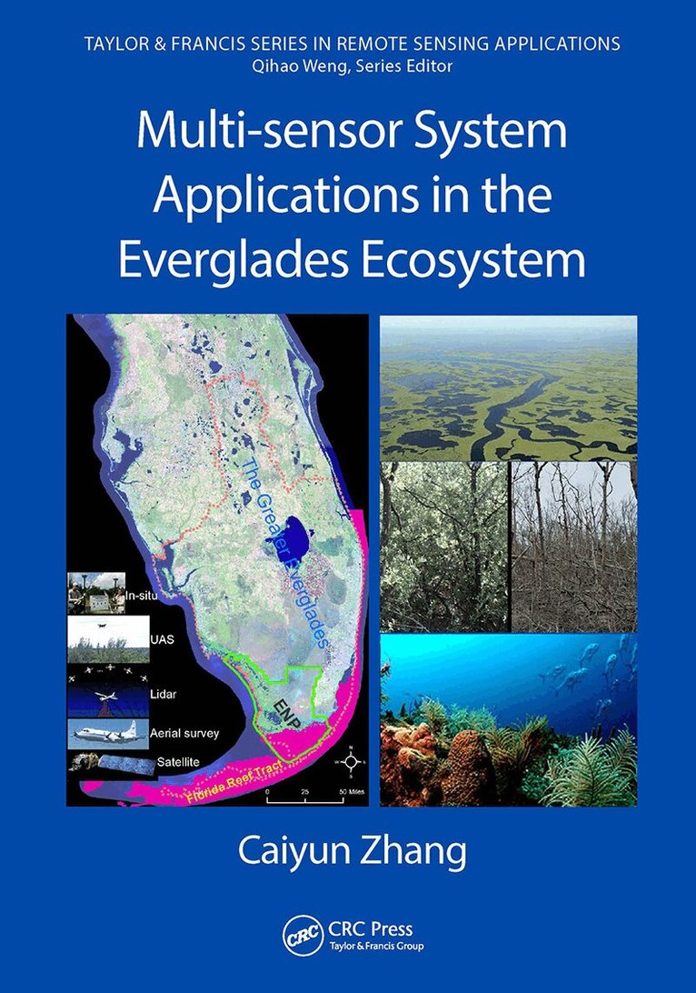
    This book explores the applicability of multiple remote sensors to acquire information relevant to restoration and conservation efforts in wetlands using data collected from airborne and space multispectral/hyperspectral sensors, light detection and ranging (LiDAR), Unmanned Aircraft Systems (UAS), and a hand-held spectroradiometer. This book also examines digital data processing techniques such as object-based image analysis, machine learning, texture analysis, and data fusion. After an introduction to the Everglades and to remote sensing, the book is divided into four parts based on the sensor systems used. There are chapters on vegetation mapping, biomass and water quality modeling, applications of hyperspectral data for plant stress analysis and coral reef mapping, studies of airborne LiDAR data for coastal vulnerability analysis and DEM improvement, as well as chapters that explore a fusion of multiple sensors for different datasets.Features Introduces concepts, theories, and advanced processing techniques A complete introduction of machine learning, object-based image analysis, data fusion, and ensemble analysis techniques in processing data from multiple remote sensors Explains how multiple remote sensing systems are applied in the wetland ecosystems of Florida The author had been teaching and using both systems and her research is widely recognized Multi-sensor System Applications in the Everglades Ecosystems provides a comprehensive application of remote sensing techniques in the Florida Everglades and its coastal ecosystems. It will prove an invaluable resource for the restoration and conservation of the Florida Everglades and beyond, for global wetlands in general. Any professional, scientist, engineer, or student working with remote sensing and wetland ecosystems will reap enormous benefits from this book.

    Produktinformation

    • Utgivningsdatum:2023-01-21
    • Mått:178 x 254 x undefined mm
    • Vikt:980 g
    • Format:Häftad
    • Språk:Engelska
    • Serie:Remote Sensing Applications Series
    • Antal sidor:358
    • Förlag:Taylor & Francis Ltd
    • ISBN:9781032474878

    Utforska kategorier

    • Geovetenskap inom Naturvetenskap och teknik
    • Geografi inom Naturvetenskap och teknik
    • Miljöteknik inom Naturvetenskap och teknik

    Mer om författaren

    Dr. Zhang received her Ph.D. in Geospatial Information Sciences from University of Texas, Dallas. Her research at FAU focuses on vegetation characterization in the Florida Everglades using multiple sensors, biomass modeling and mapping, water quality monitoring and mapping, and analyzing coastal vulnerability to sea level rise and hurricanes. She has developed innovative methodology frameworks to monitor and map the Greater Everglades by combining multiple sensors and GIS techniques, which can assist with the restoration and conservation of the Florida Everglades ecosystem. She applies modern machine learning and advanced remote sensing image processing techniques in the coastal environments to understand the effects of human activities and natural disasters on the modification of coastal landscapes. She is teaching five major remote sensing courses at FAU including Remote Sensing of Environment, Digital Image Analysis, Hyperspectral Remote Sensing, Lidar Remote Sensing and Applications, and Photogrammetry and Aerial Photo Interpretation.

    Innehållsförteckning

    • Part I. Florida Everglades and Remote Sensing. 1. Florida Everglades and Restoration. 2. Introduction to Remote Sensing. 3. Vegetation Classification System in the Everglades. Part II. 4. Applying Aerial Photography to Map Marsh Species in the Wetland of Lake Okeechobee. 5. Unmanned Aircraft System (UAS) for Wetland Species Mapping. 6. Spaceborne Multispectral Sensors for Vegetation Mapping and Change Analysis. 7. Water Quality Modeling and Mapping using Landsat Data. 8. Mapping Sawgrass Aboveground Biomass using Landsat Data. 9. Applying Landsat Products to Assess the Damage and Resilience of Mangroves from Hurricanes. Part III. Hyperspectral Remote Sensing Applications 10. Applying Point Spectroscopy Data to Assess the Effects of Salinity and Sea Level Rise on Canopy Water Content of Juncus roemaerianus. 11. Applying Point Spectroscopy Data to Characterize Sand Properties. 12. Land Cover-level Vegetation Mapping using AVIRIS. 13. Species-level Vegetation Mapping in the Kissimmee River Floodplain using HyMap Data. 14. Benthic Habitat Mapping in the Florida Keys using EO-1/Hyperion. Part IV. Lidar Remote Sensing Applications. 15. Vulnerability Analysis of Coastal Everglades to Sea Level Rise using SLAMM. 16. Enhancing Lidar Data Integrity in the Coastal Everglades. 17. Assessing the Effects of Hurricane Irma on Mangrove Structures in the Coastal Everglades using Airborne Lidar Data. Part V. Fusing Multiple Sensors for Everglades Applications. 18. Integrating Aerial Photography, EO-1/Hyperion, and Lidar Data to Map Vegetation in the Coastal Everglades. 19. Assessing a Multi-sensor Fusion Approach to Map Detailed Reef Benthic Habitats in the Florida Reef Tract. Index.