• Fri frakt över 249 kr
  • •
  • Snabba leveranser
  • •
  • Billiga böcker
Kundservice

Du är på sajten för privatpersoner.

Företag, bibliotek eller offentlig verksamhet?

Du handlar på classic.bokus.com, där alla dina funktioner finns intakta.
Till classic.bokus.com
Bokus logotyp. Gå till startsidan.
  • Erbjudanden
  • Nyheter
  • Student
  • Topplistor
  • Barn & ungdom
  • Bokus Play
  • E-böcker
  • Pocketböcker
  • Spel & pussel

10% rabatt på allt med kod NYSTART10 →

Sidfot

Mina sidor

    Hjälp

    • Kundservice
    • Vanliga frågor och svar
    • Frakt och leverans
    • Retur vid ångerrätt
    • Reklamera vara
    • Betalning
    • Köpvillkor
    • Allmänna villkor
    • Information om webbplatsens tillgänglighet

    Om Bokus

    • Om oss
    • Pressrum
    • För studenter
    • För företag
    • För bibliotek och offentlig verksamhet
    • För leverantörer
    • Hållbarhet

    Populärt

    • Aktuella erbjudanden
    • Presentkort
    • Studentlitteratur
    • Nya böcker
    • Topplistor
    • Signerade böcker
    • Engelska böcker

    Inspiration

    • Boktips
    • BookTok
    • Populära bokserier
    • Barnbokskaraktärer
    • Populära författare
    Logotyp för Bokus
    Följ oss på Facebook (extern länk)Följ oss på Instagram (extern länk)Följ oss på YouTube (extern länk)Följ oss på TikTok (extern länk)
    bokus @ CookiesAnpassa cookiesIntegritetspolicyKöpvillkor
    Till Citymail hemsida (extern länk)Till Budbee hemsida (extern länk)Till Postnord hemsida (extern länk)Till Schenker hemsida (extern länk)Till Early Bird hemsida (extern länk)Till Walleys hemsida (extern länk)
    1. Naturvetenskap och teknik
    2. Geovetenskap
    3. Geografi

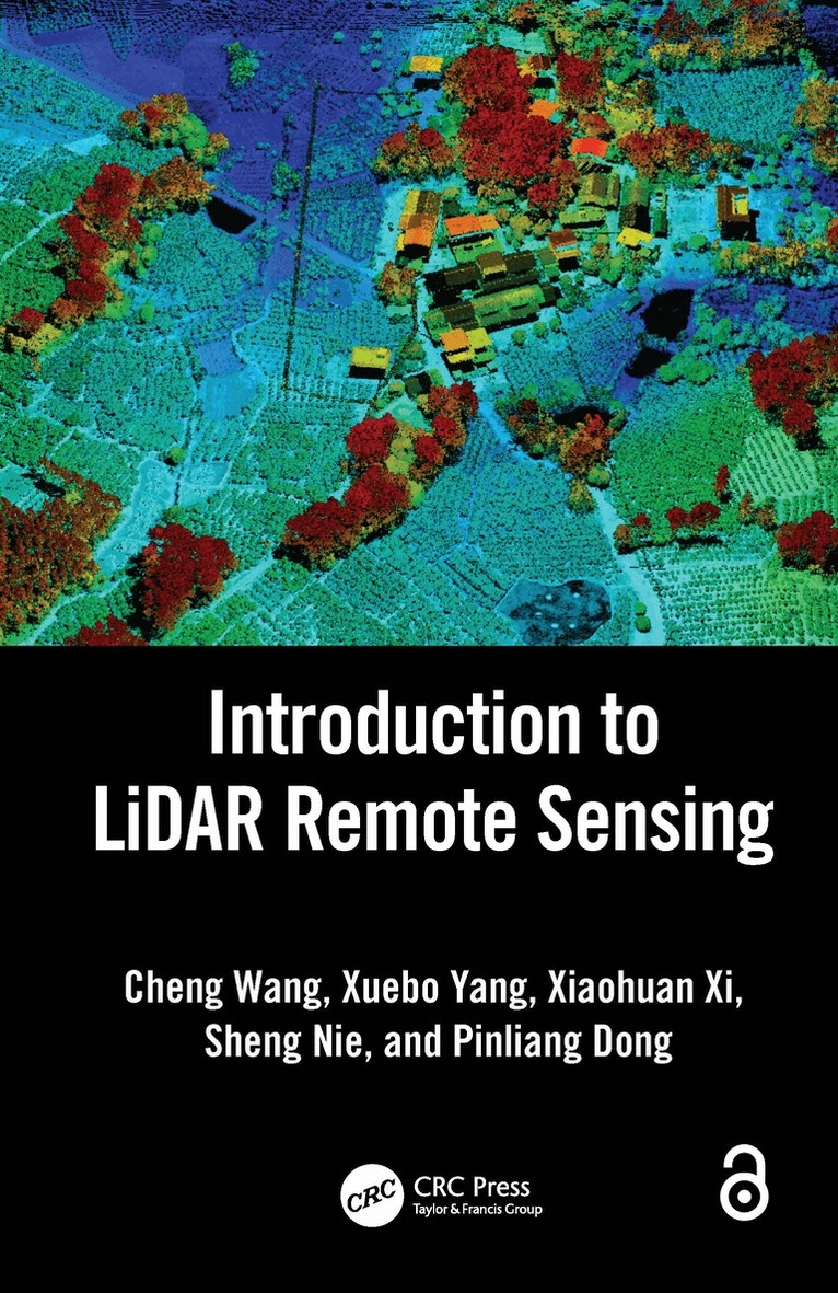
    Introduction to LiDAR Remote Sensing

    AvCheng Wang,Xuebo Yang

    Häftad, Engelska, 2026

    793 kr

    Beställningsvara. Skickas inom 10-15 vardagar. Fri frakt över 249 kr.

    Fler format och utgåvor

    Inbunden

    1 467 kr

    Beskrivning

    Light detection and ranging, or LiDAR, is an advanced active remote sensing technology developed in the last 30 years to measure variable distances to the Earth. This book explains the fundamental concepts of LiDAR technology and its extended spaceborne, airborne, terrestrial, mobile, and unmanned aerial vehicle (UAV) platforms. It addresses the challenges of massive LiDAR data intelligent processing, LiDAR software engineering, and in-depth applications. The theory and algorithms are integrated with multiple applications in a systematic way and with step-by-step instructions. Written for undergraduate and graduate students and practitioners in the field of LiDAR remote sensing, this book is a much-needed comprehensive resource.FEATURESExplains the fundamentals of LiDAR remote sensing, including theory, techniques, methods, and applicationsHighlights the dissemination and popularization of LiDAR remote sensing technology in the last decadeIncludes new advances in LiDAR data processing and applicationsIntroduces new technologies such as spaceborne LiDAR and photon-counting LiDARProvides multiple LiDAR application cases regarding topography mapping, forest investigation, power line inspection, building modeling, automatic driving, crop monitoring, indoor navigation, cultural heritage conservation, and underwater mappingThis book is written for graduate and upper-level undergraduate students taking courses in remote sensing, geography, photogrammetric engineering, laser techniques, surveying and mapping, geographic information systems (GIS), forestry, and resources and environmental protection. It is also a comprehensive resource for researchers and scientists interested in learning techniques for collecting LiDAR remote sensing data and processing, analyzing, and managing LiDAR data for applications in forestry, surveying and mapping, cultural relic protection, and digital products.Chapters 1 and 2 of this book are freely available as a downloadable Open Access PDF at http://www.taylorfrancis.com under a Creative Commons Attribution-Non Commercial-No Derivatives (CC-BY-NC-ND) 4.0 license.

    Produktinformation

    • Utgivningsdatum:2026-06-21
    • Mått:156 x 234 x 14 mm
    • Vikt:480 g
    • Format:Häftad
    • Språk:Engelska
    • Antal sidor:245
    • Förlag:Taylor & Francis Ltd
    • ISBN:9781032671529

    Utforska kategorier

    • Geografi inom Naturvetenskap och teknik
    • Systemvetenskap och AI inom Data och IT
    • Byggnadsteknik inom Naturvetenskap och teknik

    Mer om författaren

    Cheng Wang is a Professor at the Aerospace Information Research Institute, Chinese Academy of Sciences (CAS), Beijing, China. He earned a PhD in remote sensing at the University of Strasbourg, France, in 2005. He presently serves as Director of the LiDAR sub-committee of Chinese National Committee of International Society for Digital Earth (CNISDE). He has over 20 years of research experience in LiDAR remote sensing mechanism, data processing and applications. He has been the Principal Investigator for over 15 national projects related to LiDAR in China. He has been teaching a LiDAR remote sensing course at the University of Chinese Academy of Sciences for about 10 years. Professor Wang has published more than 200 papers and four books and is the principal award recipient of ten domestic science and technology prizes.Xuebo Yang is an Assistant Research Fellow at the Aerospace Information Research Institute, Chinese Academy of Sciences, Beijing, China. She earned a PhD at the Chinese Academy of Sciences (CAS), Beijing, China, in 2021. Her research interests include LiDAR remote sensing mechanisms, LiDAR sensor development, and LiDAR applications. She has presided over and participated in scientific research programs such as the National Natural Science Foundation of China and the National Key Research and Development Program of China. She was awarded the Xiaowen Li Remote Sensing Science Youth Award and outstanding PhD thesis of Chinese Academy of Sciences.Xiaohuan Xi is an Associate Professor and a Master Supervisor at the Aerospace Information Research Institute, Chinese Academy of Sciences, Beijing, China. She earned an MS in environmental geography at Peking University, Beijing, China, in 2000. Her research interests include LiDAR data acquisition, LiDAR urban application, and agricultural application. She is the Secretary-General of the LiDAR sub-committee of the Chinese National Committee of the International Society for Digital Earth. She is the Principal Investigator of eight national scientific research projects of China and the principal award recipient of five domestic science and technology prizes.Sheng Nie is an Associate Professor at the Aerospace Information Research Institute, Chinese Academy of Sciences, Beijing, China. He earned a PhD at the Chinese Academy of Sciences (CAS), Beijing, China, in 2017. His research interests include multi-mode LiDAR data processing, LiDAR for topography surveying and mapping, and LiDAR vegetation applications. He presides over the National Natural Science Foundation of China and the National Key Research and Development Program of China. He was awarded the Chinese LiDAR Young Scientist award and elected to the Youth Innovation Promotion Association of the Chinese Academy of Sciences.Pinliang Dong is a Professor and a Doctoral Supervisor in the Department of Geography and the Environment, University of North Texas (UNT), Denton, Texas. He earned a BSc at Peking University, China, an MSc at the Institute of Remote Sensing Applications (IRSA), Chinese Academy of Sciences, and a PhD at the University of New Brunswick, Canada. His research interests include LiDAR data analysis and applications in forestry and vegetation mapping, urban environments, disaster damage assessment and geosciences.

    Innehållsförteckning

    • 1. Introduction. 2. LiDAR Remote Sensing Principles. 3. LiDAR Data Acquisition. 4. LiDAR Data Processing. 5. LiDAR Remote Sensing Applications. 6. LiDAR Remote Sensing Prospects.