• Fri frakt över 249 kr
  • •
  • Snabba leveranser
  • •
  • Billiga böcker
Kundservice

Du är på sajten för privatpersoner.

Företag, bibliotek eller offentlig verksamhet?

Du handlar på classic.bokus.com, där alla dina funktioner finns intakta.
Till classic.bokus.com
Bokus logotyp. Gå till startsidan.
  • Erbjudanden
  • Nyheter
  • Student
  • Topplistor
  • Barn & ungdom
  • Bokus Play
  • E-böcker
  • Pocketböcker
  • Spel & pussel

10% rabatt på allt med kod NYSTART10 →

Sidfot

Mina sidor

    Hjälp

    • Kundservice
    • Vanliga frågor och svar
    • Frakt och leverans
    • Retur vid ångerrätt
    • Reklamera vara
    • Betalning
    • Köpvillkor
    • Allmänna villkor
    • Information om webbplatsens tillgänglighet

    Om Bokus

    • Om oss
    • Pressrum
    • För studenter
    • För företag
    • För bibliotek och offentlig verksamhet
    • För leverantörer
    • Hållbarhet

    Populärt

    • Aktuella erbjudanden
    • Presentkort
    • Studentlitteratur
    • Nya böcker
    • Topplistor
    • Signerade böcker
    • Engelska böcker

    Inspiration

    • Boktips
    • BookTok
    • Populära bokserier
    • Barnbokskaraktärer
    • Populära författare
    Logotyp för Bokus
    Följ oss på Facebook (extern länk)Följ oss på Instagram (extern länk)Följ oss på YouTube (extern länk)Följ oss på TikTok (extern länk)
    bokus @ CookiesAnpassa cookiesIntegritetspolicyKöpvillkor
    Till Citymail hemsida (extern länk)Till Budbee hemsida (extern länk)Till Postnord hemsida (extern länk)Till Schenker hemsida (extern länk)Till Early Bird hemsida (extern länk)Till Walleys hemsida (extern länk)
    1. Naturvetenskap och teknik
    2. Geovetenskap
    3. Geovetenskap

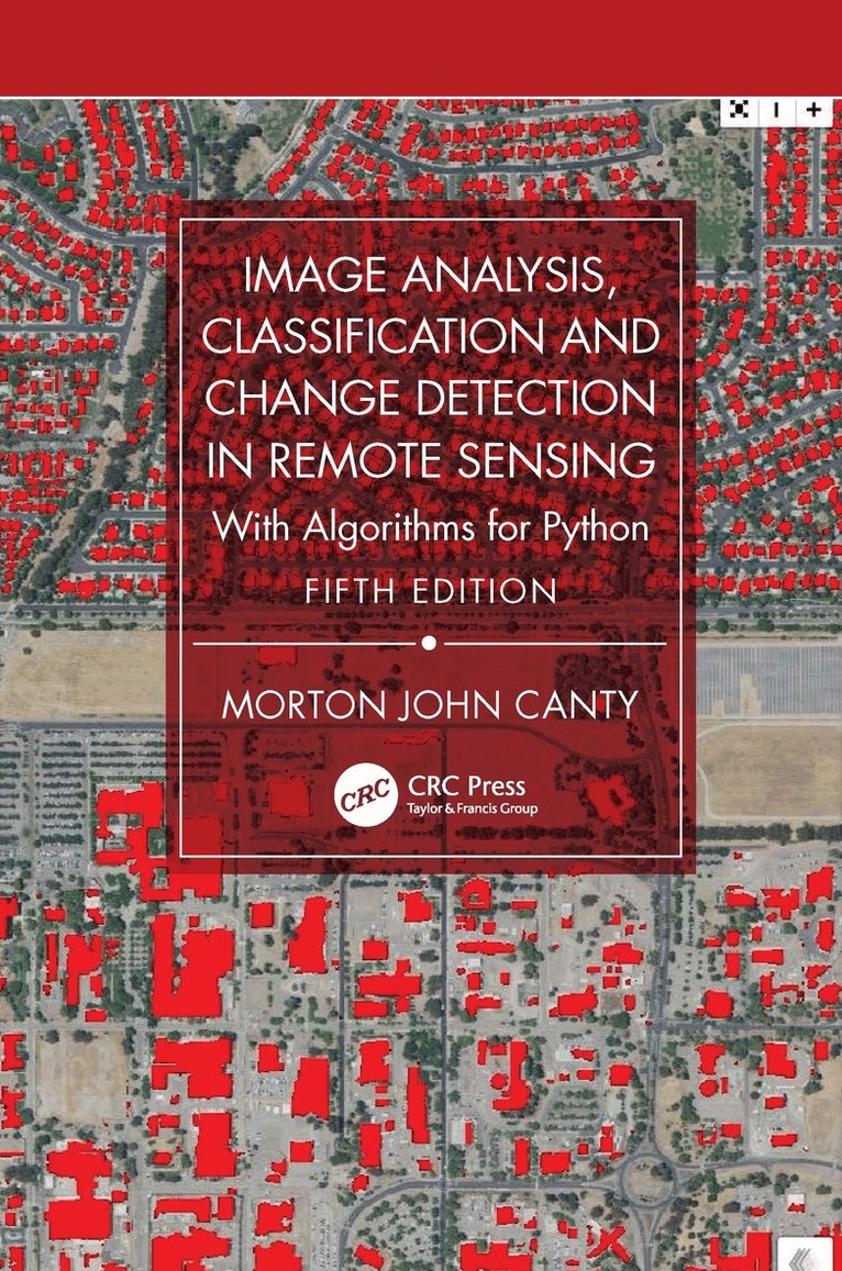
    Image Analysis, Classification and Change Detection in Remote Sensing

    With Algorithms for Python

    AvMorton John Canty

    Inbunden, Engelska, 2025

    2 058 kr

    Beställningsvara. Skickas inom 10-15 vardagar. Fri frakt över 249 kr.

    Fler format och utgåvor

    E-bok

    2 280 kr

    E-bok

    2 280 kr

    Beskrivning

    The fifth edition of this core textbook in advanced remote sensing continues to maintain its emphasis on statistically motivated, data-driven techniques for remote sensing image analysis. The theoretical substance remains essentially the same, with new material on convolutional neural networks, transfer learning, image segmentation, random forests, and an extended implementation of sequential change detection with radar satellites. The tools which apply the algorithms to real remote sensing data are brought thoroughly up to date. As these software tools have evolved substantially with time, the fifth edition replaces the now obsolete Python 2 with Python 3 and takes advantage of the high-level packages that are based on it, such as Colab, TensorFlow/KERAS, Scikit-Learn, and the Google Earth Engine Python API.New in the Fifth Edition:Thoroughly revised to include the updates needed in all chapters because of the necessary changes to the software.Replaces Python 2 with Python 3 tools and updates all associated subroutines, Jupyter notebooks and Python scripts.Presents easy, platform-independent software installation methods with Docker containers.Each chapter concludes with exercises complementing or extending the material in the text.Utilizes freely accessible imagery via the Google Earth Engine and provides many examples of cloud programming (Google Earth Engine API).Examines deep learning examples including TensorFlow and a sound introduction to neural networks.This new text is essential for all upper-level undergraduate and graduate students pursuing degrees in Geography, Geology, Geophysics, Environmental Sciences and Engineering, Urban Planning, and the many subdisciplines that include advanced courses in remote sensing. It is also a great resource for researchers and scientists interested in learning techniques and technologies for collecting, analyzing, managing, processing, and visualizing geospatial datasets.

    Produktinformation

    • Utgivningsdatum:2025-06-02
    • Mått:156 x 234 x 34 mm
    • Vikt:1 140 g
    • Format:Inbunden
    • Språk:Engelska
    • Antal sidor:514
    • Upplaga:5
    • Förlag:Taylor & Francis Ltd
    • ISBN:9781032821689

    Utforska kategorier

    • Geovetenskap inom Naturvetenskap och teknik
    • Systemvetenskap och AI inom Data och IT
    • Geografi inom Naturvetenskap och teknik

    Mer om författaren

    Morton John Canty, now semi-retired, was a senior research scientist in the Institute for Bio- and Geosciences at the Jülich Research Center in Germany. He received his PhD in Nuclear Physics in 1969 at the University of Manitoba, Canada and, after post-doctoral positions in Bonn, Groningen and Marburg, began work in Jülich in 1979. There, his principal interests have been the development of statistical and game-theoretical models for the verification of international treaties and the use of remote sensing data for monitoring global treaty compliance. He has served on numerous advisory bodies to the German Federal Government and to the International Atomic Energy Agency in Vienna and was a coordinator within the European Network of Excellence on Global Monitoring for Security and Stability, funded by the European Commission. Morton Canty is the author of three monographs in the German language: on the subject of non-linear dynamics (Chaos und Systeme, Vieweg, 1995), neural networks for classification of remote sensing data (Fernerkundung mit neuronalen Netzen, Expert, 1999), and algorithmic game theory (Konfliktlösungen mit Mathematica, Springer 2000). The latter text has appeared in a revised English version (Resolving Conflicts with Mathematica, Academic Press, 2003). He is co-author of a monograph on mathematical methods for treaty verification (Compliance Quantified, Cambridge University Press, 1996). He has published many papers on the subjects of experimental nuclear physics, nuclear safeguards, applied game theory, and remote sensing and has lectured on nonlinear dynamical growth models and remote sensing digital image analysis at Universities in Bonn, Berlin, Freiberg/Saxony, and Rome.

    Innehållsförteckning

    • 1. Images, Arrays, and Matrices. 2. Image Statistics. 3. Transformations. 4. Filters, Kernels, and Fields. 5. Image Enhancement and Correction. 6. Supervised Classification Part 1. 7. Supervised Classification Part 2. 8. Unsupervised Classification. 9. Change Detection. Appendix A: Mathematical Tools. Appendix B: Neural Network Training Algorithms. Appendix C: Software.