• Fri frakt över 249 kr
  • •
  • Snabba leveranser
  • •
  • Billiga böcker
Kundservice

Du är på sajten för privatpersoner.

Företag, bibliotek eller offentlig verksamhet?

Du handlar på classic.bokus.com, där alla dina funktioner finns intakta.
Till classic.bokus.com
Bokus logotyp. Gå till startsidan.
  • Erbjudanden
  • Nyheter
  • Student
  • Topplistor
  • Barn & ungdom
  • Bokus Play
  • E-böcker
  • Pocketböcker
  • Spel & pussel

10% rabatt på allt med kod: NYSTART10 →

Sidfot

Mina sidor

    Hjälp

    • Kundservice
    • Vanliga frågor och svar
    • Frakt och leverans
    • Retur vid ångerrätt
    • Reklamera vara
    • Betalning
    • Köpvillkor
    • Allmänna villkor
    • Information om webbplatsens tillgänglighet

    Om Bokus

    • Om oss
    • Pressrum
    • För studenter
    • För företag
    • För bibliotek och offentlig verksamhet
    • För leverantörer
    • Hållbarhet

    Populärt

    • Aktuella erbjudanden
    • Presentkort
    • Studentlitteratur
    • Nya böcker
    • Topplistor
    • Signerade böcker
    • Engelska böcker

    Inspiration

    • Boktips
    • BookTok
    • Populära bokserier
    • Barnbokskaraktärer
    • Populära författare
    Logotyp för Bokus
    Följ oss på Facebook (extern länk)Följ oss på Instagram (extern länk)Följ oss på YouTube (extern länk)Följ oss på TikTok (extern länk)
    bokus @ CookiesAnpassa cookiesIntegritetspolicyKöpvillkor
    Till Citymail hemsida (extern länk)Till Budbee hemsida (extern länk)Till Postnord hemsida (extern länk)Till Schenker hemsida (extern länk)Till Early Bird hemsida (extern länk)Till Walleys hemsida (extern länk)
    1. Naturvetenskap och teknik
    2. Geovetenskap
    3. Geografi
    • Nyhet

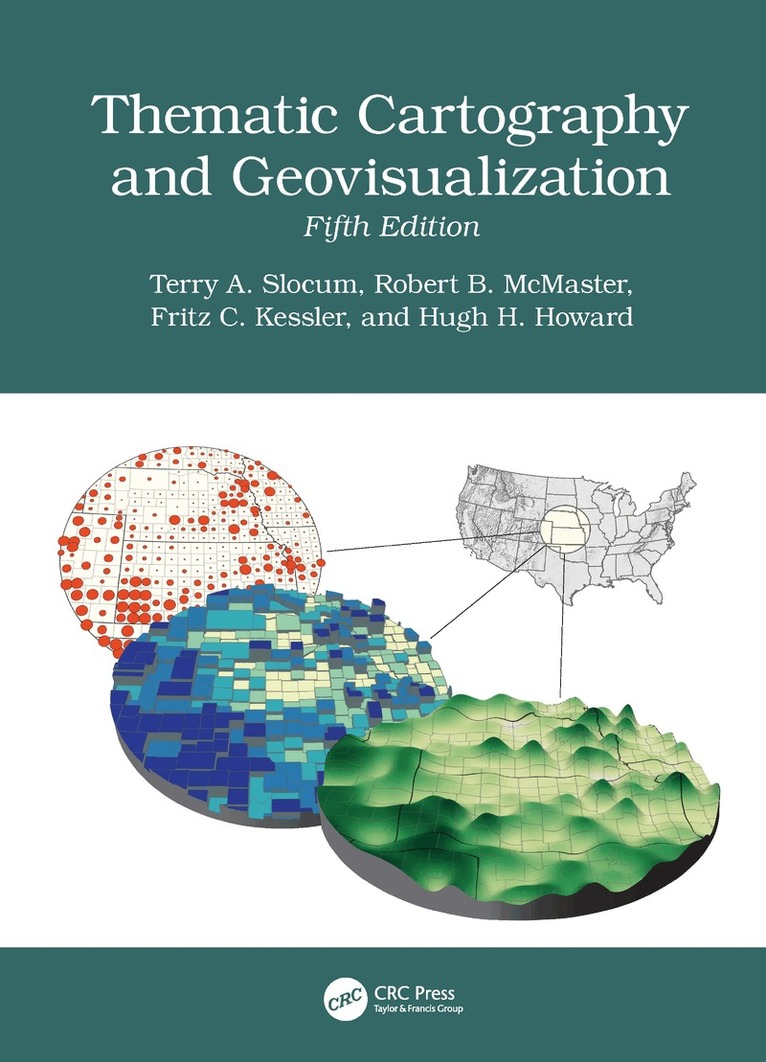
    Thematic Cartography and Geovisualization

    AvTerry Slocum,Robert B McMaster

    Inbunden, Engelska, 2026

    1 761 kr

    Beställningsvara. Skickas inom 10-15 vardagar. Fri frakt över 249 kr.

    Beskrivning

    The fifth edition of this comprehensive and well-established book in cartography has been thoroughly updated and extensively restructured to incorporate new developments in recent years. It reflects advancements in technology, societal changes, and evolving methodologies in the field of cartography. With the inclusion of entirely new chapters, restructured content, and expanded discussions, the book provides a modern perspective on cartographic practices. It emphasizes the integration of Artificial Intelligence, the democratization of mapping through web-based tools, and innovative approaches to visualizing spatiotemporal data. Additionally, it addresses historical paradigms, geovisual analytics, and the adaptation of map elements and typography for mobile and web platforms, ensuring relevance in today's digital age.Some Key Features of the Fifth EditionArtificial Intelligence in Cartography: A new chapter explores AI's 75-year history, deep learning, cartographic applications, and ethical implications.Maps, Mapping, and Society: A new chapter highlights the democratization of mapmaking through web-based tools, empowering the general public.History of Thematic Mapping: Restructured to cover American cartographic paradigms, including analytical, design and production, education, statistical mapping, and symbolization.Visualizing Spatiotemporal Data: Formerly "Animation," this chapter now includes alternatives such as change maps, small multiples, and space-time cubes.Geovisual Analytics: Expanded to include the Australian Cancer Atlas and dashboard development.Map Elements and Typography: Expanded to include guidelines for mobile devices and web browsers.Elements of Map Projections: Now discusses the Universal Transverse Mercator (UTM) and State Plane Coordinate System (SPCS) grid systems.

    Produktinformation

    • Utgivningsdatum:2026-08-10
    • Mått:210 x 280 x undefined mm
    • Vikt:1 430 g
    • Format:Inbunden
    • Språk:Engelska
    • Antal sidor:658
    • Upplaga:5
    • Förlag:Taylor & Francis Ltd
    • ISBN:9781041033752

    Utforska kategorier

    • Geografi inom Naturvetenskap och teknik

    Mer om författaren

    Terry A. Slocum is an Emeritus Professor with the University of Kansas where he taught cartography and statistics for 35 years and chaired the Department of Geography for eight years. He has published in a variety of acclaimed academic journals in cartography, geography, and geoscience. Professor Slocum has been affiliated with six grants from the U.S. National Science Foundation and received two Teacher Appreciation Awards from the Center for Teaching Excellence at the University of Kansas.Robert B. McMaster is professor in the Department of Geography, Environment, and Society at the University of Minnesota. He has authored or edited seven books, and his papers have been published in an array of academic journals. Professionally, he served as President of the Cartography and Geographic Information Society (CaGIS), President of the University Consortium for GIS (UCGIS), and as a Vice President of the International Cartographic Association (ICA). He served a three-year term on the National Research Council’s (NRC) Mapping Science Committee and a six-year term on the NRC’s Board on Earth Sciences. He has been named a Fellow of ACSM and UCGIS.Fritz C. Kessler is a professor in the Department of Geography at Penn State University. He has published in many highly acclaimed academic journals. He has co-authored Working with Map Projections: A Guide to their Selection with Dr. Sarah Battersby, also published by CRC Press. Professor Kessler currently serves on the Editorial Board for Cartographic Perspectives. He was past President of the North American Cartographic and Information Society, a Board of Director for Cartography and Geographic Information Science and the North American Cartographic Information Society, and Editor of Cartographic Perspectives.Hugh H. Howard is a professor of GIS at American River College in Sacramento, California. He earned his Ph.D. in Geography from the University of Kansas specializing in cartographic design and developed an expert system software application to aid students in designing better maps. He has won an Excellence in Education award from the California Geographic Information Association (CGIA), and a Lifetime Achievement in Geospatial Two-Year College Education award from the GeoTech Center. Hugh has worked as a cartographer for the U.S. Forest Service, the City of San Francisco, CB Richard Ellis, and Cartographics. He also taught GIS and managed GIS labs at Stanford University and San Francisco State University.

    Innehållsförteckning

    • 1. Introduction. Part I: Principles of Cartography. 2. History of Thematic Cartography. 3. Maps, Mapping, and Society. 4. Principles of Symbolization. 5. Data Classification. 6. Scale and Generalization. 7. The Earth and Its Coordinate System. 8. Elements of Map Projections. 9. Selecting an Appropriate Map Projection. 10. Principles of Color. 11. Map Elements. 12. Typography. 13. Cartographic Design. Part II: Mapping Techniques. 14. Choropleth Mapping. 15. Dasymetric Mapping. 16. Isarithmic Mapping. 17. Proportional Symbol Mapping. 18. Dot Mapping. 19. Cartograms. 20. Flow Mapping. 21. Multivariate Mapping. Part III: Geovisualization. 22. Visualizing Terrain. 23. Visualizing Spatiotemporal Data. 24. Data Exploration. 25. Geovisual Analytics. 26. Visualizing Uncertainty. 27. Virtual Environments, Augmented Reality, and Mixed Reality. 28. Artificial Intelligence.