• Fri frakt över 249 kr
  • •
  • Snabba leveranser
  • •
  • Billiga böcker
Kundservice

Du är på sajten för privatpersoner.

Företag, bibliotek eller offentlig verksamhet?

Du handlar på classic.bokus.com, där alla dina funktioner finns intakta.
Till classic.bokus.com
Bokus logotyp. Gå till startsidan.
  • Erbjudanden
  • Nyheter
  • Student
  • Topplistor
  • Barn & ungdom
  • Bokus Play
  • E-böcker
  • Pocketböcker
  • Spel & pussel

10% rabatt på allt med kod NYSTART10 →

Sidfot

Mina sidor

    Hjälp

    • Kundservice
    • Vanliga frågor och svar
    • Frakt och leverans
    • Retur vid ångerrätt
    • Reklamera vara
    • Betalning
    • Köpvillkor
    • Allmänna villkor
    • Information om webbplatsens tillgänglighet

    Om Bokus

    • Om oss
    • Pressrum
    • För studenter
    • För företag
    • För bibliotek och offentlig verksamhet
    • För leverantörer
    • Hållbarhet

    Populärt

    • Aktuella erbjudanden
    • Presentkort
    • Studentlitteratur
    • Nya böcker
    • Topplistor
    • Signerade böcker
    • Engelska böcker

    Inspiration

    • Boktips
    • BookTok
    • Populära bokserier
    • Barnbokskaraktärer
    • Populära författare
    Logotyp för Bokus
    Följ oss på Facebook (extern länk)Följ oss på Instagram (extern länk)Följ oss på YouTube (extern länk)Följ oss på TikTok (extern länk)
    bokus @ CookiesAnpassa cookiesIntegritetspolicyKöpvillkor
    Till Citymail hemsida (extern länk)Till Budbee hemsida (extern länk)Till Postnord hemsida (extern länk)Till Schenker hemsida (extern länk)Till Early Bird hemsida (extern länk)Till Walleys hemsida (extern länk)
    1. Data och IT
    2. Systemvetenskap och AI

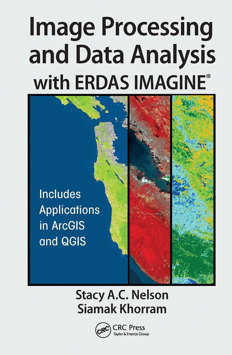
    Image Processing and Data Analysis with ERDAS IMAGINE®

    AvStacy A.C. Nelson,Siamak Khorram

    Inbunden, Engelska, 2018

    2 423 kr

    Beställningsvara. Skickas inom 10-15 vardagar. Fri frakt över 249 kr.

    Beskrivning

    Remotely sensed data, in the form of digital images captured from spaceborne and airborne platforms, provide a rich analytical and observational source of information about the current status, as well as changes occurring in, on, and around the Earth’s surface. The data products, or simply images processed from these platforms, provide an additional advantage in that geographic areas or regions of interest can be revisited on a regular cycle. This revisit cycle allows geospatial analysts and natural resource managers to explore changing conditions over time.Image Processing and Data Analysis with ERDAS IMAGINE® explains the principles behind the processing of remotely sensed data in a simple, easy to understand, and "how-to" format. Organized as a step-by-step guide with exercises adapted from original research and using publicly available imagery, such as NASA Landsat, ESA Sentinel-2, Orthophotos, and others, this book gives readers the ability to quickly gain the practical experience needed to navigate the ERDAS IMAGINE® software as well as learn certain applications in Esri’s ArcMap ArcGIS for Desktop software and Quantum the GIS (QGIS) open source applications package. It also helps readers to easily move beyond the information presented in this book and tackle more advanced skills.Written by two professors with long experience in remote sensing and image processing, this book is a useful guide and reference for both undergraduate and graduate students, researchers, instructors, managers, and agency professionals who are involved in the study of Earth systems and the environment.

    Produktinformation

    • Utgivningsdatum:2018-10-31
    • Mått:156 x 234 x 24 mm
    • Vikt:680 g
    • Format:Inbunden
    • Språk:Engelska
    • Antal sidor:350
    • Förlag:Taylor & Francis Ltd
    • ISBN:9781138034983

    Utforska kategorier

    • Systemvetenskap och AI inom Data och IT
    • Geografi inom Naturvetenskap och teknik

    Mer om författaren

    Dr. Stacy A. C. Nelson is an associate professor in the College of Natural Resources’ Center for Geospatial Analytics, the Department of Forestry and Environmental Resources, and the Fisheries, Wildlife, and Conservation Science Program at North Carolina State University, since 2002. Dr. Nelson’s research interests focus on the use of geospatial technologies to address both regional and localscale questions of land use and land cover change and the impact this change has on aquatic ecosystems. Dr. Nelson earned a B.S. in biology from Jackson State University (1990). He completed a master’s degree from the College of William and Mary’s school of marine science-the Virginia Institute of Marine Science (1995). His Ph.D. was completed in Limnology from Michigan State University’s Department of Fisheries and Wildlife (2002), where Dr. Nelson attended graduate school as a NASA graduate research fellow. During 2010, Dr. Nelson served a year-long Federal Intergovernmental Personnel Act appointment within the National Headquarters of the USDA Forest Service’s Office of Civil Rights in Washington D.C. In D.C., Dr. Nelson worked with the Forest Service and multiple agencies to expand working partnerships between majority-serving and minority-serving Land-Grant Universities in an effort to increase shared research capacities, curricula, and diversity among institutions.Dr. Khorram is a Professor of Remote Sensing and Image processing. He holds a joint faculty appointment at UC Berkeley and North Carolina State University. He received a MS. in Engineering and another MS in Ecology from the University of California (UC) at Davis and his Ph.D. under a joint program from UC Berkeley and Davis. From 1976 to 1980, he served as the Principal Scientist at the Space Sciences Laboratory at UC Berkeley. He then joined the faculty in North Carolina State University (NCSU) in Forestry and Environmental Resources and in Electrical and Computer Engineering departments. He has served as the Principal Investigator for well over 60 major research projects. His research projects have focused on remote sensing, image processing, and geospatial information technology. He has developed a number of image classification and multiresolution data fusion systems as applied to land use and land cover classifications and geospatial modeling. The primary areas of interest and expertise in his research is in natural resources (including water quality) mapping, monitoring, and change detection based on conventional remote sensing techniques as well as automated procedures for image registration, classification, and change detection.

    Innehållsförteckning

    • Acquiring Data: EarthExplorer, GloVis, LandsatLook Viewer, and NRCS Geospatial Data Gateway. Introduction to Image Data Processing. Georectification. Orthorectification. Positional Accuracy Assessment. Radiometric Image Enhancement. Spatial Image Enhancement. Image Digitizing and Interpretation. Unsupervised Classification. Supervised Classification. Object Based Image Analysis. Additional Image Analysis Techniques. Assessing Thematic Classification Accuracy. Basics of Digital Stereoscopy.