E-bok, Engelska, 2017
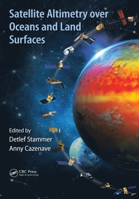
Satellite Altimetry Over Oceans and Land Surfaces
Av Anny Cazenave, Detlef Stammer
1227 kr
Läs direkt i Bokus Reader – eller ladda ned till din enhet
Fler format och utgåvor
Beskrivning
Satellite remote sensing, in particular by radar altimetry, is a crucial technique for observations of the ocean surface and of many aspects of land surfaces, and of paramount importance for climate and environmental studies. This book provides a state-of-the-art overview of the satellite altimetry techniques and related missions, and reviews the most-up-to date applications to ocean dynamics and sea level. It also discusses related space-based observations of the ocean surface and of the marine geoid, as well as applications of satellite altimetry to the cryosphere and land surface waters; operational oceanography and its applications to navigation, fishing and defense.
Produktinformation
- Utgivningsdatum: 2017-10-31
- Språk: Engelska
- Filformat: EPUB
- Kopieringsskydd: LCP
- ISBN: 9781351647816
- Förlag: CRC Press
Utforska kategorier
Betyg & recensioner
0 recensioner
Inga recensioner tillgängliga.