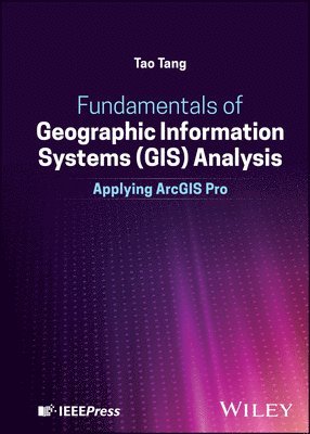
Inbunden, Engelska, 2025
Fundamentals of Geographic Information Systems (GIS) Analysis
Applying ArcGIS Pro
Av Tao Tang
1396 kr
Beställningsvara. Skickas inom 7-10 vardagar. Fri frakt över 249 kr.
Beskrivning
Produktinformation
- Utgivningsdatum: 2025-09-17
- Mått: 185 x 257 x 31 mm
- Vikt: 1 270 g
- Format: Inbunden
- Språk: Engelska
- Antal sidor: 560
- Förlag: John Wiley & Sons Inc
- ISBN: 9781394252169
Utforska kategorier
Mer om författaren
Tao Tang is a Professor of Geographic Information Systems (GIS) and Remote Sensing in the Department of Geosciences at Buffalo State University and The State University of New York (SUNY). Along with GIS and remote sensing, he also teaches map interpretation, physical geography, and the geography of Asia. Some of his research interests include slope form and processes, environmental modeling, and watershed management.
Recensioner i media
"Fundamentals of Geographic Information Systems (GIS) Analysis is a comprehensive and accessible introduction to GIS at the college level. It is well-suited as a primary textbook for undergraduate courses, while also serving as a valuable resource for self-directed learners seeking to build a strong foundation in GIS.Dr. Tang effectively integrates core GIS concepts with real-world applications and hands-on tutorials, creating a balanced learning experience that is both practical and intellectually grounded. The inclusion of applied examples helps bridge theory and practice (an essential component for developing competent GIS professionals).I will admit a degree of bias in appreciating the inclusion of New York State–based examples. These case studies are a gratifying reminder of the sustained effort by the team I led in developing and maintaining the New York State GIS Clearinghouse, supported by contributions from agencies across all levels of government and sectors.The book progresses logically, beginning with foundational principles of GIS and advancing through key topics such as data processing, spatial analysis, and digital cartography. The accompanying website, which provides datasets for eleven tutorial exercises, significantly enhances the learning experience by enabling readers to apply concepts in a structured, hands-on manner.Overall, this text is a strong contribution to GIS education and a practical guide for anyone looking to understand and apply GIS in real-world contexts."—Frank Winters, Former New York State Geographic Information Officer (GIO) Chair, National States Geographic Information Council (NSGIC) Advocacy Committee Board Member, National Geospatial Collaborative (NGC)
Betyg & recensioner
0 recensioner
Inga recensioner tillgängliga.