• Fri frakt över 249 kr
  • •
  • Snabba leveranser
  • •
  • Billiga böcker
Kundservice

Du är på sajten för privatpersoner.

Företag, bibliotek eller offentlig verksamhet?

Du handlar på classic.bokus.com, där alla dina funktioner finns intakta.
Till classic.bokus.com
Bokus logotyp. Gå till startsidan.
  • Erbjudanden
  • Nyheter
  • Student
  • Topplistor
  • Barn & ungdom
  • Bokus Play
  • E-böcker
  • Pocketböcker
  • Spel & pussel

10% rabatt på allt med kod: NYSTART10 →

Sidfot

Mina sidor

    Hjälp

    • Kundservice
    • Vanliga frågor och svar
    • Frakt och leverans
    • Retur vid ångerrätt
    • Reklamera vara
    • Betalning
    • Köpvillkor
    • Allmänna villkor
    • Information om webbplatsens tillgänglighet

    Om Bokus

    • Om oss
    • Pressrum
    • För studenter
    • För företag
    • För bibliotek och offentlig verksamhet
    • För leverantörer
    • Hållbarhet

    Populärt

    • Aktuella erbjudanden
    • Presentkort
    • Studentlitteratur
    • Nya böcker
    • Topplistor
    • Signerade böcker
    • Engelska böcker

    Inspiration

    • Boktips
    • BookTok
    • Populära bokserier
    • Barnbokskaraktärer
    • Populära författare
    Logotyp för Bokus
    Följ oss på Facebook (extern länk)Följ oss på Instagram (extern länk)Följ oss på YouTube (extern länk)Följ oss på TikTok (extern länk)
    bokus @ CookiesAnpassa cookiesIntegritetspolicyKöpvillkor
    Till Citymail hemsida (extern länk)Till Budbee hemsida (extern länk)Till Postnord hemsida (extern länk)Till Schenker hemsida (extern länk)Till Early Bird hemsida (extern länk)Till Walleys hemsida (extern länk)
    1. Data och IT
    2. Databaser

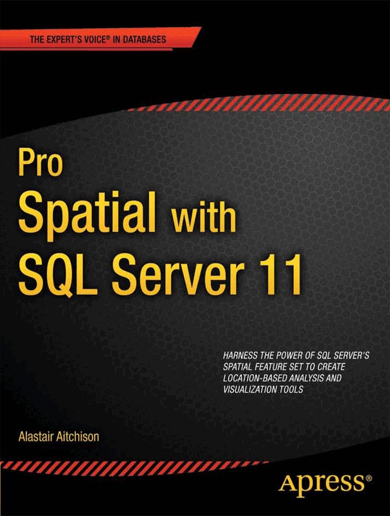
    Pro Spatial with SQL Server 2012

    AvAlastair Aitchison

    Häftad, Engelska, 2012

    952 kr

    Beställningsvara. Skickas inom 10-15 vardagar. Fri frakt över 249 kr.

    Fler format och utgåvor

    E-bok

    1 211 kr

    Beskrivning

    Microsoft SQL Server implements extensive support for location-based data. Pro Spatial with SQL Server 2012 introduces SQL Server’s spatial feature set, and covers everything you'll need to know to store, manipulate, and analyze information about the physical location of objects in space. You’ll learn about the geography and geometry datatypes, and how to apply them in practical situations involving the spatial relationships of people, places, and things on Earth.Author Alastair Aitchison first introduces you to SQL Server’s spatial feature set and the fundamental concepts involved in working with spatial data, including spatial references and co-ordinate systems. You’ll learn to query, analyze, and interpret spatial data using tools such as Bing Maps and SQL Server Reporting Services. Throughout, you'll find helpful code examples that you can adopt and extend as a basis for your own projects. Explains spatial concepts from the ground up—no prior knowledge is necessary Provides comprehensive guidance for every stage of working with spatial data, from importing through cleansing and storing, to querying, and finally for retrieval and display of spatial data in an application layer Brilliantly illustrated with code examples that run in SQL Server 2012, that you can adapt and use as the basis for your own projects.

    Produktinformation

    • Utgivningsdatum:2012-05-15
    • Mått:178 x 254 x 35 mm
    • Vikt:970 g
    • Format:Häftad
    • Språk:Engelska
    • Antal sidor:560
    • Förlag:APress
    • ISBN:9781430234913

    Utforska kategorier

    • Databaser inom Data och IT

    Mer om författaren

    Alastair Aitchison has more than eight years of experience as a management information consultant, specializing in the design and deployment of online reporting systems. For the last three years, he has been employed as a reporting and analysis manager at Aviva, the world's fifth largest insurance group. In this role, he has championed the use of spatial data in corporate applications including the geographic analysis of risk patterns, plotting the success of regional marketing campaigns, and understanding the impact of major weather incidents. Alastair is a Microsoft Office Specialist Master Instructor and has delivered numerous training courses to individuals and small groups on a range of software packages.

    Innehållsförteckning

    • 1. Spatial Reference Systems 2. Spatial Features 3. Spatial Datatypes 4. Creating Spatial Data 5. Importing Spatial Data 6. Geocoding 7. Precision, Validity, and Errors 8. Transformation and Reprojection 9. Examining Spatial Properties 10. Modification and Simplification 11. Aggregation and Combination 12. Testing Spatial Relationships 13. Clustering and Distribution Analysis 14. Route Finding 15. Triangulation and Tesselation 16. Visualization and User Interface 17. Reporting Services 18. Indexing 19.