Häftad, Engelska, 2018
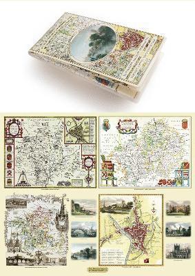
Worcestershire 1610 – 1836 – Fold Up Map that features a collection of Four Historic Maps, John Speed’s County Map 1610, Johan Blaeu’s County Map of 1648, Thomas Moules County Map of 1836 and Cole and Roper’s Plan of the City of Worcester 1805. The map’s also features early Victorian views from around Worcestershire.
Del i serien Historic English Counties Collection
259 kr
Tillfälligt slut
Beskrivning
Produktinformation
- Utgivningsdatum: 2018-12-20
- Mått: 134 x 227 x 53 mm
- Vikt: 104 g
- Format: Häftad
- Språk: Engelska
- Serie: Historic English Counties Collection
- Antal sidor: 1
- Förlag: Historical Images Ltd
- ISBN: 9781844918331
Utforska kategorier
Recensioner i media
Select Guide Rating
Betyg & recensioner
0 recensioner
Inga recensioner tillgängliga.