Häftad, Engelska, 2020
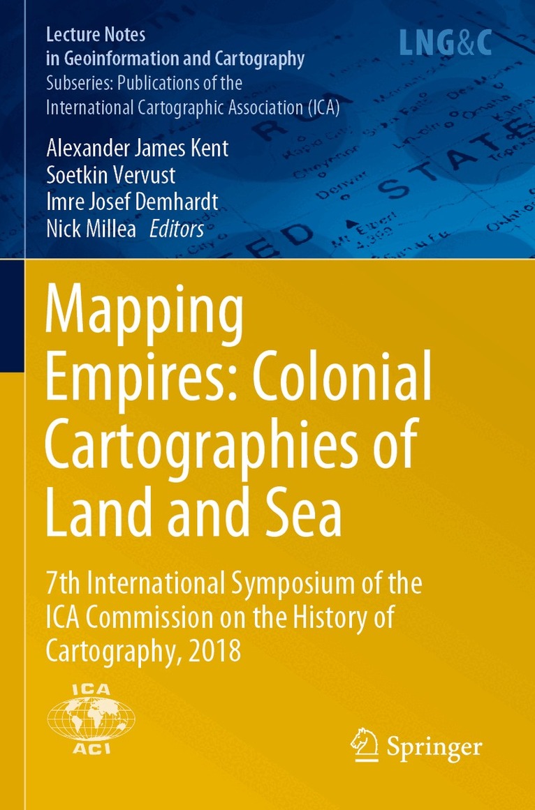
Mapping Empires: Colonial Cartographies of Land and Sea
7th International Symposium of the ICA Commission on the History of Cartography, 2018
Av Alexander James Kent, Soetkin Vervust, Imre Josef Demhardt, Nick Millea
Del i serien Lecture Notes in Geoinformation and Cartography
1557 kr
Beställningsvara. Skickas inom 10-15 vardagar. Fri frakt över 249 kr.
Beskrivning
Produktinformation
- Utgivningsdatum: 2020-08-27
- Mått: 155 x 235 x 19 mm
- Vikt: 505 g
- Format: Häftad
- Språk: Engelska
- Serie: Lecture Notes in Geoinformation and Cartography
- Antal sidor: 321
- Förlag: Springer Nature Switzerland AG
- ISBN: 9783030234492
Utforska kategorier
Mer om författaren
Alexander James Kent is Reader in Cartography and Geographic Information Science at Canterbury Christ Church University (UK), where he lectures on cartographic history and design, GIS, remote sensing and on European and political geography. His research explores the relationship between maps and society, particularly the intercultural aspects of topographic mapping and the aesthetics of cartography. Alex is also the Editor of The Cartographic Journal, the Immediate Past President of the British Cartographic Society, the Chair of the ICA Commission on Topographic Mapping, and the Chair of the ICA World Cartographic Forum.Soetkin Vervust is a postdoctoral research fellow at the VUB – Free University of Brussels (Belgium) and Newcastle University (UK). Her research interests lie in eighteenth and nineteenth century military cartography, the use of digital techniques for the study of old maps, and their applicability to historical geography and landscape archaeology. She has served as Executive Secretary of the ICA Commission on the History of Cartography since 2015.Imre Josef Demhardt is interested in post-enlightenment cartography, colonialism and regional studies, with a focus on Central Europe, Sub-Saharan Africa and North America. In addition to having published numerous articles and several books on these subjects, he is involved as co-editor of Vol. 5 (Nineteenth Century) in the encyclopedic project on the History of Cartography. He holds the Garrett Chair in the History of Cartography at the University of Texas at Arlington and currently serves as Chair of the ICA Commission on the History of Cartography.Nick Millea has been Map Librarian at the Bodleian Library, University of Oxford, since 1992. He served as Bibliographer for Imago Mundi (2005–10 and 2012–15) and is a founding member and co-convenor of The Oxford Seminars in Cartography (TOSCA). Most recently, he has co-curated the Talking Maps exhibit at the Bodleian Library and has written the exhibit’s complementary books: Talking Maps and Fifty Maps and the Stories They Tell.
Betyg & recensioner
0 recensioner
Inga recensioner tillgängliga.