• Fri frakt över 249 kr
  • •
  • Snabba leveranser
  • •
  • Billiga böcker
Kundservice

Du är på sajten för privatpersoner.

Företag, bibliotek eller offentlig verksamhet?

Du handlar på classic.bokus.com, där alla dina funktioner finns intakta.
Till classic.bokus.com
Bokus logotyp. Gå till startsidan.
  • Erbjudanden
  • Nyheter
  • Student
  • Topplistor
  • Barn & ungdom
  • Bokus Play
  • E-böcker
  • Pocketböcker
  • Spel & pussel

10% rabatt på allt med kod NYSTART10 →

Sidfot

Mina sidor

    Hjälp

    • Kundservice
    • Vanliga frågor och svar
    • Frakt och leverans
    • Retur vid ångerrätt
    • Reklamera vara
    • Betalning
    • Köpvillkor
    • Allmänna villkor
    • Information om webbplatsens tillgänglighet

    Om Bokus

    • Om oss
    • Pressrum
    • För studenter
    • För företag
    • För bibliotek och offentlig verksamhet
    • För leverantörer
    • Hållbarhet

    Populärt

    • Aktuella erbjudanden
    • Presentkort
    • Studentlitteratur
    • Nya böcker
    • Topplistor
    • Signerade böcker
    • Engelska böcker

    Inspiration

    • Boktips
    • BookTok
    • Populära bokserier
    • Barnbokskaraktärer
    • Populära författare
    Logotyp för Bokus
    Följ oss på Facebook (extern länk)Följ oss på Instagram (extern länk)Följ oss på YouTube (extern länk)Följ oss på TikTok (extern länk)
    bokus @ CookiesAnpassa cookiesIntegritetspolicyKöpvillkor
    Till Citymail hemsida (extern länk)Till Budbee hemsida (extern länk)Till Postnord hemsida (extern länk)Till Schenker hemsida (extern länk)Till Early Bird hemsida (extern länk)Till Walleys hemsida (extern länk)
    1. Naturvetenskap och teknik
    2. Geovetenskap
    3. Geografi

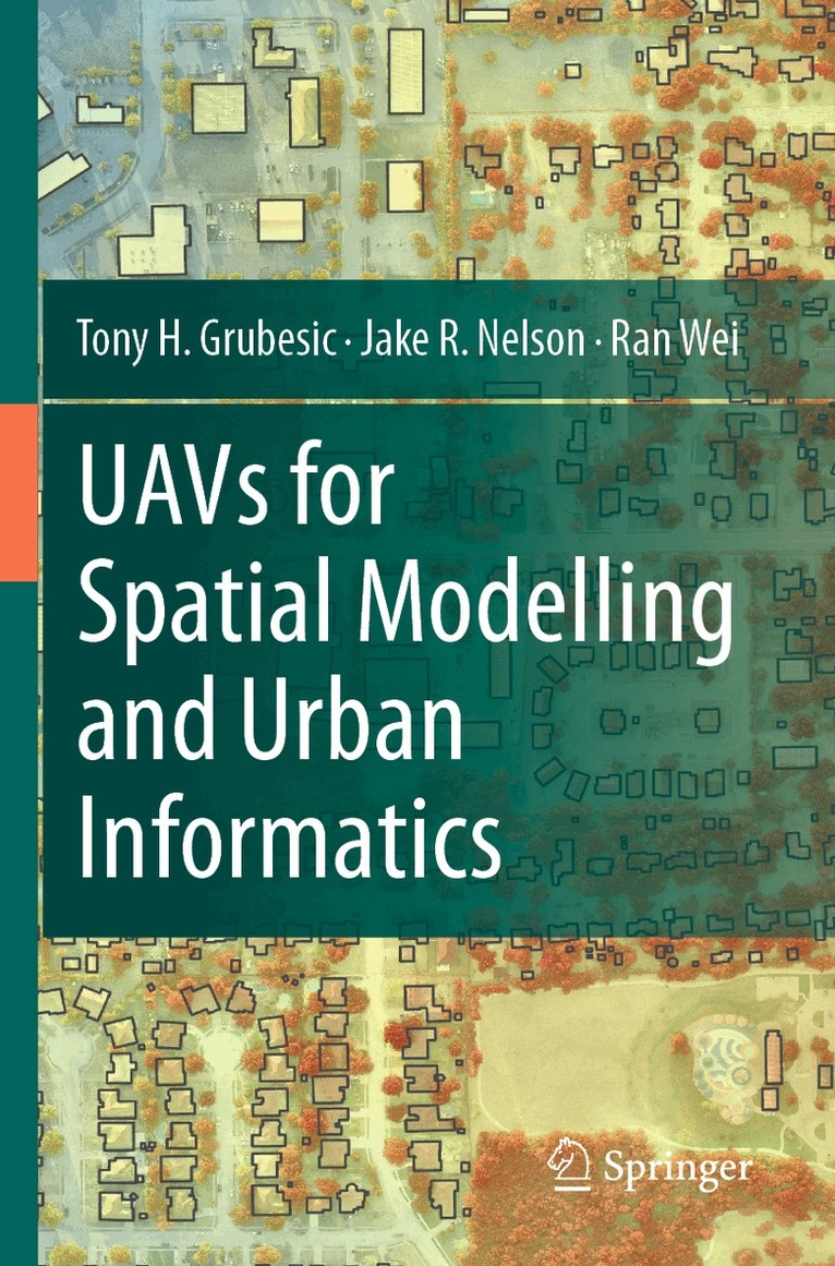
    UAVs for Spatial Modelling and Urban Informatics

    AvTony H. Grubesic,Jake R. Nelson

    Häftad, Engelska, 2025

    1 733 kr

    Beställningsvara. Skickas inom 10-15 vardagar. Fri frakt över 249 kr.

    Fler format och utgåvor

    Inbunden

    1 733 kr

    Beskrivning

    This book aims to provide a wide range of real-world applications in using unmanned aerial vehicles (UAVs) for geographic observation, spatial modeling, and urban informatics. Specifically, UAVs are incredibly effective platforms for connecting people, places, and technology. This book explores the utility of UAVs for monitoring, measuring, and improving urban infrastructure systems, urban sustainability, and the urban environment. The dynamism of cities provides opportunities for economic, social, and environmental change, but benchmarking and measuring cities continues to be challenging. This challenge is due, at least in part, to a lack of monitoring systems that can collect and analyze data at a granular enough scale to capture the nuance of local phenomena. UAVs offer a promising mechanism to fill this niche, serving as a measurement platform that can rapidly and inexpensively collect data and monitor change in cities. However, their use is fraught with social, operational, regulatory, and technical challenges for successful deployments.  This book provides a resource for urbanists (e.g., planners, geographers, sociologists, epidemiologists, engineers), educators, and students who work with geographic information and seek to enhance these data using data and information from unmanned aerial vehicles. At the same time, we provide operational and methodological frameworks for carrying out these advanced analyses in a manner that considers the challenges of incorporating UAVs in research within the urban environment. We provide six unique applications of UAVs for urban analysis, detailing relevant policy and empirical questions, UAV mission parameters, data collection, spatial modeling, and the associated empirical results. Further, we discuss how best to integrate these results into actionable geospatial intelligence and policy development to improve city infrastructure systems, sustainability, the environment, and neighborhood quality.

    Produktinformation

    • Utgivningsdatum:2025-03-08
    • Mått:155 x 235 x 10 mm
    • Vikt:322 g
    • Format:Häftad
    • Språk:Engelska
    • Antal sidor:170
    • Förlag:Springer International Publishing AG
    • ISBN:9783031541162

    Utforska kategorier

    • Geografi inom Naturvetenskap och teknik
    • Tillämpad datateknik inom Data och IT

    Mer om författaren

    Dr. Tony Grubesic is the Center for Geospatial Sciences director and a professor in the School of Public Policy at the University of California, Riverside. His research and teaching interests are spatial data science, regional development, and public policy evaluation. Author of over 170 research publications, his recent work focuses on community vulnerability, broadband Internet deployment, health disparities, and air transportation systems. Grubesic is also an FAA-certified commercial drone pilot. Tony's research has been funded by the National Academies of Science, the National Science Foundation, the National Institutes of Health, the Institute for Museum and Library Services, and many other state and federal agencies. Grubesic holds a Ph.D. from Ohio State University.Dr. Jake Nelson is a geographic information scientist focusing on social and environmental outcomes of humans' interaction with the built and natural environment. He specifically focuses on social and environmental vulnerability as it relates to exogenous shocks that are either anthropogenically or naturally induced. He approaches these phenomena through a spatial lens, using geospatial and statistical techniques and relying on unmanned aerial vehicles as a primary data collection tool. Nelson holds a Ph.D. from Arizona State University.Dr. Ran Wei is a geographic information scientist interested in spatial analysis and optimization to support policy and decision-making in transportation, energy infrastructure, environment sustainability, community resilience, public health, and crime issues. Wei received the 2021 Charles Revelle Rising Star Award from the Institute for Operations Research and the Management Sciences. The National Science Foundation, Utah Transit Authorities, U.S. Department of Transportation, National Academies of Sciences, and Regional Science Association International have funded her research. Wei holds a Ph.D. from Arizona State University.

    Innehållsförteckning

    • Chapter 1: An Overview of UAVs for Spatial Modeling and Urban Informatics.- Chapter 2: UAV Operating Environments.- Chapter 3: UAVs for monitoring property code violations.- Chapter 4: Unmasking Invisible Infrastructure Systems with UAVs.- Chapter 5: Maximizing the Thermal Comfort of Pedestrians with UAV Imagery and Multiobjective Spatial Optimization.- Chapter 6: Evaluating Rooftop Solar Energy Inequity with UAVs.- Chapter 7: UAVs for Rapid Storm Damage Assessment.- Chapter 8: Identifying Critical Micro-infrastructures.- Chapter 9: Drones and Their Future.