• Fri frakt över 249 kr
  • •
  • Snabba leveranser
  • •
  • Billiga böcker
Kundservice

Du är på sajten för privatpersoner.

Företag, bibliotek eller offentlig verksamhet?

Du handlar på classic.bokus.com, där alla dina funktioner finns intakta.
Till classic.bokus.com
Bokus logotyp. Gå till startsidan.
  • Erbjudanden
  • Student
  • Topplistor
  • Barn & ungdom
  • Bokus Play
  • E-böcker
  • Ljudböcker
  • Pocketböcker
  • Spel & pussel

Upp till 25% på utvalda nyheter →

Sidfot

Mina sidor

    Hjälp

    • Kundservice
    • Vanliga frågor och svar
    • Frakt och leverans
    • Retur vid ångerrätt
    • Reklamera vara
    • Betalning
    • Köpvillkor
    • Allmänna villkor
    • Information om webbplatsens tillgänglighet

    Om Bokus

    • Om oss
    • Pressrum
    • För studenter
    • För företag
    • För bibliotek och offentlig verksamhet
    • För leverantörer
    • Hållbarhet

    Populärt

    • Aktuella erbjudanden
    • Presentkort
    • Studentlitteratur
    • Nya böcker
    • Topplistor
    • Signerade böcker
    • Engelska böcker

    Inspiration

    • Boktips
    • BookTok
    • Populära bokserier
    • Barnbokskaraktärer
    • Populära författare
    Logotyp för Bokus
    Följ oss på Facebook (extern länk)Följ oss på Instagram (extern länk)Följ oss på YouTube (extern länk)Följ oss på TikTok (extern länk)
    bokus @ CookiesAnpassa cookiesIntegritetspolicyKöpvillkor
    Till Citymail hemsida (extern länk)Till Budbee hemsida (extern länk)Till Postnord hemsida (extern länk)Till Schenker hemsida (extern länk)Till Early Bird hemsida (extern länk)Till Walleys hemsida (extern länk)
    1. Naturvetenskap och teknik
    2. Geovetenskap
    3. Geografi

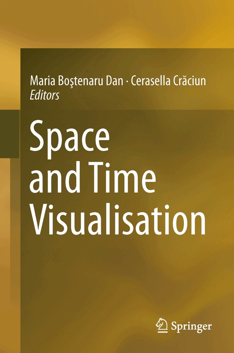
    Space and Time Visualisation

    AvMaria Boştenaru Dan,Cerasella Crăciun

    Inbunden, Engelska, 2016

    1 087 kr

    Beställningsvara. Skickas inom 10-15 vardagar. Fri frakt över 249 kr.

    Beskrivning

    This book explores expertise relevant for two working groups of NeDiMAH, a European Science Foundation (ESF) funded Research Networking Programme. It examines mapping methods, procedures, tools, criticism, awareness, challenges and solutions around the concepts of “Space and Time” and “Information Visualization”. The chapters explore digital methods in the representation of natural disasters, industrial design, cultural, and the history of architecture. The conclusions link to related research and present suggestions for further work including representing landscape not just as another 3D model but as historic evolution with specialised tools.

    Produktinformation

    • Utgivningsdatum:2016-07-27
    • Mått:155 x 235 x 24 mm
    • Vikt:670 g
    • Format:Inbunden
    • Språk:Engelska
    • Antal sidor:318
    • Upplaga:16001
    • Förlag:Springer International Publishing AG
    • ISBN:9783319249407

    Utforska kategorier

    • Geografi inom Naturvetenskap och teknik

    Innehållsförteckning

    • Introduction: the context of participation of Romania to the NeDiMAH RNP.- Section 1: Digital landscape.- The Natural, Anthropogenic and Cultural Landscape between Space and Time. Case study: The Lost Gardens of Bucharest.- Lost landscapes: in search of cartographic evidence.- Towards a New Design and Teaching Methodology for Large-scale Landscape Design in the Era of Digital Overload.- Section 2: Digital art history.- The Social Network behind an Architectural Style over Space and Time.- ARCHIVES (Building In Time).- Memories and the City: Addressing Heritage from the Perspective of Urbanity.-Section 3: Digital art.- New Media in Architecture – Media Facades.- Digital Art Conservation – the book and an itinerant exhibition resulting from a European project.- Section 4: Virtual reality.- Lost Cities in the Digital Era: The case of pre-earthquake Lisbon.- e-Installation: Synesthetic Documentation of Media Art via Telepresence Technologies.- Section 5: Virtual recording.- A Remote Sensing and Geo-Informatics approach in watershed planning of Irrigation Tanks connected with Batticaloa Lagoon: A case study of Unnichchai watershed.- Building survey system for the representation of the load bearing structure.- Geographical Information Systems as environmental, landscape and urban planning and research tools. Romania as a case study.- Section 6: Digital representation of hazards.- Dam-break flood assessment using GIS. Study Case: Bicaz-Izvorul Muntelui (Romania).- Limits and Possibilities of Computer Support in Priority Setting for Earthquake Risk Reduction.- Conclusion.