Häftad, Engelska, 2016
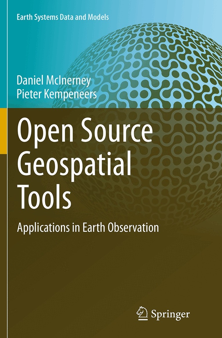
Open Source Geospatial Tools
Av Daniel McInerney, Pieter Kempeneers
1111 kr
Skickas inom 10-15 vardagar
Beskrivning
This book focuses on the use of open source software for geospatial analysis. It demonstrates the effectiveness of the command line interface for handling both vector, raster and 3D geospatial data. Appropriate open-source tools for data processing are clearly explained and discusses how they can be used to solve everyday tasks.A series of fully worked case studies are presented including vector spatial analysis, remote sensing data analysis, landcover classification and LiDAR processing. A hands-on introduction to the application programming interface (API) of GDAL/OGR in Python/C++ is provided for readers who want to extend existing tools and/or develop their own software.
Produktinformation
- Utgivningsdatum: 2016-09-10
- Mått: 155 x 235 x 21 mm
- Vikt: 587 g
- Format: Häftad
- Språk: Engelska
- Antal sidor: 358
- Förlag: Springer International Publishing AG
- Serie: Earth Systems Data and Models (del 3)
- ISBN: 9783319346250
Utforska kategorier
Betyg & recensioner
0 recensioner
Inga recensioner tillgängliga.