• Fri frakt över 249 kr
  • •
  • Snabba leveranser
  • •
  • Billiga böcker
Kundservice

Du är på sajten för privatpersoner.

Företag, bibliotek eller offentlig verksamhet?

Du handlar på classic.bokus.com, där alla dina funktioner finns intakta.
Till classic.bokus.com
Bokus logotyp. Gå till startsidan.
  • Erbjudanden
  • Nyheter
  • Student
  • Topplistor
  • Barn & ungdom
  • Bokus Play
  • E-böcker
  • Pocketböcker
  • Spel & pussel

10% rabatt på allt med kod: NYSTART10 →

Sidfot

Mina sidor

    Hjälp

    • Kundservice
    • Vanliga frågor och svar
    • Frakt och leverans
    • Retur vid ångerrätt
    • Reklamera vara
    • Betalning
    • Köpvillkor
    • Allmänna villkor
    • Information om webbplatsens tillgänglighet

    Om Bokus

    • Om oss
    • Pressrum
    • För studenter
    • För företag
    • För bibliotek och offentlig verksamhet
    • För leverantörer
    • Hållbarhet

    Populärt

    • Aktuella erbjudanden
    • Presentkort
    • Studentlitteratur
    • Nya böcker
    • Topplistor
    • Signerade böcker
    • Engelska böcker

    Inspiration

    • Boktips
    • BookTok
    • Populära bokserier
    • Barnbokskaraktärer
    • Populära författare
    Logotyp för Bokus
    Följ oss på Facebook (extern länk)Följ oss på Instagram (extern länk)Följ oss på YouTube (extern länk)Följ oss på TikTok (extern länk)
    bokus @ CookiesAnpassa cookiesIntegritetspolicyKöpvillkor
    Till Citymail hemsida (extern länk)Till Budbee hemsida (extern länk)Till Postnord hemsida (extern länk)Till Schenker hemsida (extern länk)Till Early Bird hemsida (extern länk)Till Walleys hemsida (extern länk)
    1. Data och IT
    2. Tillämpad datateknik

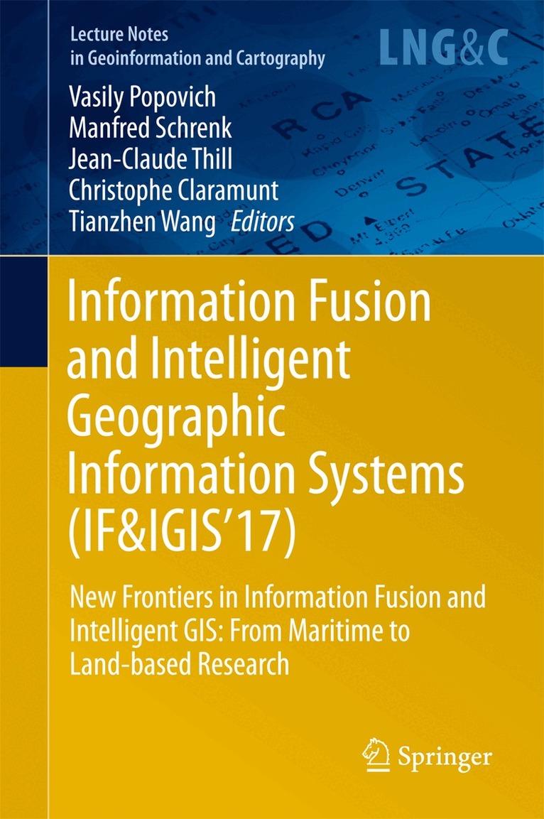
    Information Fusion and Intelligent Geographic Information Systems (IF&IGIS'17)

    New Frontiers in Information Fusion and Intelligent GIS: From Maritime to Land-based Research

    AvVasily Popovich,Manfred Schrenk

    Inbunden, Engelska, 2017

    Del i serien Lecture Notes in Geoinformation and Cartography

    1 626 kr

    Beställningsvara. Skickas inom 10-15 vardagar. Fri frakt över 249 kr.

    Beskrivning

    This book presents the proceedings of the 8th international Symposium “Information Fusion and Intelligent Geographic Information Systems 2017” (IF&ICIS'2017), which took place at Shanghai Maritime University, China, from May 10 to 12, 2017. The goal of the symposium was to bring together leading global experts in the field of spatial information integration and intelligent GIS (IGIS) to exchange cutting-edge research ideas and experiences, to discuss perspectives on the fast-paced development of geospatial information theory, methods and models in order to demonstrate the latest advances in IGIS and discover new ways of collaboration. The topics focus on IGIS fundamentals, models, technologies and services in maritime research, such as underwater acoustics, radiolocation, navigation, marine energy, logistics, environmental management, seafood, safety of maritime navigation and others. In addition the book discusses the integration of IGIS technologies in the emerging field of digital humanities research.

    Produktinformation

    • Utgivningsdatum:2017-07-25
    • Mått:155 x 235 x 21 mm
    • Vikt:594 g
    • Format:Inbunden
    • Språk:Engelska
    • Serie:Lecture Notes in Geoinformation and Cartography
    • Antal sidor:269
    • Upplaga:17001
    • Förlag:Springer International Publishing AG
    • ISBN:9783319595382

    Utforska kategorier

    • Tillämpad datateknik inom Data och IT
    • Geografi inom Naturvetenskap och teknik

    Innehållsförteckning

    • Part 1: Data Modelling, Integration, Fusion and Analysis in IGIS.- Space Theory for Intelligent GIS.- Detecting Attribute-based Homogeneous Patches Using Spatial Clustering: A Comparison Test.- Part 2: Maritime Traffic Control Methods.- Vessel scheduling optimization in different types of waterway.- The Route Planning for Vessel Based on the Dynamic Complexity Map.- Part 3: IGIS integration with acoustic, remote sensing and radar systems.- Calibration and verification of the models defining radar visibility zones in marine geoinformation systems.- Geoinformational Support of Search Efforts Distribution in Changing Environmental Conditions.- Part 4: Ports, Maritime Transportation and Logistics.- Community Structures in Networks of Disaggregated Cargo Flows to Maritime Ports.- Simulation Modeling of Maritime Monitoring Systems with Application of Information Technology Complex.- Part 5: IGIS for Land-based Research.- ST-PF: Spatio-Temporal Particle Filter for Floating Car Data Pre-processing.- Geochronologic Tracking – Specialized GIS Analysis Tool for Historic Research.