E-bok, Engelska, 2019
Using Historical Maps in Scientific Studies
Av Craig A. Knoblock, Johannes H. Uhl, Stefan Leyk, Weiwei Duan, Yao-Yi Chiang
734 kr
Läs direkt i Bokus Reader – eller ladda ned till din enhet
Beskrivning
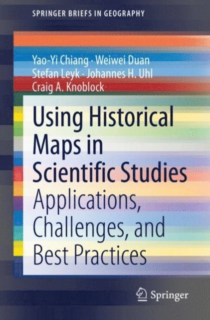
This book illustrates the first connection between the map user community and the developers of digital map processing technologies by providing several applications, challenges, and best practices in working with historical maps. After the introduction chapter, in this book, Chapter 2 presents a variety of existing applications of historical maps to demonstrate varying needs for processing historical maps in scientific studies (e.g., thousands of historical maps from a map series vs. a few historical maps from various publishers and with different cartographic styles). Chapter 2 also describes case studies introducing typical types of semi-automatic and automatic digital map processing technologies.
The case studies showcase the strengths and weaknesses of semi-automatic and automatic approaches by testing them in a symbol recognition task on the same scanned map. Chapter 3 presents the technical challenges and trends in building a map processing, modeling, linking, and publishing framework. The framework will enable querying historical map collections as a unified and structured spatiotemporal source in which individual geographic phenomena (extracted from maps) are modeled (described) with semantic descriptions and linked to other data sources (e.g., DBpedia, a structured version of Wikipedia). Chapter 4 dives into the recent advancement in deep learning technologies and their applications on digital map processing. The chapter reviews existing deep learning models for their capabilities on geographic feature extraction from historical maps and compares different types of training strategies. A comprehensive experiment is described to compare different models and their performance.
Historical maps are fascinating to look at and contain valuable retrospective place information difficult to find elsewhere. However, the full potential of historical maps has not been realized because the users of scanned historical maps and the developers of digital map processing technologies are from a wide range of disciplines and often work in silos. Each chapter in this book can be read individually, but the order of chapters in this book helps the reader to first understand the “product requirements” of a successful digital map processing system, then review the existing challenges and technologies, and finally follow the more recent trend of deep learning applications for processing historical maps.
The primary audience for this book includes scientists and researchers whose work requires long-term historical geographic data as well as librarians. The secondary audience includes anyone who loves maps!
Produktinformation
- Utgivningsdatum: 2019-11-17
- Språk: Engelska
- Filformat: EPUB
- Kopieringsskydd: LCP
- ISBN: 9783319669083
- Förlag: Springer International Publishing
Utforska kategorier
Betyg & recensioner
0 recensioner
Inga recensioner tillgängliga.