• Fri frakt över 249 kr
  • •
  • Snabba leveranser
  • •
  • Billiga böcker
Kundservice

Du är på sajten för privatpersoner.

Företag, bibliotek eller offentlig verksamhet?

Du handlar på classic.bokus.com, där alla dina funktioner finns intakta.
Till classic.bokus.com
Bokus logotyp. Gå till startsidan.
  • Erbjudanden
  • Nyheter
  • Student
  • Topplistor
  • Barn & ungdom
  • Bokus Play
  • E-böcker
  • Pocketböcker
  • Spel & pussel

10% rabatt på allt med kod NYSTART10 →

Sidfot

Mina sidor

    Hjälp

    • Kundservice
    • Vanliga frågor och svar
    • Frakt och leverans
    • Retur vid ångerrätt
    • Reklamera vara
    • Betalning
    • Köpvillkor
    • Allmänna villkor
    • Information om webbplatsens tillgänglighet

    Om Bokus

    • Om oss
    • Pressrum
    • För studenter
    • För företag
    • För bibliotek och offentlig verksamhet
    • För leverantörer
    • Hållbarhet

    Populärt

    • Aktuella erbjudanden
    • Presentkort
    • Studentlitteratur
    • Nya böcker
    • Topplistor
    • Signerade böcker
    • Engelska böcker

    Inspiration

    • Boktips
    • BookTok
    • Populära bokserier
    • Barnbokskaraktärer
    • Populära författare
    Logotyp för Bokus
    Följ oss på Facebook (extern länk)Följ oss på Instagram (extern länk)Följ oss på YouTube (extern länk)Följ oss på TikTok (extern länk)
    bokus @ CookiesAnpassa cookiesIntegritetspolicyKöpvillkor
    Till Citymail hemsida (extern länk)Till Budbee hemsida (extern länk)Till Postnord hemsida (extern länk)Till Schenker hemsida (extern länk)Till Early Bird hemsida (extern länk)Till Walleys hemsida (extern länk)
    1. Data och IT
    2. Databaser

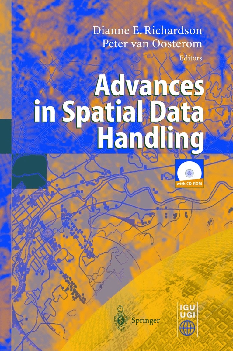
    Advances in Spatial Data Handling

    10th International Symposium on Spatial Data Handling

    AvD. Richardson,P. Van Oosterom

    Inbunden, Engelska, 2002

    2 164 kr

    Beställningsvara. Skickas inom 10-15 vardagar. Fri frakt över 249 kr.

    Beskrivning

    This book is a compendium of peer reviewed papers resulting from the International Symposium on Spatial Data Handling (SDH), held in Ottawa, Canada, July 9-12, 2002. It presents a selection of papers that demonstrate a maturing in geographical information science (GISc). Of the many challenges under the general topic of spatial data handling, a number of key areas provide the focus for this book. They tackle issues such as database design and architecture, interoperability, integration, fusion, spatial reasoning, visualisation and web-based mapping, among a number of other aspects.

    Produktinformation

    • Utgivningsdatum:2002-07-08
    • Mått:155 x 235 x 36 mm
    • Vikt:1 021 g
    • Format:Inbunden
    • Språk:Engelska
    • Antal sidor:562
    • Upplaga:2002
    • Förlag:Springer-Verlag Berlin and Heidelberg GmbH & Co. KG
    • ISBN:9783540438021

    Utforska kategorier

    • Databaser inom Data och IT
    • Geografi inom Naturvetenskap och teknik

    Innehållsförteckning

    • A Decision Tree for Multi-Layered Spatial Data.- Computational and Visual Support for Geographical Knowledge Construction: Filling in the Gaps Between Exploration and Explanation.- Polygonization of Point Clusters through Cluster Boundary Extraction for Geographical Data Mining.- The Impact of Filtering on Spatial Continuous Queries.- An Object Model for Geologic Map Information.- Indexing and Browsing Digital Maps with Intelligent Thumbnails.- Modelling and Manipulating Multiple Representations of Spatial Data.- Terrain Modelling Based on Contours and Slopes.- Siting Observers on Terrain.- An Agent-Based Framework for Polygonal Subdivision Generalisation.- Template Matching in Support of Generalisation of Rural Buildings.- Minimising Positional Errors in Line Simplification Using Adaptive Tolerance Values.- A New Merging Process for Data Integration Based on the Discrete Fréchet Distance.- Above-Ground Biomass Estimation of Successional and Mature Forests Using TM Images in the Amazon Basin.- Grid Computing for Real Time Distributed Collaborative Geoprocessing.- The Balance Between Geometry and Topology.- STOQL: An ODMG-Based Spatio-Temporal Object Model and Query Language.- A Semantics for Version Queries in GIS Databases.- A Differential Spatio-temporal Model: Primitives and Operators.- A QTM-based Algorithm for Generation of the Voronoi Diagram on a Sphere.- The Dimensional Model: A Framework to Distinguish Spatial Relationships.- A Quantitative Description of Spatial Configurations.- Implementing Topological Predicates for Complex Regions.- Route Specifications with a Linear Dual Graph.- Projecting a Regular Grid onto a Sphere or Ellipsoid.- Creating Spatial Information: Commissioning the UK Land Cover Map 2000.- A Methodology for Updating Geographic DatabasesUsing Map Versions.- Revealing Uncertainty in Maps of Glacial Lake Algonquin.- Spatio-Temporal Methods to Reduce Data Uncertainty in Restricted Movement on a Road Network.- Quantifying Uncertainty of Digital Elevation Models Derived from Topographic Maps.- Detecting Building Alignments for Generalisation Purposes.- Temporal GIS and Statistical Modelling of Personal Lifelines.- Urban Simulation Using Neural Networks and Cellular Automata for Land Use Planning.- Creation of the Anamorphoses-Based 3D-Pyramidal Block-Diagrams.- Schematic Networks: An Algorithm and its Implementation.- Developing Lightweight, Data-Driven Exploratory Geo-visualisation Tools for the Web.- GAP-Tree Extensions Based on Skeletons.- Improving Automated Generalisation for On-Demand Web Mapping by Multiscale Databases.- Map Samples to Help GI Users Specify their Needs.- Representation of Map Objects with Semi-Structured Data Models.