• Fri frakt över 249 kr
  • •
  • Snabba leveranser
  • •
  • Billiga böcker
Kundservice

Du är på sajten för privatpersoner.

Företag, bibliotek eller offentlig verksamhet?

Du handlar på classic.bokus.com, där alla dina funktioner finns intakta.
Till classic.bokus.com
Bokus logotyp. Gå till startsidan.
  • Erbjudanden
  • Nyheter
  • Student
  • Topplistor
  • Barn & ungdom
  • Bokus Play
  • E-böcker
  • Pocketböcker
  • Spel & pussel

10% rabatt på allt med kod NYSTART10 →

Sidfot

Mina sidor

    Hjälp

    • Kundservice
    • Vanliga frågor och svar
    • Frakt och leverans
    • Retur vid ångerrätt
    • Reklamera vara
    • Betalning
    • Köpvillkor
    • Allmänna villkor
    • Information om webbplatsens tillgänglighet

    Om Bokus

    • Om oss
    • Pressrum
    • För studenter
    • För företag
    • För bibliotek och offentlig verksamhet
    • För leverantörer
    • Hållbarhet

    Populärt

    • Aktuella erbjudanden
    • Presentkort
    • Studentlitteratur
    • Nya böcker
    • Topplistor
    • Signerade böcker
    • Engelska böcker

    Inspiration

    • Boktips
    • BookTok
    • Populära bokserier
    • Barnbokskaraktärer
    • Populära författare
    Logotyp för Bokus
    Följ oss på Facebook (extern länk)Följ oss på Instagram (extern länk)Följ oss på YouTube (extern länk)Följ oss på TikTok (extern länk)
    bokus @ CookiesAnpassa cookiesIntegritetspolicyKöpvillkor
    Till Citymail hemsida (extern länk)Till Budbee hemsida (extern länk)Till Postnord hemsida (extern länk)Till Schenker hemsida (extern länk)Till Early Bird hemsida (extern länk)Till Walleys hemsida (extern länk)
    1. Naturvetenskap och teknik
    2. Geovetenskap
    3. Geografi

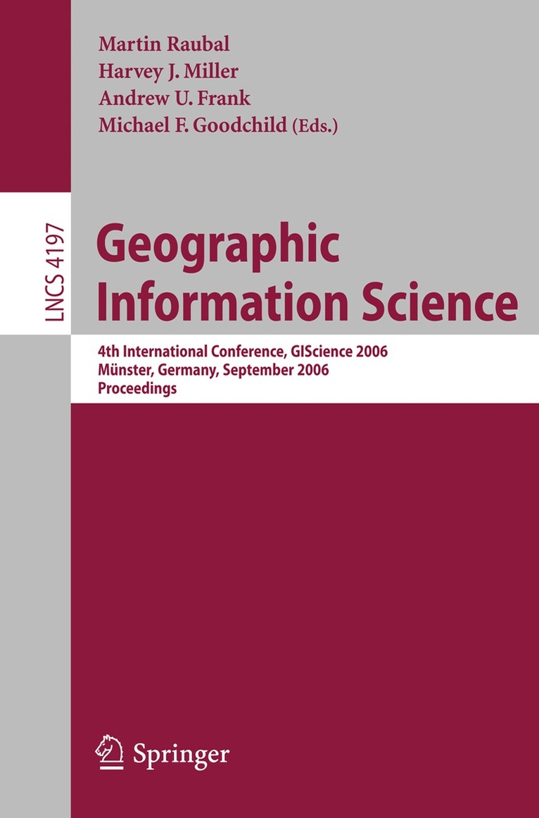
    Geographic Information Science

    4th International Conference, GIScience 2006, Münster, Germany, September 20-23, 2006, Proceedings

    AvMartin Raubal,Harvey J. Miller

    Häftad, Engelska, 2006

    Del i serien Lecture Notes in Computer Science

    546 kr

    Beställningsvara. Skickas inom 10-15 vardagar. Fri frakt över 249 kr.

    Beskrivning

    The GIScience conference series (www. giscience. org) was created as a forum for all researchers who are interested in advancing research in the fundam- tal aspects of geographic information science. Starting with GIScience 2000 in Savannah, Georgia, USA, the conferences have been held biennially, bringing together a highly interdisciplinary group of scientists from academia, industry, and governmentto analyze progressand to explore new researchdirections. The conferences focus on emerging topics and basic research ?ndings across all s- tors of geographic information science. After three highly successful conferences in the United States, this year’s GIScience conference was held in Europe for the ?rst time. The GIScience conferences have been a meeting point for researchers coming from various disciplines, including cognitive science, computer science, engine- ing, geography,information science, mathematics, philosophy, psychology,social science, and statistics. The advancement of geographic information science - quiressuchinterdisciplinarybreadth,andthisisalsowhatmakestheconferences so exciting. In order to account for the di?erent needs of the involved scienti?c disciplines with regard to publishing their research results, we again organized two separate stages of paper submission: 93 full papers were each thoroughly reviewed by three Program Committee members and 26 were selected for p- sentation at the conference and inclusion in this volume. Then, 159 extended abstracts, describing work in progress, were screened by two Program Comm- tee members each. Subsequently, 42 of them were selected for oral presentation, and 46 for poster presentation at the conference.

    Produktinformation

    • Utgivningsdatum:2006-09-19
    • Mått:155 x 235 x 24 mm
    • Vikt:663 g
    • Format:Häftad
    • Språk:Engelska
    • Serie:Lecture Notes in Computer Science
    • Antal sidor:422
    • Förlag:Springer-Verlag Berlin and Heidelberg GmbH & Co. KG
    • ISBN:9783540445265

    Utforska kategorier

    • Geografi inom Naturvetenskap och teknik

    Innehållsförteckning

    • A Social and Spatial Network Approach to the Investigation of Research Communities over the World Wide Web.- Projective Relations in a 3D Environment.- A Multi-resolution Representation for Terrain Morphology.- A Spatiotemporal Model of Strategies and Counter Strategies for Location Privacy Protection.- Incorporating Landmarks with Quality Measures in Routing Procedures.- What Is the Region Occupied by a Set of Points?.- Voronoi Hierarchies.- Characterising Meanders Qualitatively.- Landmarks in OpenLS — A Data Structure for Cognitive Ergonomic Route Directions.- Status Functions, Collective Intentionality: Matters of Trust for Geospatial Information Sharing.- Pattern Recognition in Road Networks on the Example of Circular Road Detection.- Implementing Anchoring.- Generating Raster DEM from Mass Points Via TIN Streaming.- Towards a Similarity-Based Identity Assumption Service for Historical Places.- Coupling Bayesian Networks with GIS-Based Cellular Automata for Modeling Land Use Change.- Orientation Calculi and Route Graphs: Towards Semantic Representations for Route Descriptions.- Incremental Rank Updates for Moving Query Points.- The Head-Body-Tail Intersection for Spatial Relations Between Directed Line Segments.- A GIS-Based Approach for Urban Multi-criteria Quasi Optimized Route Guidance by Considering Unspecified Site Satisfaction.- Ontological Analysis of Observations and Measurements.- Splitting the Linear Least Squares Problem for Precise Localization in Geosensor Networks.- The Spatial Dimensions of Multi-Criteria Evaluation – Case Study of a Home Buyer’s Spatial Decision Support System.- Graph-Based Navigation Strategies for Heterogeneous Spatial Data Sets.- Correlation Analysis of Discrete Motions.- Representing Topological Relationships for MovingObjects.- UMN-MapServer: A High-Performance, Interoperable, and Open Source Web Mapping and Geo-spatial Analysis System.