• Fri frakt över 249 kr
  • •
  • Snabba leveranser
  • •
  • Billiga böcker
Kundservice

Du är på sajten för privatpersoner.

Företag, bibliotek eller offentlig verksamhet?

Du handlar på classic.bokus.com, där alla dina funktioner finns intakta.
Till classic.bokus.com
Bokus logotyp. Gå till startsidan.
  • Erbjudanden
  • Nyheter
  • Student
  • Topplistor
  • Barn & ungdom
  • Bokus Play
  • E-böcker
  • Pocketböcker
  • Spel & pussel

Må bättre, för mindre! Upp till 50% rabatt på hälsoböcker

Sidfot

Mina sidor

    Hjälp

    • Kundservice
    • Vanliga frågor och svar
    • Frakt och leverans
    • Retur vid ångerrätt
    • Reklamera vara
    • Betalning
    • Köpvillkor
    • Allmänna villkor
    • Information om webbplatsens tillgänglighet

    Om Bokus

    • Om oss
    • Pressrum
    • För studenter
    • För företag
    • För bibliotek och offentlig verksamhet
    • För leverantörer
    • Hållbarhet

    Populärt

    • Aktuella erbjudanden
    • Presentkort
    • Studentlitteratur
    • Nya böcker
    • Topplistor
    • Signerade böcker
    • Engelska böcker

    Inspiration

    • Boktips
    • BookTok
    • Populära bokserier
    • Barnbokskaraktärer
    • Populära författare
    Logotyp för Bokus
    Följ oss på Facebook (extern länk)Följ oss på Instagram (extern länk)Följ oss på YouTube (extern länk)Följ oss på TikTok (extern länk)
    bokus @ CookiesAnpassa cookiesIntegritetspolicyKöpvillkor
    Till Citymail hemsida (extern länk)Till Budbee hemsida (extern länk)Till Postnord hemsida (extern länk)Till Schenker hemsida (extern länk)Till Early Bird hemsida (extern länk)Till Walleys hemsida (extern länk)
    1. Naturvetenskap och teknik
    2. Geovetenskap
    3. Geografi

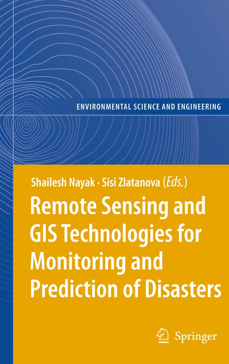
    Remote Sensing and GIS Technologies for Monitoring and Prediction of Disasters

    AvShailesh Nayak,Sisi Zlatanova

    Inbunden, Engelska, 2008

    Del i serien Environmental Science and Engineering

    1 626 kr

    Beställningsvara. Skickas inom 10-15 vardagar. Fri frakt över 249 kr.

    Beskrivning

    Lessons learned in the last several years have given clear indications that the prediction and efficient monitoring of disasters is one of the critical factors in decision-making process. In this respect space-based technologies have the great potential of supplying information in near real time. Earth observation satellites have already demonstrated their flexibility in providing data to a wide range of applications: weather forecasting, person and vehicle tracking, alerting to disaster, forest fire and flood monitoring, oil spills, spread of desertification, monitoring of crop and forestry damages.This book focuses on a wider utilisation of remote sensing in disaster management. The discussed aspects comprise data access/delivery to the users, information extraction and analysis, management of data and its integration with other data sources (airborne and terrestrial imagery, GIS data, etc.), data standardization, organisational and legal aspects of sharing remote sensing information.

    Produktinformation

    • Utgivningsdatum:2008-07-25
    • Mått:155 x 235 x 20 mm
    • Vikt:594 g
    • Format:Inbunden
    • Språk:Engelska
    • Serie:Environmental Science and Engineering
    • Antal sidor:272
    • Upplaga:2008
    • Förlag:Springer-Verlag Berlin and Heidelberg GmbH & Co. KG
    • ISBN:9783540792581

    Utforska kategorier

    • Geografi inom Naturvetenskap och teknik

    Recensioner i media

    From the reviews: "The book has brought together a wide variety of remote sensing and GIS applications and their integrations with other techniques for disaster management and emergency response handling. Inclusion of practical examples drawn from case studies makes it easier for the reader to understand the theoretical concepts. ... a basic guide for the beginners who are interested in gaining technical expertise in the field of remote sensing and GIS applications for disaster management and emergency response handling." (Ranjani Wasantha Kulawardhana, International Journal of Digital Earth, Vol. 4 (6), November, 2011)

    Innehållsförteckning

    • Use of Geo-Information technology in large disasters.- Geoinformation-Based Response to the 27 May Indonesia Earthquake – an Initial Assessment.- The Application of Geo-Technologies after Hurricane Katrina.- Application of Remote Sensing for Damage Assessment of Coastal Ecosystems in India due to the December 2004 Tsunami.- Increasing the Use of Geospatial Technologies for Emergency Response and Disaster Rehabilitation in Developing Countries.- Remote Sensing Technology for Disaster Monitoring.- Adopting Multisensor Remote Sensing Datasets and Coupled Models for Disaster Management.- Nearshore Coastal Processes Between Karwar and Bhatal, Central West Coast of India: Implications for Pollution Dispersion.- Landslide Hazard Zonation in Darjeeling Himalayas: a Case Study on Integration of IRS and SRTM Data.- Monitoring and Interpretation of Urban Land Subsidence Using Radar Interferometric Time Series and Multi-Source GIS Database.- Extending the Functionality of the Consumer-Grade GPS for More Efficient GIS and Mapping Applications.- System Architectures for Access of Geo-Information.- Interoperable Access Control for Geo Web Services in Disaster Management.- Spatial Data Infrastructure for Emergency Response in Netherlands.- Geocollaboration in Hazard, Risk and Response: Practical Experience with Real-Time Geocollaboration at Québec Civil Security.- On-line Street Network Analysis for Flood Evacuation Planning.- Multi-user tangible interfaces for effective decision-making in disaster management.