• Fri frakt över 249 kr
  • •
  • Snabba leveranser
  • •
  • Billiga böcker
Kundservice

Du är på sajten för privatpersoner.

Företag, bibliotek eller offentlig verksamhet?

Du handlar på classic.bokus.com, där alla dina funktioner finns intakta.
Till classic.bokus.com
Bokus logotyp. Gå till startsidan.
  • Erbjudanden
  • Student
  • Topplistor
  • Barn & ungdom
  • Bokus Play
  • E-böcker
  • Ljudböcker
  • Pocketböcker
  • Spel och pussel

Pocketfynda! Hundratals böcker för 49 kr/st →

Sidfot

Mina sidor

    Hjälp

    • Kundservice
    • Vanliga frågor och svar
    • Frakt och leverans
    • Retur vid ångerrätt
    • Reklamera vara
    • Betalning
    • Köpvillkor
    • Allmänna villkor
    • Information om webbplatsens tillgänglighet

    Om Bokus

    • Om oss
    • Pressrum
    • För studenter
    • För företag
    • För bibliotek och offentlig verksamhet
    • För leverantörer
    • Hållbarhet

    Populärt

    • Aktuella erbjudanden
    • Presentkort
    • Studentlitteratur
    • Nya böcker
    • Topplistor
    • Signerade böcker
    • Engelska böcker

    Inspiration

    • Boktips
    • BookTok
    • Barnbokskaraktärer
    • Populära författare
    Logotyp för Bokus
    Följ oss på Facebook (extern länk)Följ oss på Instagram (extern länk)Följ oss på YouTube (extern länk)Följ oss på TikTok (extern länk)
    bokus @ CookiesAnpassa cookiesIntegritetspolicyKöpvillkor
    Till Citymail hemsida (extern länk)Till Budbee hemsida (extern länk)Till Postnord hemsida (extern länk)Till Schenker hemsida (extern länk)Till Early Bird hemsida (extern länk)Till Walleys hemsida (extern länk)
    1. Naturvetenskap och teknik
    2. Geovetenskap
    3. Geovetenskap

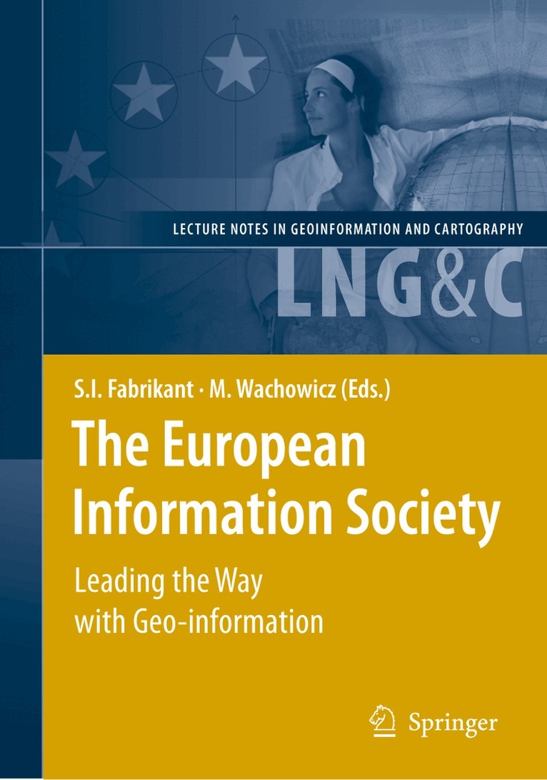
    European Information Society

    Leading the Way with Geo-information

    AvSara Fabrikant,Monica Wachowicz

    Häftad, Engelska, 2010

    Del i serien Lecture Notes in Geoinformation and Cartography

    2 149 kr

    Beställningsvara. Skickas inom 10-15 vardagar. Fri frakt över 249 kr.

    Beskrivning

    The Association of Geographic Information Laboratories for Europe (AGILE) conferences provide a multidisciplinary forum for an increasingly varied landscape of scientific knowledge production and dissemination, to th GI Scientists from around the world. This year’s landmark 10 AGILE Conference, held at the top of Europe in Aalborg, Denmark, brought a number of significant changes to the well-established conference series. For the first time the call for papers included a full-paper submission track of original, unpublished, fundamental scientific research, the results of which you will find published in this volume. The response for this call provides ample evidence that GI Science and Systems are alive and well in Europe. Twenty-eight papers (out of 62 submissions) were accepted for this volume (acceptance rate: 45%). Judging by the author’s affiliations in this volume, the diverse AGILE Community includes (but is not limited to) computer scientists, geographers, geomatic engineers, GI Science pr- titioners, just to mention a few. The breadth of submissions reflects a vibrant and globally interc- nected GI Science community. You will find contributions from all four corners of Europe, as well as from China, Japan, and the United States.

    Produktinformation

    • Utgivningsdatum:2010-11-25
    • Mått:155 x 235 x 28 mm
    • Vikt:768 g
    • Format:Häftad
    • Språk:Engelska
    • Serie:Lecture Notes in Geoinformation and Cartography
    • Antal sidor:488
    • Förlag:Springer-Verlag Berlin and Heidelberg GmbH & Co. KG
    • ISBN:9783642091452

    Utforska kategorier

    • Geovetenskap inom Naturvetenskap och teknik
    • Geografi inom Naturvetenskap och teknik

    Innehållsförteckning

    • GI Education In Europe.- Enabling P2P Cooperative WMS Proxy Caching and Prefetching in an Educational Environment.- An ontological-based approach to Geographic Information Science curricula design.- Advances in Applied GI Research.- An Adaptive Land-use Simulation Model for Integrated Coastal Zone Planning.- Delineation of individual tree crowns for LiDAR tree and stand parameter estimation in Scottish woodlands.- Resolution Sensitivity of a Compound Terrain Derivative as Computed from LiDAR-Based Elevation Data.- Advances in Applied GI Research.- A Universal Abstract Model for Future Movements of Moving Objects.- A user context approach for adaptive and distributed GIS.- Privacy versus national security: The impact of privacy law on the use of location technology for national security purposes.- Advances in Applied GI Research.- The Aggregation of Urban Building Clusters Based on the Skeleton Partitioning of Gap Space.- Effects of Ground Surface Relief in 3D Spatial Analysis on Residential Environment.- Advanced GI Technologies.- The gazetteer content model issue: Could Spatial Data Infrastructures provide it?.- Estimating the costs of an SDI-based project.- Advanced GI Technologies.- RIMapperWMS: a Web Map Service providing SVG maps with a built-in client.- Definition and Implementation of an Active Web Map Service.- Increasing the Fitness of OGC-Compliant Web Map Services for the Web 2.0.- State-of-the-Art in GI Basic Research.- Extending the OpenGeospatials? Specification for Managing Discrete and Continuous Time Dependent Data.- Spatial Data Management Aspects in Archaeological Excavation Documentation1.- Processing Mediated Geographic Queries: a Space Partitioning Approach.- State-of-the-Art in GI Basic Research.- Towards a Mathematical Theory for Snapshot andTemporal Formal Ontologies.- Space-contained conflict revision, for geographic information.- Towards Spatial Reasoning in the Semantic Web: A Hybrid Knowledge Representation System Architecture.- State-of-the-Art in GI Basic Research.- Geospatial Information Bottom-Up: A Matter of Trust and Semantics.- Improving Spatial Data Usability By Capturing User Interactions.- Improving the Usability of Spatial Information Products and Services.- Characterising Straightness Qualitatively.- Extending Geographic Data Modeling by Adopting Constraint Decision Table to Specify Spatial Integrity Constraints.- State-of-the-Art in GI Basic Research.- A Compact Topological DBMS Data Structure For 3D Topography.- Depth Cue of Occlusion Information as Criterion for the Quality of Annotation Placement in Perspective Views.