• Fri frakt över 249 kr
  • •
  • Snabba leveranser
  • •
  • Billiga böcker
Kundservice

Du är på sajten för privatpersoner.

Företag, bibliotek eller offentlig verksamhet?

Du handlar på classic.bokus.com, där alla dina funktioner finns intakta.
Till classic.bokus.com
Bokus logotyp. Gå till startsidan.
  • Erbjudanden
  • Nyheter
  • Student
  • Topplistor
  • Barn & ungdom
  • Bokus Play
  • E-böcker
  • Pocketböcker
  • Spel & pussel

10% rabatt på allt med kod NYSTART10 →

Sidfot

Mina sidor

    Hjälp

    • Kundservice
    • Vanliga frågor och svar
    • Frakt och leverans
    • Retur vid ångerrätt
    • Reklamera vara
    • Betalning
    • Köpvillkor
    • Allmänna villkor
    • Information om webbplatsens tillgänglighet

    Om Bokus

    • Om oss
    • Pressrum
    • För studenter
    • För företag
    • För bibliotek och offentlig verksamhet
    • För leverantörer
    • Hållbarhet

    Populärt

    • Aktuella erbjudanden
    • Presentkort
    • Studentlitteratur
    • Nya böcker
    • Topplistor
    • Signerade böcker
    • Engelska böcker

    Inspiration

    • Boktips
    • BookTok
    • Populära bokserier
    • Barnbokskaraktärer
    • Populära författare
    Logotyp för Bokus
    Följ oss på Facebook (extern länk)Följ oss på Instagram (extern länk)Följ oss på YouTube (extern länk)Följ oss på TikTok (extern länk)
    bokus @ CookiesAnpassa cookiesIntegritetspolicyKöpvillkor
    Till Citymail hemsida (extern länk)Till Budbee hemsida (extern länk)Till Postnord hemsida (extern länk)Till Schenker hemsida (extern länk)Till Early Bird hemsida (extern länk)Till Walleys hemsida (extern länk)
    1. Data och IT
    2. Systemvetenskap och AI

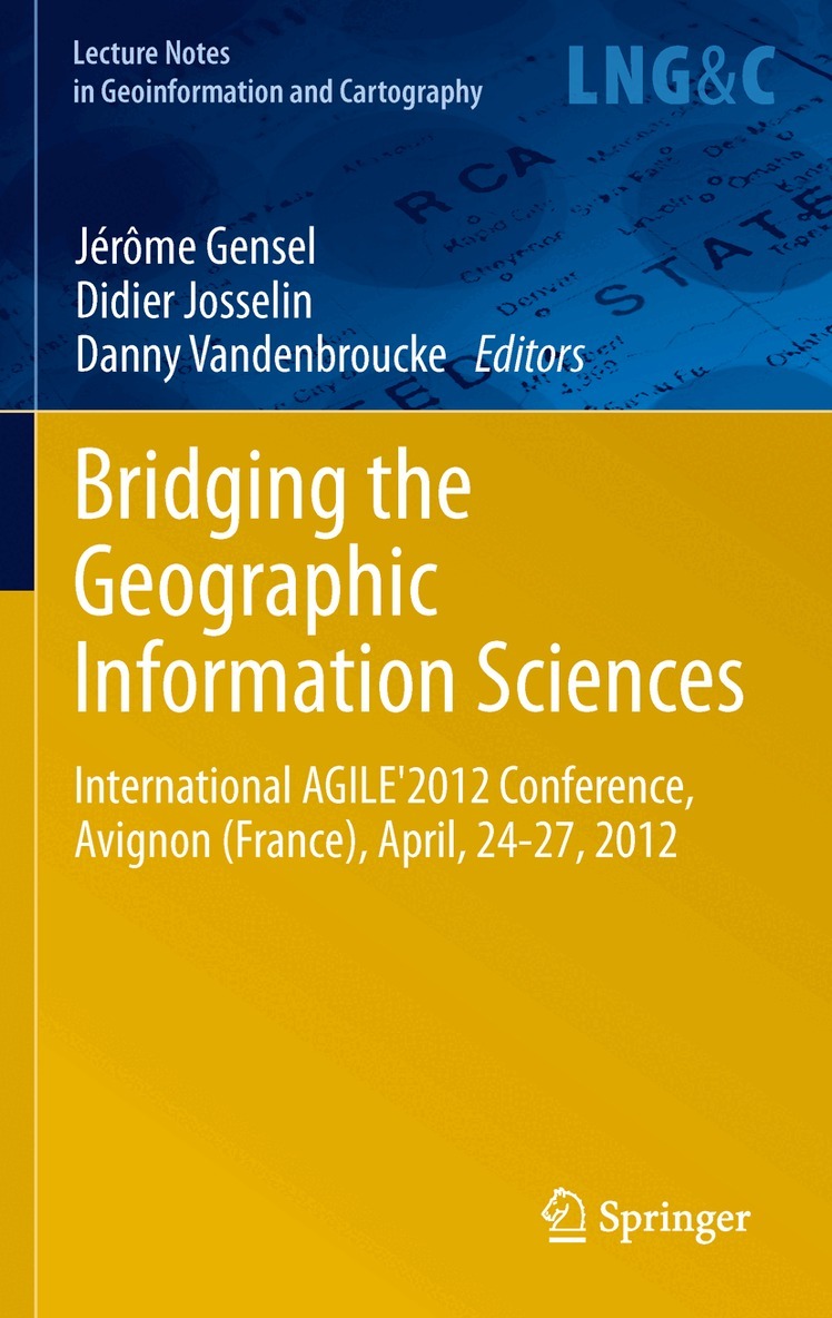
    Bridging the Geographic Information Sciences

    International AGILE'2012 Conference, Avignon (France), April, 24-27, 2012

    AvJérôme Gensel,Didier Josselin

    Inbunden, Engelska, 2012

    Del i serien Lecture Notes in Geoinformation and Cartography

    1 623 kr

    Beställningsvara. Skickas inom 10-15 vardagar. Fri frakt över 249 kr.

    Beskrivning

    For the sixth consecutive year, the AGILE conference promoted the publication a book collecting high-level scientific contributions from unpublished fundamental scientific research. The papers published in the AGILE 2012 LNG&C volume contribute substantially to Geographical Information Science developments and to the success of the 15th AGILE conference (Avignon, France, 24-27April, 2012) under the title ‘Bridging the Geographic Information Sciences’. This year’s conference emphasizes that geoinformation science, geomatics and spatial analysis are fields in which different disciplines, epistemologies and scientific cultures meet. Indeed, the scientific articles published in this volume cover a wide diversity of GIScience related themes, including: Spatio-temporal Data Modelling and Visualisation; Spatial Data Infrastructures; Geo Web Services and Geo Semantic Web; Modelling and Management of Uncertainty; Spatio-temporal Data Quality and Metadata; Mobility of Persons, Objects and Systems, Transports and Flows; Spatial Analysis, Geostatistics, and Geo Information Retrieval; Modelling and Spatial Analysis of Urban Dynamics, Urban GIS; GIS and Spatial Analysis for Global Change Modelling, Impact on Space; and Geographic Information Science: links with other disciplines and people.

    Produktinformation

    • Utgivningsdatum:2012-04-05
    • Mått:155 x 235 x 30 mm
    • Vikt:863 g
    • Format:Inbunden
    • Språk:Engelska
    • Serie:Lecture Notes in Geoinformation and Cartography
    • Antal sidor:450
    • Upplaga:2012
    • Förlag:Springer-Verlag Berlin and Heidelberg GmbH & Co. KG
    • ISBN:9783642290626

    Utforska kategorier

    • Systemvetenskap och AI inom Data och IT
    • Geografi inom Naturvetenskap och teknik

    Recensioner i media

    From the reviews: "This collection of research is both informative and helpful for understanding the current state of Geographic Information Science Research today. ... I recommend this book highly." (Jeff Thurston, 3D Visualization World Magazine, 3dvisworld.com, May, 2012)

    Innehållsförteckning

    • Usability of Spatio-Temporal Uncertainty Visualisation Methods.- Line Simplification in the Presence of Non-Planar Topological Relationships.- Critical Remarks on the Use of Conceptual Schemas in Geospatial Data Modelling – A Schema Translation Perspective.- Towards an Active Directory of Geospatial Web Services.- Spatial Sensor Web for the Prediction of Electric Power Supply System Behaviour.- Live Geoinformation with Standardized Geoprocessing Services.- Interlinking Geospatial Information in the Web of Data.- QualESTIM: Interactive Quality Assessment of Socioeconomic Data using Outlier Detection.- Distributed Integration of Spatial Data with Different Positional Accuracies.- Through a Fuzzy Spatiotemporal Information System for Handling Excavation Data.- Using Weather Information to Improve Route Planning.- Simulation of Laser Attacks against Aircrafts.