Övrigt, Engelska, Tyska, 2019
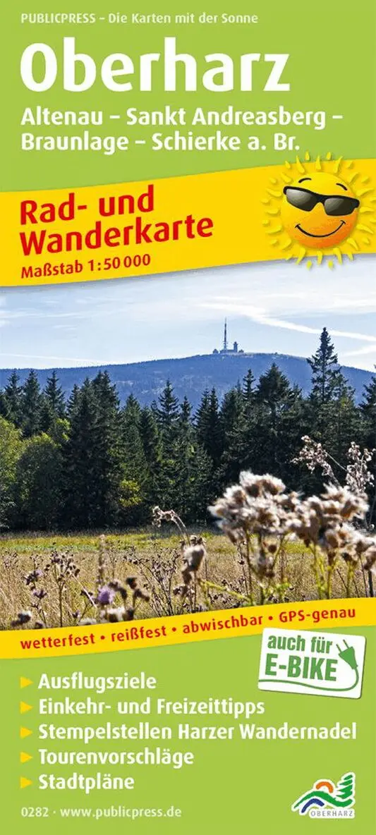
Upperharz - Altenau, St. Andreasmountain, Braunlage
Del i serien Rad- und Wanderkarte
118 kr
Beställningsvara. Skickas inom 3-6 vardagar. Fri frakt över 249 kr.
Beskrivning
The cycling and hiking map marks and describes many paths through the Harz National Park. The low mountain range with the Brocken (1,142 m above sea level) as the highest point is an ideal area for experienced cyclists and hikers. Particularly worth mentioning is a separate network of trails for mountain bikers. City maps of St.Andreasberg and Braunlage, as well as information about places and excursion destinations, help when planning your own routes.
Produktinformation
- Utgivningsdatum: 2019-03-01
- Mått: 90 x 200 x 27 mm
- Vikt: 100 g
- Format: Övrigt
- Språk: Engelska, Tyska
- Serie: Rad- und Wanderkarte
- Upplaga: 19006
- Förlag: Publicpress Publikationsgesellschaft mbH
- ISBN: 9783747302828
Utforska kategorier
Betyg & recensioner
0 recensioner
Inga recensioner tillgängliga.