• Fri frakt över 249 kr
  • •
  • Snabba leveranser
  • •
  • Billiga böcker
Kundservice

Du är på sajten för privatpersoner.

Företag, bibliotek eller offentlig verksamhet?

Du handlar på classic.bokus.com, där alla dina funktioner finns intakta.
Till classic.bokus.com
Bokus logotyp. Gå till startsidan.
  • Erbjudanden
  • Nyheter
  • Student
  • Topplistor
  • Barn & ungdom
  • Bokus Play
  • E-böcker
  • Pocketböcker
  • Spel & pussel

10% rabatt på allt med kod NYSTART10 →

Sidfot

Mina sidor

    Hjälp

    • Kundservice
    • Vanliga frågor och svar
    • Frakt och leverans
    • Retur vid ångerrätt
    • Reklamera vara
    • Betalning
    • Köpvillkor
    • Allmänna villkor
    • Information om webbplatsens tillgänglighet

    Om Bokus

    • Om oss
    • Pressrum
    • För studenter
    • För företag
    • För bibliotek och offentlig verksamhet
    • För leverantörer
    • Hållbarhet

    Populärt

    • Aktuella erbjudanden
    • Presentkort
    • Studentlitteratur
    • Nya böcker
    • Topplistor
    • Signerade böcker
    • Engelska böcker

    Inspiration

    • Boktips
    • BookTok
    • Populära bokserier
    • Barnbokskaraktärer
    • Populära författare
    Logotyp för Bokus
    Följ oss på Facebook (extern länk)Följ oss på Instagram (extern länk)Följ oss på YouTube (extern länk)Följ oss på TikTok (extern länk)
    bokus @ CookiesAnpassa cookiesIntegritetspolicyKöpvillkor
    Till Citymail hemsida (extern länk)Till Budbee hemsida (extern länk)Till Postnord hemsida (extern länk)Till Schenker hemsida (extern länk)Till Early Bird hemsida (extern länk)Till Walleys hemsida (extern länk)
    1. Naturvetenskap och teknik
    2. Geovetenskap
    3. Geografi

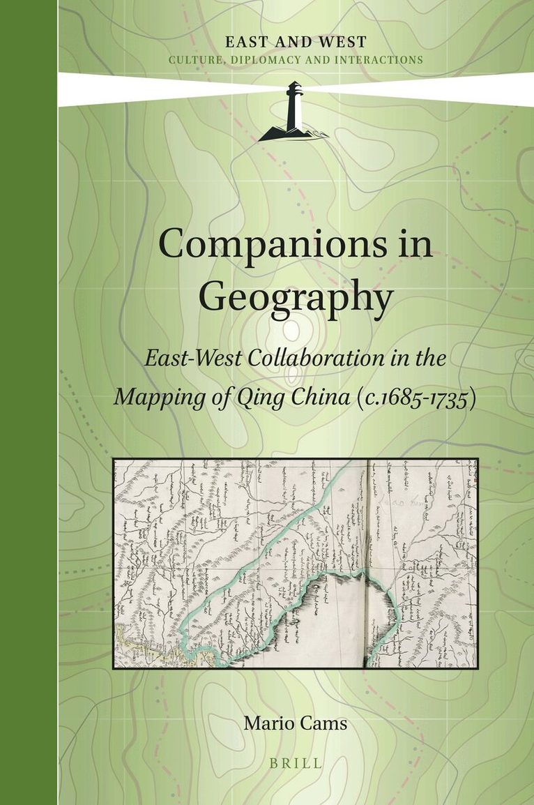
    Companions in Geography

    East-West Collaboration in the Mapping of Qing China (c. 1685-1735)

    AvMario Cams

    Inbunden, Kinesiska, 2017

    Del 1 i serien East and West

    2 325 kr

    Beställningsvara. Skickas inom 5-8 vardagar. Fri frakt över 249 kr.

    Beskrivning

    In Companions in Geography Mario Cams revisits the early 18th century mapping of Qing China, without doubt one of the largest cartographic endeavours of the early modern world. Commonly seen as a Jesuit initiative, the project appears here as the result of a convergence of interests among the French Academy of Sciences, the Jesuit order, and the Kangxi emperor (r. 1661-1722). These connections inspired the gradual integration of European and East Asian scientific practices and led to a period of intense land surveying, executed by large teams of Qing officials and European missionaries. The resulting maps and atlases, all widely circulated across Eurasia, remained the most authoritative cartographic representations of continental East Asia for over a century. This book is based on Dr. Mario Cams' dissertation, which has been awarded the "2017 DHST Prize for Young Scholars" from the International Union of the History and Philosophy of Science and Technology, Division of History of Science and Technology (IUHPST/DHST).

    Produktinformation

    • Utgivningsdatum:2017-07-06
    • Mått:155 x 235 x 23 mm
    • Vikt:600 g
    • Format:Inbunden
    • Språk:Kinesiska, Engelska
    • Serie:East and West
    • Antal sidor:282
    • Förlag:Brill
    • ISBN:9789004345355

    Utforska kategorier

    • Geografi inom Naturvetenskap och teknik

    Mer om författaren

    Mario Cams, Ph.D. (University of Leuven, 2015), is Assistant Professor at the University of Macau’s Department of History and specializes in the history of early Sino-European contacts, late imperial China, and the history of cartography

    Recensioner i media

    "This substantial and in many ways impressive work analyses map making in the Qing-dynasty empire during the reign of Kangxi emperor (1661–1722), and that of his successor Yongzheng (1722–1735). […] Cams’s book is clearly well grounded and written; it unquestionably offers valuable new insights to sinologists and researchers working on a variety of topics, opening the door for further research." Davor Antonucci, Sapienza Università di Roma (Imago Mundi 70:2 2018)

    Innehållsförteckning

    • AcknowledgementsList of IllustrationsIntroduction: Towards a New Cartography of Cross-cultural Circulation1 Situating the Study2 Delineation and Approach3 Cartography and the Jesuit Missions to China4 Chapter Overview1 Instruments for the Emperor: New Frontiers, New Practices1.1 An Instrumental Convergence of Interests1.1.1 The Académie and the Instrument Market in Paris1.1.2 The King’s Mathematicians’ Interest in Cartography1.1.3 Paris-made Instruments for the French Mission1.2 Improving Cartographies: An Emperor’s Quest1.2.1 The Kangxi Emperor’s Cartographic Aspirations1.2.2 Qing Statecraft and Cartographic Practice1.2.3 The Qing Court’s Appropriation of Paris-made Instruments1.3 Frontier Matters: New Qing Cartographic Practice1.3.1 Integrating the Khalka: Exploring a New Frontier1.3.2 The 1698 Preliminary Survey1.3.3 Re-standardizing the Qing’s Most Basic Unit of LengthConclusionIntermission One: Missionaries or Mapmakers? The Mapping Project and its Place in the MissionJustifying Missionary InvolvementThe Unauthorized Return of Joachim BouvetConclusion2 Of Instruments and Maps: The Land Surveys in Practice2.1 Beyond the Passes: Observations and Calculations2.1.1 New Qing Cartographic Practice along the Great Wall2.1.2 Revisiting the Manchu Homelands and Northern Frontiers2.1.3 Strategic Expeditions into Korea and Tibet2.2 The Logistics in Mapping the Chinese Provinces2.2.1 Moving South: Sequence, Timing and Strategies2.2.2 Directed from the Center: The Emperor and His Administration2.2.3 Team Composition and Local Support2.3 The Imperial Workshops Connection2.3.1 Mapmakers from the Inner Palace2.3.2 European Technical Experts and Assistants2.3.3 The Logistical Centrality of the Imperial WorkshopsConclusionIntermission Two: Missionaries and Mapmakers: Missionary Activity during the Land SurveysThe Restitution of Church BuildingsThe Impact of the Chinese Rites ControversyConclusion3 The Afterlife of Maps: Circulation, Adaptation, and Negotiation3.1 The Printed Life of the Overview Maps of Imperial Territories3.1.1 The Woodblock Editions3.1.2 The Copperplate Editions3.1.3 Imperially Commissioned Compilations and Later Renditions3.2 The European Incorporation of a Qing Atlas3.2.1 Early Transmissions and Reception in Europe3.2.2 Contracting Jean-Baptiste Bourguingon d’Anville3.2.3 Intercultural Adaptation: d’Anville’s Regional Maps3.3 Beijing, Paris and Saint Petersburg: Negotiating the Gaps3.3.1 d’Anville’s General Maps and the Paris-Saint Petersburg Connection3.3.2 The Saint Petersburg Connection to Beijing3.3.3 d’Anville’s Maps: Reception and Further AdaptationsConclusionAnnex: Extant Kangxi-era Sheets (Printed)Conclusion: Unlocking Dichotomies: Revisiting Cross-cultural CirculationOn Qing Imperial Cartography: Traditional vs. Scientific PracticeOn the Role of the Individual: Global vs. Local NetworksOn Instruments and Maps: The Circulation vs. the Production of KnowledgeOn Interculturality: China vs. EuropeReferences and BibliographyIndex