Häftad, Engelska, 2024
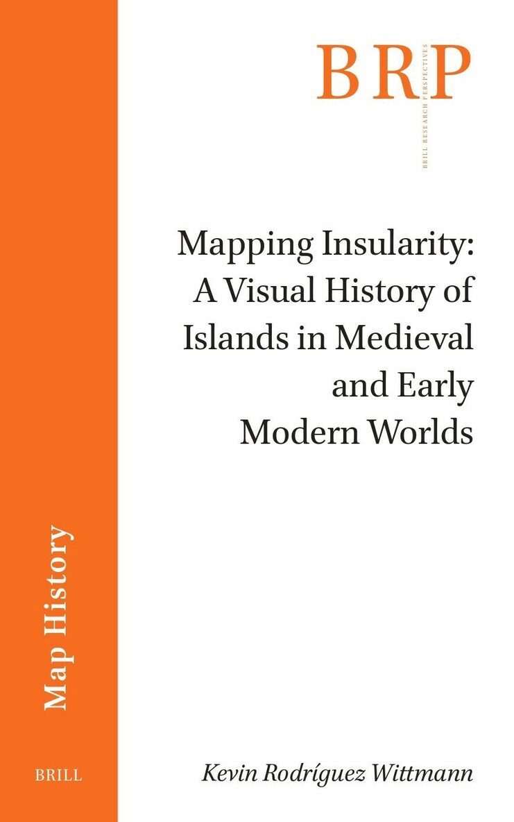
Mapping Insularity: A Visual History of Islands in Medieval and Early Modern Worlds
Del i serien Brill Research Perspectives in Map History
1250 kr
Beställningsvara. Skickas inom 3-6 vardagar. Fri frakt över 249 kr.
Beskrivning
What lies behind an island? Is an island just a piece of land surrounded by water? Or is it from a cultural, symbolic, and even geographical perspective much more than that? Considering the symbolic nature of islands as a longue durée and through the analysis of maps, texts, and historical accounts, this book explores how the depiction of insularity encodes specific meanings and analytical levels which shed light on medieval and modern worldviews.
Produktinformation
- Utgivningsdatum: 2024-10-24
- Mått: 155 x 235 x undefined mm
- Vikt: 239 g
- Format: Häftad
- Språk: Engelska
- Serie: Brill Research Perspectives in Map History
- Antal sidor: 124
- Förlag: Brill
- ISBN: 9789004716452
Utforska kategorier
Mer om författaren
Kevin Rodríguez Wittmann, Ph.D. (2021), University of La Laguna, Spain, is a postdoctoral researcher at the same university. He has published numerous articles and books on medieval and early modern maps, medieval travel literature, and cultural history.
Betyg & recensioner
0 recensioner
Inga recensioner tillgängliga.