• Fri frakt över 249 kr
  • •
  • Snabba leveranser
  • •
  • Billiga böcker
Kundservice

Du är på sajten för privatpersoner.

Företag, bibliotek eller offentlig verksamhet?

Du handlar på classic.bokus.com, där alla dina funktioner finns intakta.
Till classic.bokus.com
Bokus logotyp. Gå till startsidan.
  • Erbjudanden
  • Nyheter
  • Student
  • Topplistor
  • Barn & ungdom
  • Bokus Play
  • E-böcker
  • Pocketböcker
  • Spel & pussel

10% rabatt på allt med kod NYSTART10 →

Sidfot

Mina sidor

    Hjälp

    • Kundservice
    • Vanliga frågor och svar
    • Frakt och leverans
    • Retur vid ångerrätt
    • Reklamera vara
    • Betalning
    • Köpvillkor
    • Allmänna villkor
    • Information om webbplatsens tillgänglighet

    Om Bokus

    • Om oss
    • Pressrum
    • För studenter
    • För företag
    • För bibliotek och offentlig verksamhet
    • För leverantörer
    • Hållbarhet

    Populärt

    • Aktuella erbjudanden
    • Presentkort
    • Studentlitteratur
    • Nya böcker
    • Topplistor
    • Signerade böcker
    • Engelska böcker

    Inspiration

    • Boktips
    • BookTok
    • Populära bokserier
    • Barnbokskaraktärer
    • Populära författare
    Logotyp för Bokus
    Följ oss på Facebook (extern länk)Följ oss på Instagram (extern länk)Följ oss på YouTube (extern länk)Följ oss på TikTok (extern länk)
    bokus @ CookiesAnpassa cookiesIntegritetspolicyKöpvillkor
    Till Citymail hemsida (extern länk)Till Budbee hemsida (extern länk)Till Postnord hemsida (extern länk)Till Schenker hemsida (extern länk)Till Early Bird hemsida (extern länk)Till Walleys hemsida (extern länk)
    1. Historia och arkeologi
    2. Arkeologi

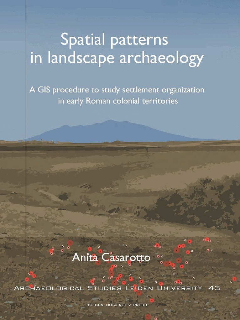
    Spatial Patterns in Landscape Archaeology

    A GIS Procedure to Study Settlement Organization in Early Roman Colonial Territories

    AvAnita Anita Casarotto

    Häftad, Engelska, 2018

    Del i serien Archaeological Studies Leiden University

    670 kr

    Beställningsvara. Skickas inom 5-8 vardagar. Fri frakt över 249 kr.

    Beskrivning

    This 43th volume of the ASLU series presents a useful GIS procedure to study settlement patterns in landscape archaeology. In several Mediterranean regions archaeological sites have been mapped by fieldwalking surveys, producing large amounts of data. These legacy site-based survey data represent an important resource to study ancient settlement organization. Methodological procedures are necessary to cope with the limits of these data, and more importantly with the distortions on data patterns caused by biasing factors. This book develops and applies a GIS procedure to use legacy survey data in settlement pattern analysis. It consists of two parts. One part regards the assessment of biases that can affect the spatial patterns exhibited by survey data. The other part aims to shed light on the location preferences and settlement strategy of ancient communities underlying site patterns. In this book, a case-study shows how the method works in practice. As part of the research by the Landscapes of Early Roman Colonization project (NWO, Leiden University, KNIR) site-based datasets produced by survey projects in central-southern Italy are examined in a comparative framework to investigate settlement patterns in the early Roman colonial period (3rd century B.C.).

    Produktinformation

    • Utgivningsdatum:2018-03-08
    • Mått:210 x 273 x 13 mm
    • Vikt:490 g
    • Format:Häftad
    • Språk:Engelska
    • Serie:Archaeological Studies Leiden University
    • Antal sidor:152
    • Förlag:Leiden University Press
    • ISBN:9789087283117

    Utforska kategorier

    • Arkeologi inom Historia och arkeologi

    Mer om författaren

    Anita Casarotto is an archaeologist and researcher specializing in GIS, survey methodology, pattern analysis and digital applications for cultural resource management. She obtained her PhD in 2018 from the Faculty of Archaeology at Leiden University.

    Innehållsförteckning

    • Acknowledgments Chapter 1. Introduction 1.1 Survey archaeology and regional analysis: a focus on Italy 1.2 The importance of legacy survey data 1.3 The integration of legacy survey datasets for inter-regional comparative analysis 1.4 Outline of the proposed research procedure 1.5 Case study 1.6 Structure of the book 1.7 References Chapter 2. A method for modeling dispersed settlements: visualizing an early Roman colonial landscape as expected by conventional theory 2.1 Introduction 2.2 Data 2.3 Visualizing the conventionally expected early colonial landscape 2.4 Discussion and further directions 2.5 References Chapter 3. Testing settlement models in the early Roman colonial landscapes of Venusia (291 B.C.), Cosa (273 B.C.) and Aesernia (263 B.C.) 3.1 Introduction 3.2 Data 3.3 Methods 3.4 Testing settlement density: point-density analysis 3.5 Testing settlement distribution: point-pattern analysis 3.6 Conclusions 3.7 References Chapter 4. Assessing visibility and geomorphological biases in regional field surveys: the case of Roman Aesernia 4.1 Introduction 4.2 Data 4.3 Methods 4.4 Evaluating surface visibility biases 4.5 Evaluating geomorphological biases 4.6 Combining results 4.7 Conclusions 4.8 References Chapter 5. Surface visibility and legacy survey data: between desktop-based analysis and new fieldwork 5.1 Introduction 5.2 Desktop-based analysis: testing the legacy site density 5.3 Control samples from new fieldwork: testing the legacy site pattern 5.4 Conclusions 5.5 References Chapter 6. A systematic GIS-based analysis of settlement developments in the landscape of Venusia in the Hellenistic-Roman period 6.1 Introduction 6.2 Data 6.3 Exploring the pre-Roman and Roman landscapes 6.4 Location preference analysis 6.5 Conclusions 6.6 References Chapter 7. Conclusions 7.1 References Appendix A Appendix B