E-bok, Engelska, 2021
Optical and SAR Remote Sensing of Urban Areas
815 kr
Läs direkt i Bokus Reader – eller ladda ned till din enhet
Beskrivning
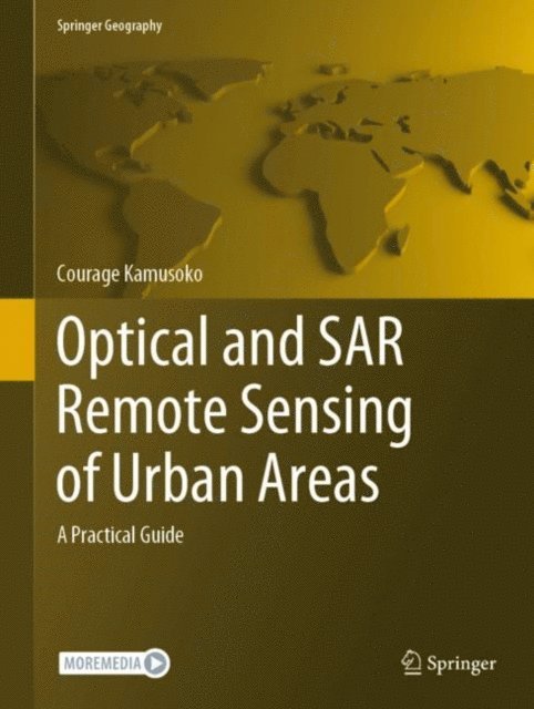
This book introduces remotely sensed image processing for urban areas using optical and synthetic aperture radar (SAR) data and assists students, researchers, and remote sensing practitioners who are interested in land cover mapping using such data. There are many introductory and advanced books on optical and SAR remote sensing image processing, but most of them do not serve as good practical guides. However, this book is designed as a practical guide and a hands-on workbook, where users can explore data and methods to improve their land cover mapping skills for urban areas. Although there are many freely available earth observation data, the focus is on land cover mapping using Sentinel-1 C-band SAR and Sentinel-2 data. All remotely sensed image processing and classification procedures are based on open-source software applications such QGIS and R as well as cloud-based platforms such as Google Earth Engine (GEE).
The book is organized into six chapters. Chapter 1 introduces geospatial machine learning, and Chapter 2 covers exploratory image analysis and transformation. Chapters 3 and 4 focus on mapping urban land cover using multi-seasonal Sentinel-2 imagery and multi-seasonal Sentinel-1 imagery, respectively. Chapter 5 discusses mapping urban land cover using multi-seasonal Sentinel-1 and Sentinel-2 imagery as well as other derived data such as spectral and texture indices. Chapter 6 concludes the book with land cover classification accuracy assessment.
Produktinformation
- Utgivningsdatum: 2021-12-02
- Språk: Engelska
- Filformat: EPUB
- Kopieringsskydd: LCP
- ISBN: 9789811651496
- Förlag: Springer Nature Singapore
Utforska kategorier
Betyg & recensioner
0 recensioner
Inga recensioner tillgängliga.