Guoqing Zhou – författare
Visar alla böcker från författaren Guoqing Zhou. Handla med fri frakt och snabb leverans.
15 produkter
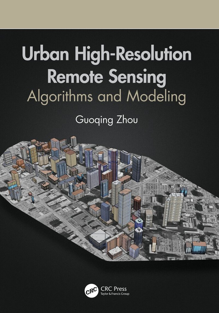
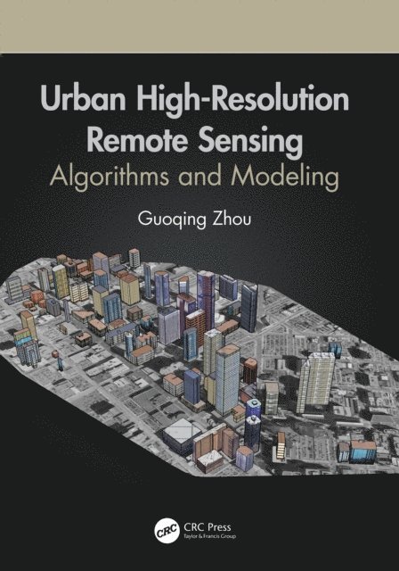
Urban High-Resolution Remote Sensing
Algorithms and Modeling
Av Guoqing Zhou
Häftad, 2023
1071 kr
Lägg i varukorg
With urbanization as a global phenomenon, there is a need for data and information about these terrains. Urban remote sensing techniques provide critical physical input and intelligence for preparing base maps, formulating planning proposals, and monitoring implementations. Likewise these …
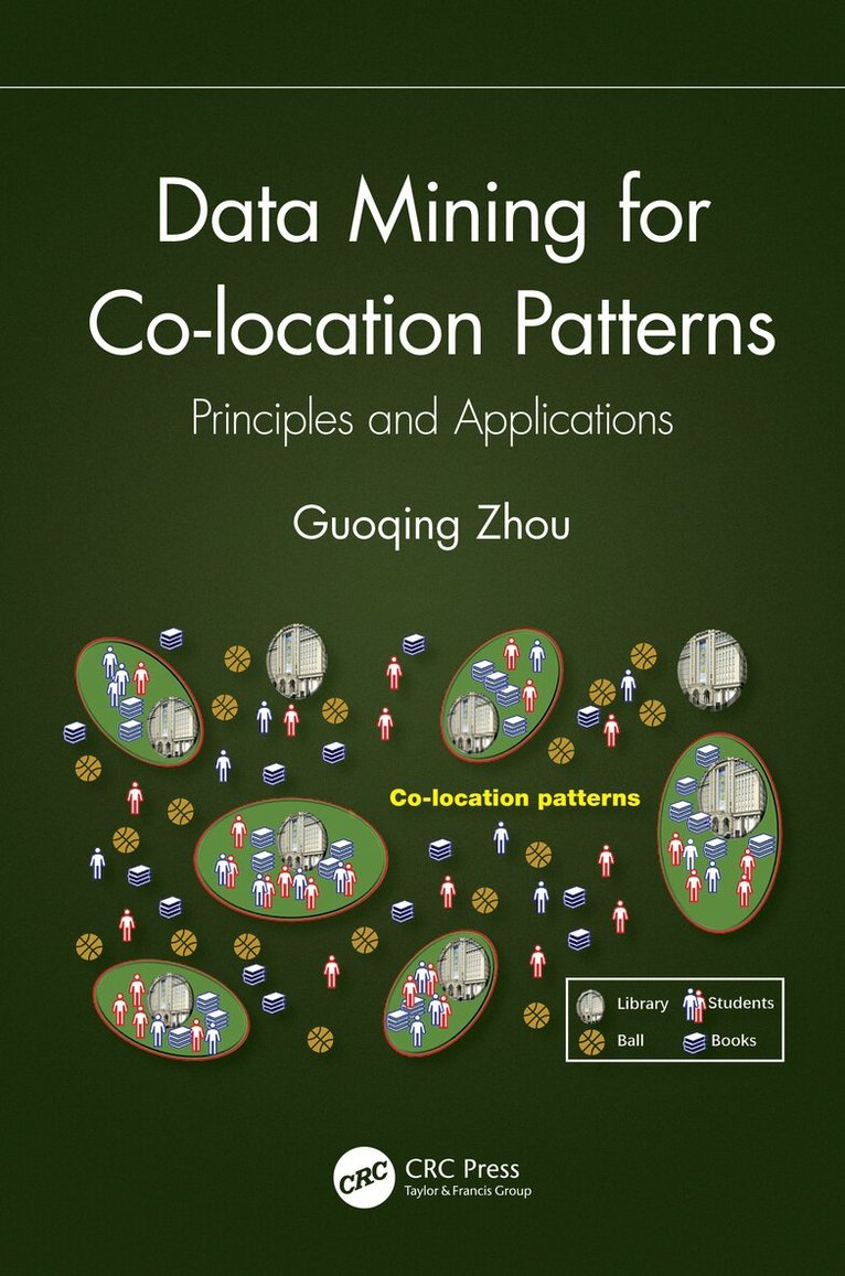
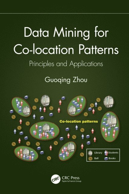
Data Mining for Co-location Patterns
Principles and Applications
Av Guoqing Zhou
Inbunden, 2022
2131 kr
Lägg i varukorg
Co-location pattern mining detects sets of features frequently located in close proximity to each other. This book focuses on data mining for co-location pattern, a valid method for identifying patterns from all types of data and applying them in business intelligence and analytics. It explains the …
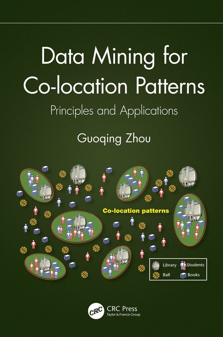
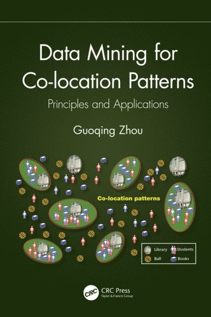
Data Mining for Co-location Patterns
Principles and Applications
Av Guoqing Zhou
Häftad, 2024
749 kr
Lägg i varukorg
Co-location pattern mining detects sets of features frequently located in close proximity to each other. This book focuses on data mining for co-location pattern, a valid method for identifying patterns from all types of data and applying them in business intelligence and analytics. It explains the …
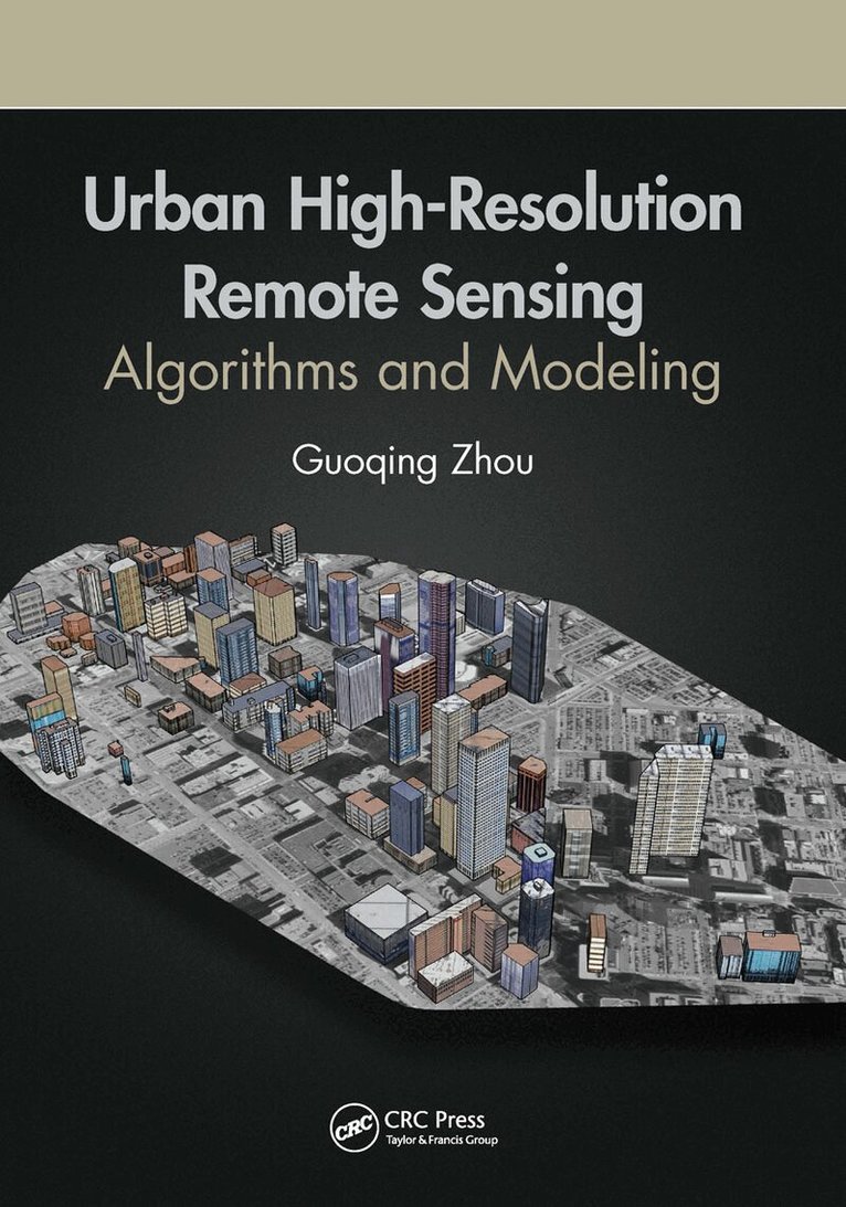
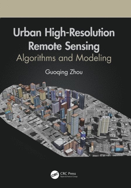
Urban High-Resolution Remote Sensing
Algorithms and Modeling
Av Guoqing Zhou
Inbunden, 2020
2824 kr
Lägg i varukorg
With urbanization as a global phenomenon, there is a need for data and information about these terrains. Urban remote sensing techniques provide critical physical input and intelligence for preparing base maps, formulating planning proposals, and monitoring implementations. Likewise these …
Urban High-Resolution Remote Sensing
Algorithms and Modeling
Av Guoqing Zhou
E-bok, 2020
1230 kr
Lägg i varukorg
With urbanization as a global phenomenon, there is a need for data and information about these terrains. Urban remote sensing techniques provide critical physical input and intelligence for preparing base maps, formulating planning proposals, and monitoring implementations. Likewise these …
Data Mining for Co-location Patterns
Principles and Applications
Av Guoqing Zhou
E-bok, 2022
883 kr
Lägg i varukorg
Co-location pattern mining detects sets of features frequently located in close proximity to each other. This book focuses on data mining for co-location pattern, a valid method for identifying patterns from all types of data and applying them in business intelligence and analytics. It explains the …
On-Board Processing for Satellite Remote Sensing Images
Av Guoqing Zhou
E-bok, 2023
763 kr
Lägg i varukorg
On-board image processing systems are used to maximize image data transmission efficiency for large volumes of data gathered by Earth observation satellites. This book explains the methods, mathematical models, and key technologies used for these systems. It introduces the background, basic …
On-Board Processing for Satellite Remote Sensing Images
Av Guoqing Zhou
E-bok, 2023
779 kr
Lägg i varukorg
On-board image processing systems are used to maximize image data transmission efficiency for large volumes of data gathered by Earth observation satellites. This book explains the methods, mathematical models, and key technologies used for these systems. It introduces the background, basic …
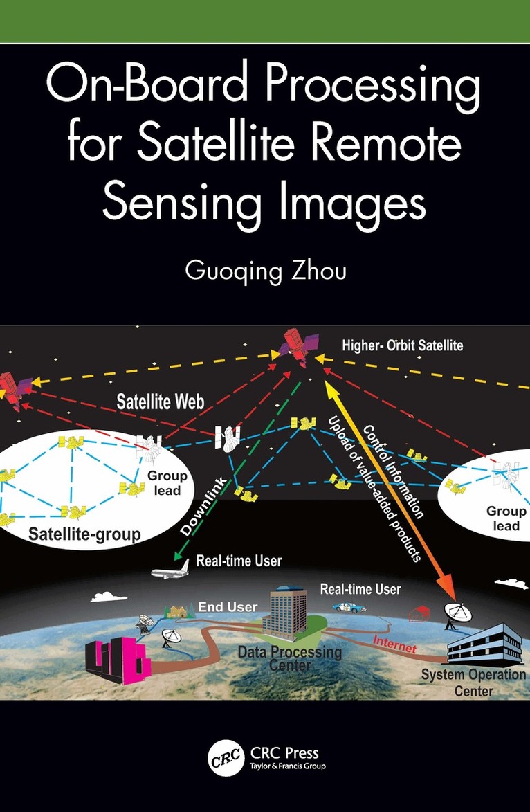
On-Board Processing for Satellite Remote Sensing Images
Av Guoqing Zhou
Inbunden, 2023
2131 kr
Lägg i varukorg
On-board image processing systems are used to maximize image data transmission efficiency for large volumes of data gathered by Earth observation satellites. This book explains the methods, mathematical models, and key technologies used for these systems. It introduces the background, basic …
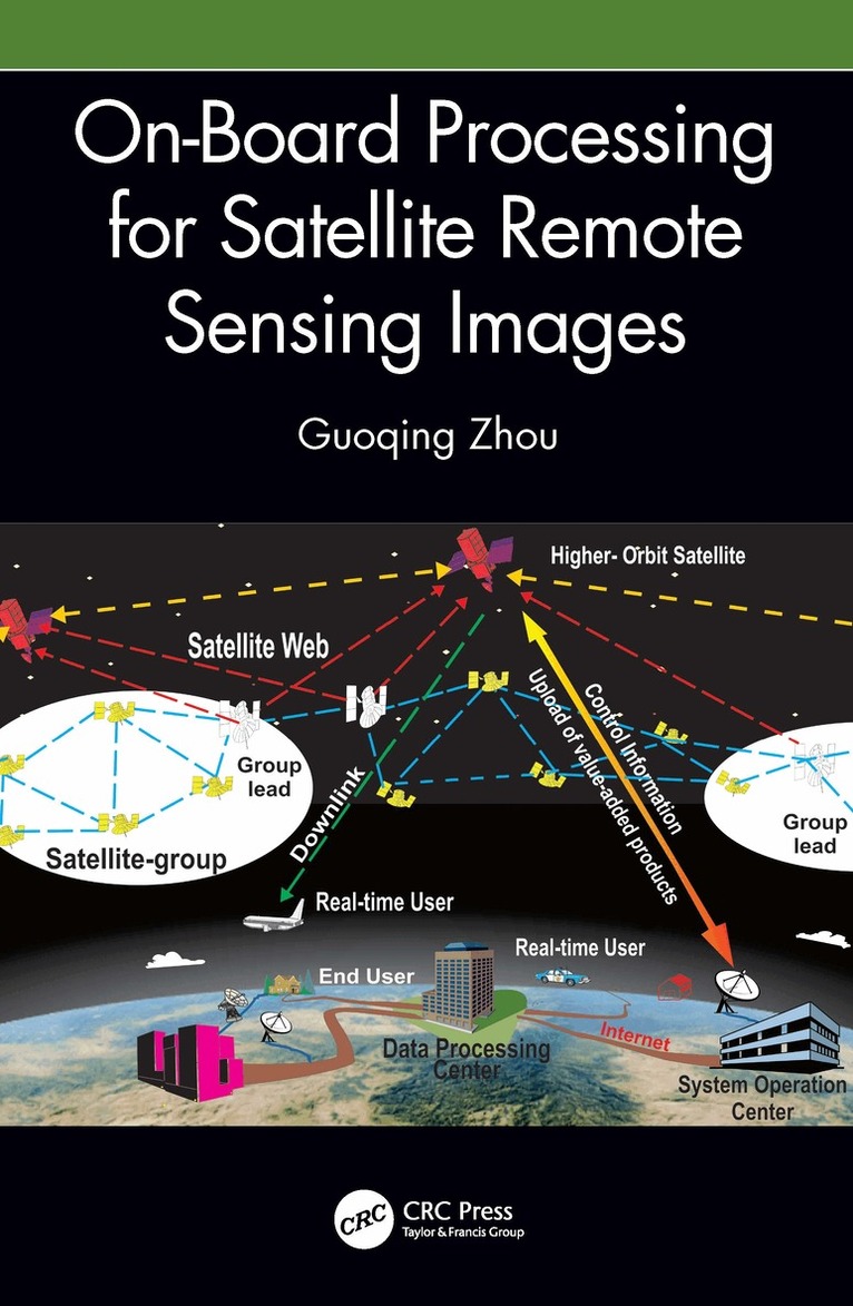
On-Board Processing for Satellite Remote Sensing Images
Av Guoqing Zhou
Häftad, 2025
822 kr
Lägg i varukorg
On-board image processing systems are used to maximize image data transmission efficiency for large volumes of data gathered by Earth observation satellites. This book explains the methods, mathematical models, and key technologies used for these systems. It introduces the background, basic …
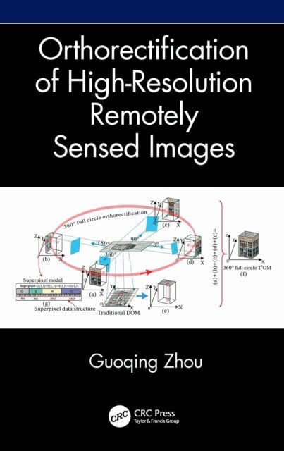
Orthorectification of High-Resolution Remotely Sensed Images
Av Guoqing Zhou
E-bok, 2026
1022 kr
Kommande
Orthorectification in remote sensing is used to geometrically correct satellite or aerial image distortions caused by terrain elevation and sensor lense etc. This book explains the orthorectification for different imaging methods such as frame, linear, and video imaging, for different imaged areas …
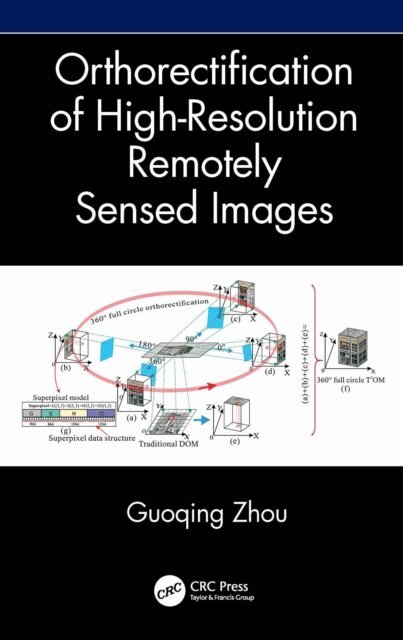
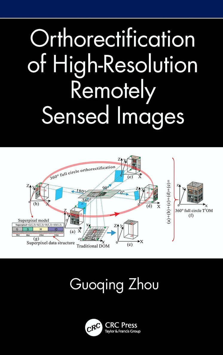
Orthorectification of High-Resolution Remotely Sensed Images
Av Guoqing Zhou
Inbunden, 2026
1520 kr
Lägg i varukorg
Orthorectification in remote sensing is used to geometrically correct satellite or aerial image distortions caused by terrain elevation and sensor lense etc. This book explains the orthorectification for different imaging methods such as frame, linear, and video imaging, for different imaged areas …