Pedro Trapero Fernandez – författare
Visar alla böcker från författaren . Handla med fri frakt och snabb leverans.
7 produkter
7 produkter
E-bok
Engelska, 2026293 kr
Läs direkt efter köp
Inbunden, Engelska, 2024
1 214 kr
Skickas inom 10-15 vardagar
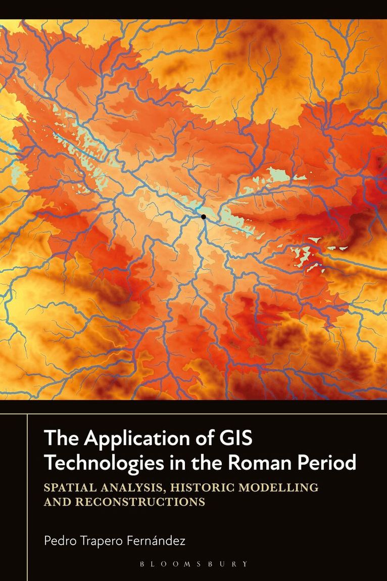
Using a selection of archaeological cases studies from the Roman period in the Mediterranean region, Pedro Trapero Fernández shows how GIS technologies can be employed in the creation of spatial models to reproduce historical realities. An increasing number of researchers use this digital humanities tool as a means to model both territory and landscape. This book compiles different spatial models under a unified methodology described in separated chapters, such as mobility and visibility models, and discusses their limitations and potential for implementation in archaeological contexts. The result is a detailed analysis of each method, which consequently results in an accessible manual for understanding GIS technologies. Designed for students and scholars with varying degrees of training in GIS, who intend to carry out spatial analysis and historical models, the approach of this book establishes a reference framework to work with GIS technologies in other historical periods. Trapero concludes by discussing the future of GIS and spatial analysis, and how it can be studied and used as a methodological approach in archaeological practice and research.
E-bok
PDF, Engelska, 2024436 kr
Läs direkt efter köp
Using a selection of archaeological cases studies from the Roman period in the Mediterranean region, Pedro Trapero Fernández shows how GIS technologies can be employed in the creation of spatial models to reproduce historical realities. An increasing number of researchers use this digital humanities tool as a means to model both territory and landscape. This book compiles different spatial models under a unified methodology described in separated chapters, such as mobility and visibility models, and discusses their limitations and potential for implementation in archaeological contexts. The result is a detailed analysis of each method, which consequently results in an accessible manual for understanding GIS technologies. Designed for students and scholars with varying degrees of training in GIS, who intend to carry out spatial analysis and historical models, the approach of this book establishes a reference framework to work with GIS technologies in other historical periods. Trapero concludes by discussing the future of GIS and spatial analysis, and how it can be studied and used as a methodological approach in archaeological practice and research.
E-bok
Engelska, 2024452 kr
Läs direkt efter köp
Using a selection of archaeological cases studies from the Roman period in the Mediterranean region, Pedro Trapero Fernández shows how GIS technologies can be employed in the creation of spatial models to reproduce historical realities. An increasing number of researchers use this digital humanities tool as a means to model both territory and landscape. This book compiles different spatial models under a unified methodology described in separated chapters, such as mobility and visibility models, and discusses their limitations and potential for implementation in archaeological contexts. The result is a detailed analysis of each method, which consequently results in an accessible manual for understanding GIS technologies. Designed for students and scholars with varying degrees of training in GIS, who intend to carry out spatial analysis and historical models, the approach of this book establishes a reference framework to work with GIS technologies in other historical periods. Trapero concludes by discussing the future of GIS and spatial analysis, and how it can be studied and used as a methodological approach in archaeological practice and research.
Häftad, Engelska, 2026
419 kr
Skickas inom 10-15 vardagar
Using a selection of archaeological cases studies from the Roman period in the Mediterranean region, Pedro Trapero Fernández shows how GIS technologies can be employed in the creation of spatial models to reproduce historical realities. An increasing number of researchers use this digital humanities tool as a means to model both territory and landscape. This book compiles different spatial models under a unified methodology described in separated chapters, such as mobility and visibility models, and discusses their limitations and potential for implementation in archaeological contexts. The result is a detailed analysis of each method, which consequently results in an accessible manual for understanding GIS technologies. Designed for students and scholars with varying degrees of training in GIS, who intend to carry out spatial analysis and historical models, the approach of this book establishes a reference framework to work with GIS technologies in other historical periods. Trapero concludes by discussing the future of GIS and spatial analysis, and how it can be studied and used as a methodological approach in archaeological practice and research.
Häftad, Engelska, 2023
928 kr
Skickas inom 5-8 vardagar
Häftad, Spanska, 2021
880 kr
Skickas inom 5-8 vardagar