Bokus

Historic English Counties Map Collection – serie

Visar alla böcker i serien Historic English Counties Map Collection. Handla med fri frakt och snabb leverans.

1 produkter
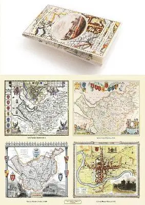
  1. Cheshire 1611 – 1840 – Fold Up Map that features a collection of Four Historic Maps, John Speed’s County Map 1611, Johan Blaeu’s County Map of 1648, Thomas Moules County Map of 1840 and Cole and Roper’s Plan of the City of Chester 1805., Häftad. Tillgänglighet: Lägg i varukorg

    Cheshire 1611 – 1840 – Fold Up Map that features a collection of Four Historic Maps, John Speed’s County Map 1611, Johan Blaeu’s County Map of 1648, Thomas Moules County Map of 1840 and Cole and Roper’s Plan of the City of Chester 1805.

    Häftad, 2018

    259 kr

    Lägg i varukorg