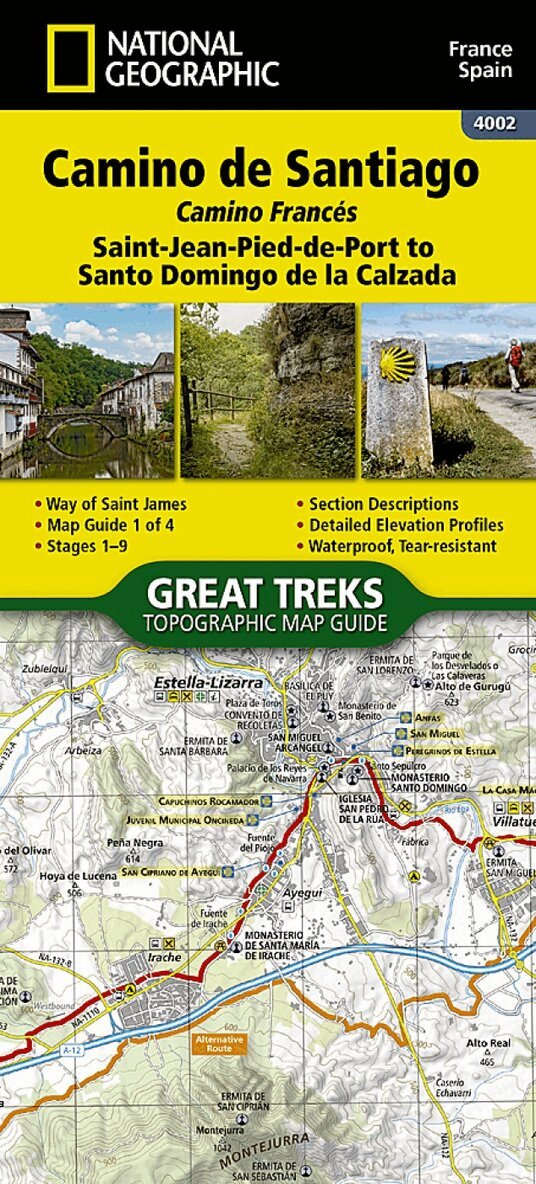
Waterproof & Tear-Resistant Topographic Map. The Way of Saint James, known in Spanish as Camino de Santiago; or simply El Camino (The Way), has been one of Europe's most iconic walking routes since 9th century pilgrims began making their way to the Cathedral of Santiago de Compostela to venerate the remains of Saint James. Though rooted in Christian tradition, the route has been reborn as a nondenominational spiritual rite and epic long distance trail that runs along Roman roads, across mountains, and through picturesque countryside and historic towns. The Saint-Jean-Pied-de-Port to Santo Domingo de la Calzada Map Guide booklet makes a perfect traveling companion when traversing the furthest east section of the Camino Frances (French Route). This section of the trail passes over the Pyrenees from France into Spain and then through Pamplona (Iruna) and includes sections 1-9. A detailed description of each trail section is included that tells travelers about the many landmarks encountered along the way. Each Camino de Santiago Topographic Map Guide includes detailed topographic maps of 2 cm = 1 km. Each page is centered on the trail and overlaps with the adjacent pages so there is little chance of getting lost. Along the bottom of each page is a trail profile that shows the distance between towns, rest houses, and trail access points. The map and trail profile provide a step by step visual guide to hiking the trail. Every Great Treks map is printed on 'Backcountry Tough' waterproof, tear-resistant paper. A full Lat/Long grid is printed on the map to aid with GPS navigation. Every map purchase helps support the National Geographic Society, an impact driven, nonprofit organization with global reach that uses the power of science, exploration, education, and storytelling to illuminate and protect the wonder of our world. Map number 4002
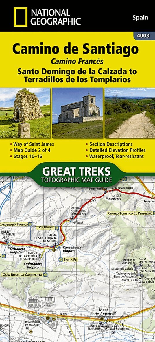
Waterproof, Tear-Resistant Topographic Map. The Way of Saint James, known in Spanish as Camino de Santiago - or simply El Camino (The Way) - has been one of Europe's most iconic walking routes since 9th century pilgrims began making their way to the Cathedral of Santiago de Compostela to venerate the remains of Saint James. Though rooted in Christian tradition, the route has been reborn as a nondenominational spiritual rite and epic long distance trail that runs along Roman roads, across mountains, and through picturesque countryside and historic towns. The Santo Domingo de la Calzada to Terradillos de los Templarios Topographic Map Guide booklet makes a perfect traveling companion when traversing the central-east section of the Camino Frances (French Route). This section of the trail passes trough the historic city of Burgos and includes sections 10 - 16. A detailed description of each trail section is included that tells travelers about the many landmarks encountered along the way. Each Camino de Santiago Topographic Map Guide includes detailed topographic maps of 2 cm = 1 km. Each page is centered on the trail and overlaps with the adjacent pages so there is little chance of getting lost. Along the bottom of each page is a trail profile that shows the distance between towns, rest houses, and trail access points. The map and trail profile provide a step by step visual guide to hiking the trail. Every Great Treks map is printed on 'Backcountry Tough' waterproof, tear-resistant paper. A full Lat/Long grid is printed on the map to aid with GPS navigation. Every map purchase helps support the National Geographic Society, an impact driven, nonprofit organization with global reach that uses the power of science, exploration, education, and storytelling to illuminate and protect the wonder of our world. Map 4003
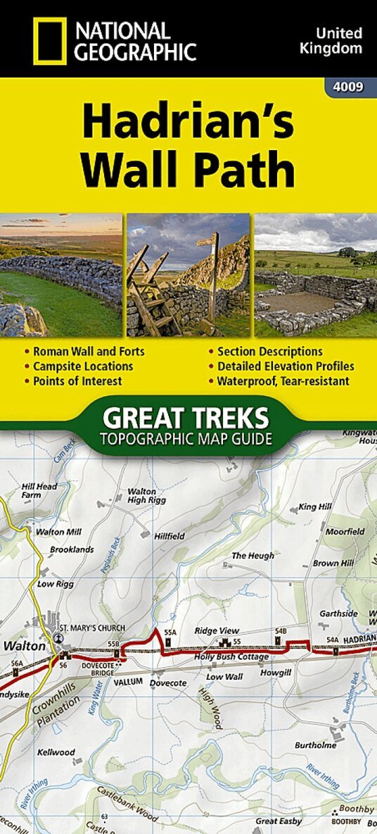
The Hadrian's Wall Path Topographic Map Guide booklet makes a perfect traveling companion when traversing the route. A detailed description of each trail section is included that tells travelers about the many landmarks encountered along the way. As a demonstration of the Roman Empire's power and strength, Emperor Hadrian conceived the idea to build a wall to deter attacks on his Roman territory Britannia. At the time - and even today - building a 73-mile (118-kilometer) long wall, standing 5 meters (16 feet) high and 3 meters (10 feet) wide was an exceptional undertaking. In a.d. 122, approximately 15,000 soldiers were enlisted to begin construction of this project, which included forts, turrets, bridges, milecastles, and the interconnecting wall. Today, Hadrian's Wall is recognized as a UNESCO World Heritage Site. From Bowness-on-Solway to Wallsend, the 84-mile (135-kilometer) Hadrian?s Wall Path meanders the wild and scenic English countryside providing an opportunity to learn more about these historic sites.
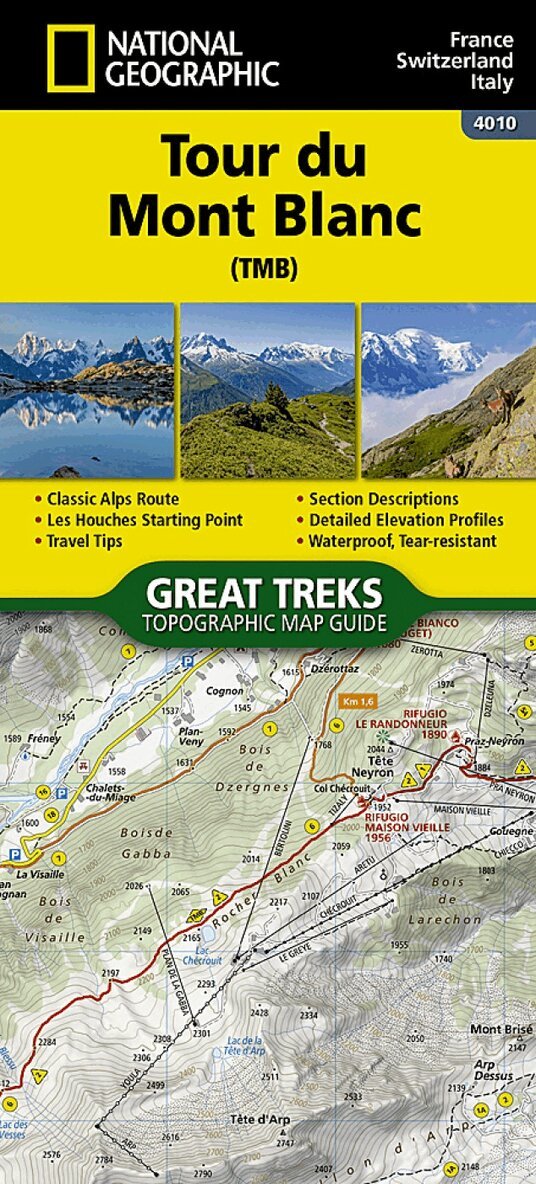
- Waterproof - Tear-Resistant - Topographic Map Located in the northwetern Alps, between the Aosta Valley and Haute-Savoie, Mont Blanc is the highest mountain in Europe at 4,808 meters (15,774 feet). The central part of the Mont Blanc Massif, always snow-covered, consists of a mountain range that crosses Italy, France, and Switzerland. The Tour du Mont-Blanc (TMB) runs counterclockwise with start and finish in Les Houches, France. It covers approximately 170 km with clear signage, a 10,000-meter elevation gain (positive and negative), and takes 10 to 12 days to walk passing through France, Switzerland, and Italy. Travelers will have a chance to admire the spectacular landscapes: vast glacier areas, meadows rich in diverse flora, fascinating lunar-like rock landscapes, alpine pastures, charming villages, and refuges offering a comfortable place to rest The Tour du Mont-Blanc Topographic Map Guide booklet makes a perfect traveling companion when traversing this famous routes. A detailed description of each trail section is included that tells travelers about the many landmarks encountered along the way.