OS Map Books - Wales Coast Path – serie
Visar alla böcker i serien OS Map Books - Wales Coast Path. Handla med fri frakt och snabb leverans.
4 produkter
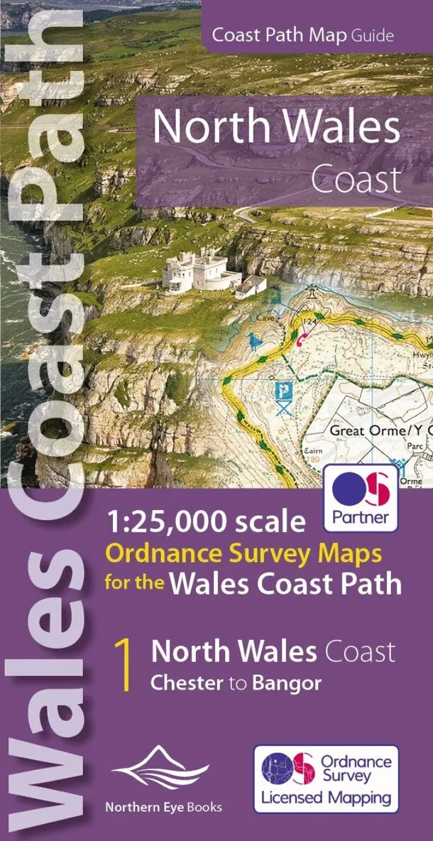
North Wales Coast Path Map
1:25,000 Ordnance Survey maps for the Wales Coast Path
Häftad, 2022
133 kr
Lägg i varukorg
One of seven handy, lightweight, pocket sized map books covering the whole of the 870 mile/1400 kilometre Wales Coast Path. This volume covers North Wales from Chester to Bangor and includes enhanced large scale (1:25,000) Ordnance Survey mapping in a handy atlas format, with extracts from large …
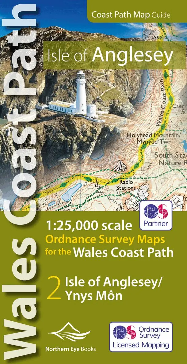
Isle of Anglesey Coast Path Map (WCP)
1:25 000 scale OS mapping for the Isle of Anglesey WCP
Häftad, 2019
136 kr
Lägg i varukorg
Enhanced, large scale (1: 25,000) Ordnance Survey mapping in a handy atlas format with all the mapping you need to walk a complete circuit of the Anglesey section of the Wales Coast Path. Continuous OS mapping covering the complete circuit from Menai Bridge. Contains coastal extracts from large …
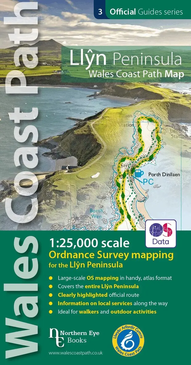
Llyn Peninsula Coast Path Map (WCP)
1:25 000 scale OS mapping for the Llyn Peninsula
Häftad, 2020
132 kr
Lägg i varukorg
Enhanced, large scale (1:25,000) Ordnance Survey mapping in a handy atlas format with all the mapping you need to walk the Llyn Peninsula section of the Wales Coast Path. Continuous OS mapping covering the Wales Coast Path between Bangor and Porthmadog. Contains extracts from large scale Explorer …
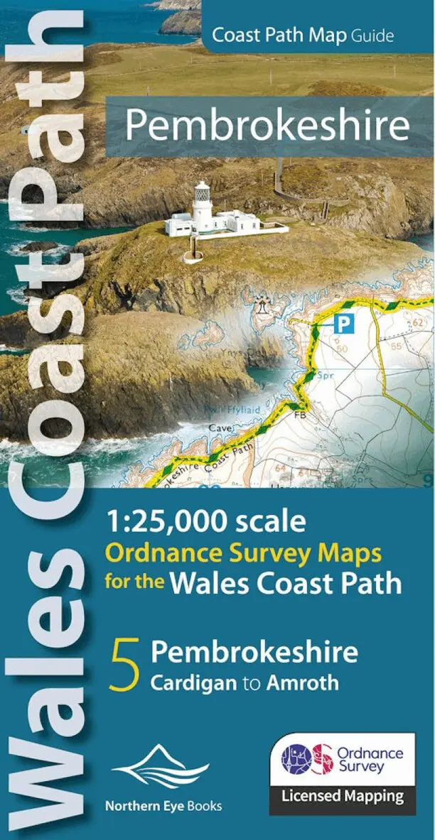
Pembrokeshire Coast Path Map
1:25,000 Ordnance Survey maps for the Wales Coast Path
Häftad, 2023
130 kr
Lägg i varukorg
Continuous OS mapping covering the Wales Coast Path between Cardigan and Amroth. Contains extracts from large scale 1:25,000 Explorer maps 35 and 36. - Large scale OS mapping for the complete coast of Pembrokeshire in a handy atlas format. (Also covers the entire Pembrokeshire Coastal Path) - …